← Equipment
Matrice 400 payloads
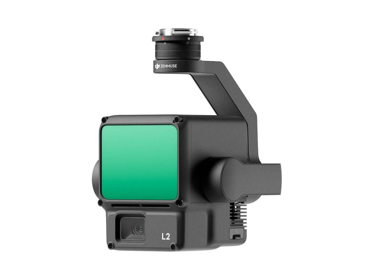
DJI Zenmuse L2
LiDAR sensor: captures the ground beneath vegetation, for terrain models in wooded areas and corridor surveys.
Used with
Specifications
Manufacturer's data, copied from the official DJI page on 28 September 2026. Official DJI page ↗
General
8 items
- Product Name
- Zenmuse L2
- Dimensions
- 155×128×176 mm (L×W×H)
- Weight
- 905±5 g
- Power
- 28 W (typical)58 W (max.)
- IP Rating
- IP54
- Supported Aircraft
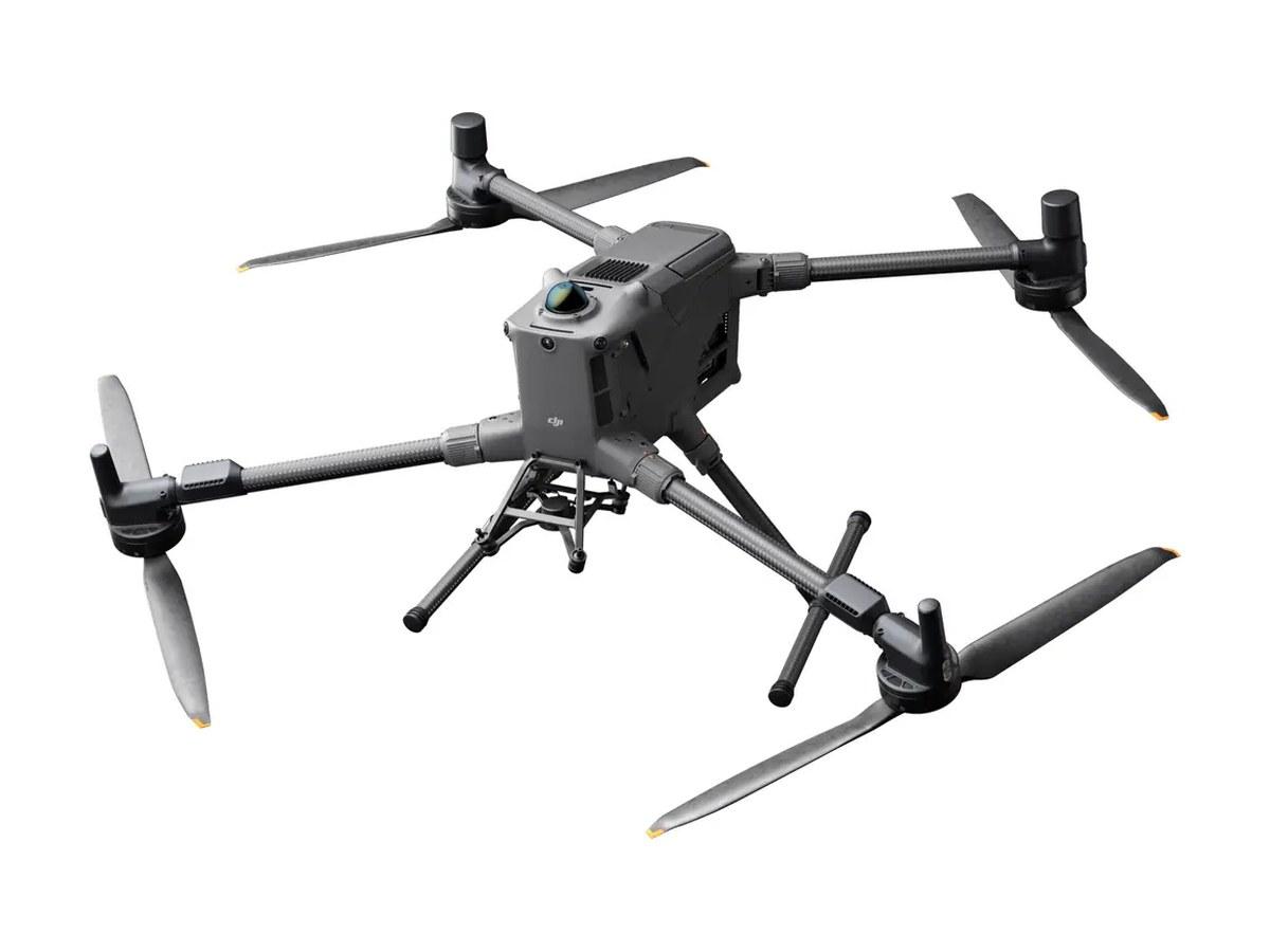
- Matrice 400Matrice 350 RTKMatrice 300 RTK (requires DJI RC Plus)
- Storage Temperature
- -20° to 60° C (-4° to 140° F)
- General Operating Temperature
- -20° to 50° C (-4° to 122° F)
System Performance
4 items
- Detection Range
- 450m @50% reflectivity, 0 klx250m @10% reflectivity, 100 klxTypical data. Measured using a flat subject with a size larger than the laser beam diameter, perpendicular angle of incidence, and an atmospheric visibility of 23 km. In low-light environments, the laser beams can achieve the optimal detection range. If a laser beam hits more than one subject, the total laser transmitter power is split, and the achievable range is reduced. The maximum detection range is 500 m.
- Point Cloud Rate
- Single return: max. 240,000 pts/sMultiple returns: max. 1,200,000 pts/s
- System Accuracy
- Horizontal: 5 cm @ 150 mVertical: 4 cm @ 150 mMeasured under the following conditions in a DJI laboratory environment: Zenmuse L2 mounted on a Matrice 350 RTK and powered up. Using an Area Route to plan the flight route (with Calibrate IMU enabled). Using repetitive scanning with the RTK in the FIX status. The relative altitude was set to 150 m, flight speed to 15 m/s, gimbal pitch to -90°, and each straight segment of the flight route was less than 1500 m. The field contained objects with obvious angular features, and used exposed hard ground check points that conformed to the diffuse reflection model. Post-processing with Optimize Point Cloud Accuracy enabled. Under the same conditions with Optimize Point Cloud Accuracy not enabled, the vertical accuracy is 4 cm and the horizontal accuracy is 8 cm.
- Real-Time Point Cloud Coloring Coding
- Reflectivity, Height, Distance, RGB
LiDAR
13 items
- Ranging Accuracy (RMS 1σ)
- 2 cm @ 150 mMeasured in an environment of 25° C (77° F) with a subject of 80% reflectivity at a distance of 150 m. The actual environment may differ from the testing environment. The figure listed is for reference only.
- Maximum Returns Supported
- 5
- Scanning Modes
- Non-repetitive scanning pattern, Repetitive scanning pattern
- FOV
- Repetitive scanning pattern: Horizontal 70°, Vertical 3°Non-repetitive scanning pattern: Horizontal 70°, Vertical 75°
- Minimum Detection Range
- 3 m
- Laser Beam Divergence
- Horizontal 0.2 mrad, Vertical 0.6 mradMeasured at full width at half maximum (FWHM) conditions. 0.6 mrad signifies that for every 100m increase in distance, the diameter of the laser beam expands by 6 cm.
- Laser Wavelength
- 905 nm
- Laser Spot Size
- Horizontal 4 cm, vertical 12 cm @ 100 m (FWHM)
- Laser Pulse Emission Frequency
- 240 kHz
- Laser Safety
- Class 1 (IEC 60825-1:2014)
- Accessible Emission Limit (AEL)
- 233.59 nJ
- Reference Aperture
- Effective Aperture: 23.85 mm (equivalent to circular)
- Max Laser Pulse Emission Power Within 5 Nanoseconds
- 46.718 W
IMU System
5 items
- IMU Update Frequency
- 200 Hz
- Accelerometer Range
- ±6 g
- Angular Velocity Meter Range
- ±300 dps
- Horizontal Positioning Accuracy
- RTK FIX: 1 cm + 1 ppm
- Vertical Positioning Accuracy
- RTK FIX: 1.5 cm + 1 ppm
RGB Mapping Camera
12 items
- Sensor
- 4/3 CMOS, Effective Pixels: 20 MP
- Lens
- FOV: 84°Format Equivalent: 24 mmAperture: f/2.8-f/11Focus Points: 1 m to ∞ (with autofocus)
- Shutter Speed
- Mechanical Shutter: 2-1/2000 sElectronic Shutter: 2-1/8000 s
- Shutter Count
- 200000
- Photo Size
- 5280×3956 (4:3)
- Still Photography Modes
- Single shot: 20 MPTimed: 20 MPJPEG Timed Interval: 0.7/1/2/3/5/7/10/15/20/30/60 sRAW/JPEG + RAW Timed Interval: 2/3/5/7/10/15/20/30/60 s
- Video Codec and Resolution
- H.264, H.2654K: 3840×2160 @30fpsFHD: 1920×1080 @30fps
- ISO
- Video: 100-6400Photo: 100-6400
- Video Bitrate
- 4K: 85MbpsFHD: 30 Mbps
- Supported File System
- exFAT
- Photo Format
- JPEG/DNG (RAW)
- Video Format
- MP4 (MPEG-4 AVC/H.264 or HEVC/H.265)
Gimbal
6 items
- Stabilization System
- 3-axis (tilt, roll, pan)
- Angular Vibration Range
- 0.01°
- Mounting
- Detachable DJI SKYPORT
- Mechanical Range
- Tilt: -143° to +43°Pan: ±105°* Structural limit, not controllable range.
- Controllable Range
- Tilt: -120° to +30°Pan: ±90°
- Operation Mode
- Follow/Free/Re-center
Data Storage
4 items
- Raw Data Storage
- Photo/IMU/Point cloud/GNSS/Calibration files
- Point Cloud Data Storage
- Real-time modeling data storage
- Supported microSD Cards
- microSD: Sequential writing speed 50 MB/s or above and UHS-I Speed Grade 3 rating or above; Max capacity: 256 GB. Use the recommended microSD cards.
- Recommended microSD Cards
- Lexar 1066x 64GB U3 A2 V30 microSDXCLexar 1066x 128GB U3 A2 V30 microSDXCKingston Canvas Go! Plus 128GB U3 A2 V30 microSDXCLexar 1066x 256GB U3 A2 V30 microSDXC