Altitude and tilt set for the subject
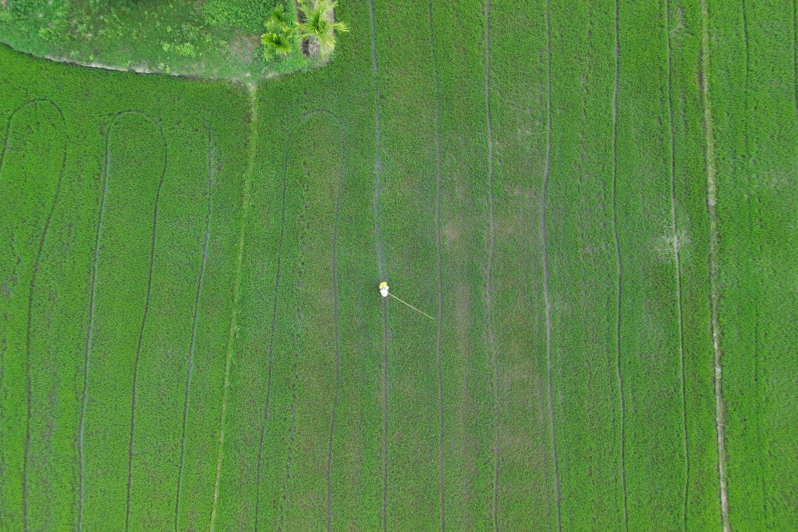
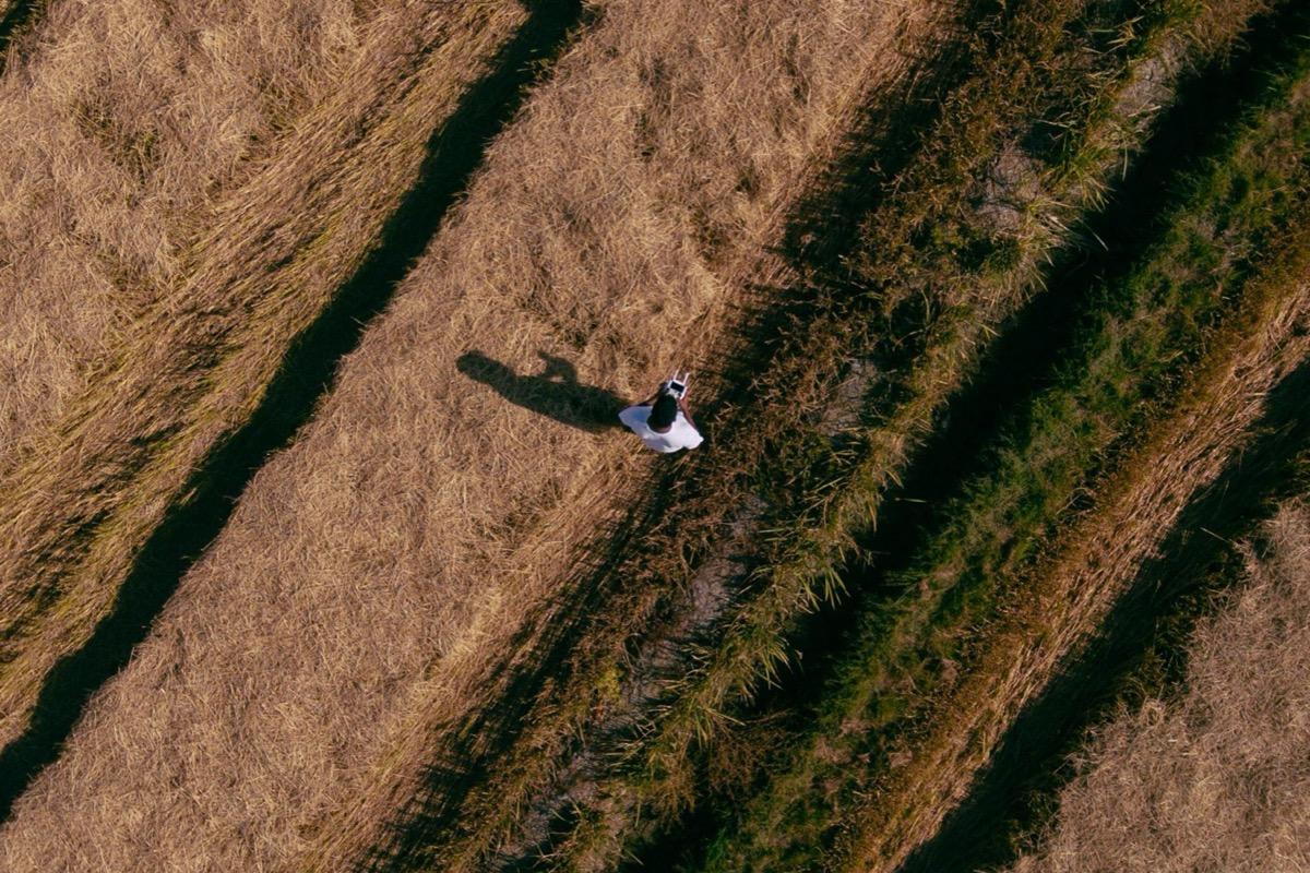
For a standing person the camera is tilted to −30° and the flight is at fifty metres, so the whole figure is framed.
A person in an open field, shot at search altitude and tilt.
Aerial support for missing-person searches, day and night, and rapid surveys after floods, landslides and collapses, with a georeferenced map of the affected area available within hours.
In the first hours after an event the priority is to know the extent and location of the damage. A flight over the affected area returns a georeferenced overview that overlays existing mapping and on which the deployment of teams can be coordinated.
Reference figures
Emergency and rescue
After sunset the ground cools while the human body keeps its temperature: the thermal camera detects this difference, which the eye cannot perceive. Aerial support works alongside ground teams, covers in minutes areas that take hours on foot, and indicates where to focus the search.
For a standing person the camera is tilted to −30° and the flight is at fifty metres, so the whole figure is framed.
A person in an open field, shot at search altitude and tilt.
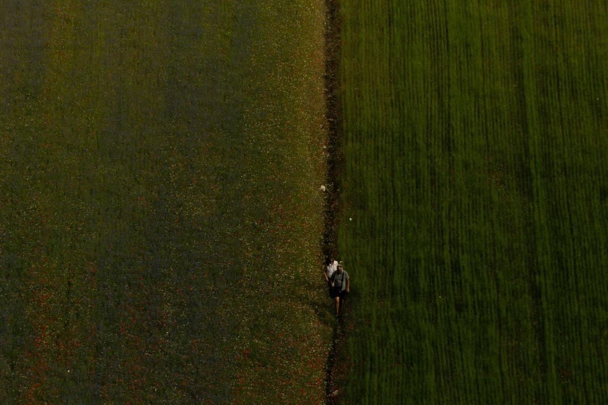
The criterion used in rescue work calls for 4 pixels on the subject to detect it, 15 to recognise it and 25 to identify it. Flight altitude is chosen on these values.
A subject shot from higher up: enough for detection, not for recognition.
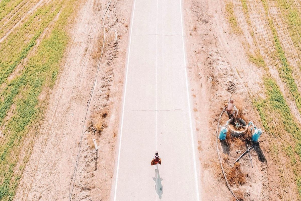
Search speed is five metres per second: above this the subject may be missed, regardless of the available resolution.
A moving subject on a road.
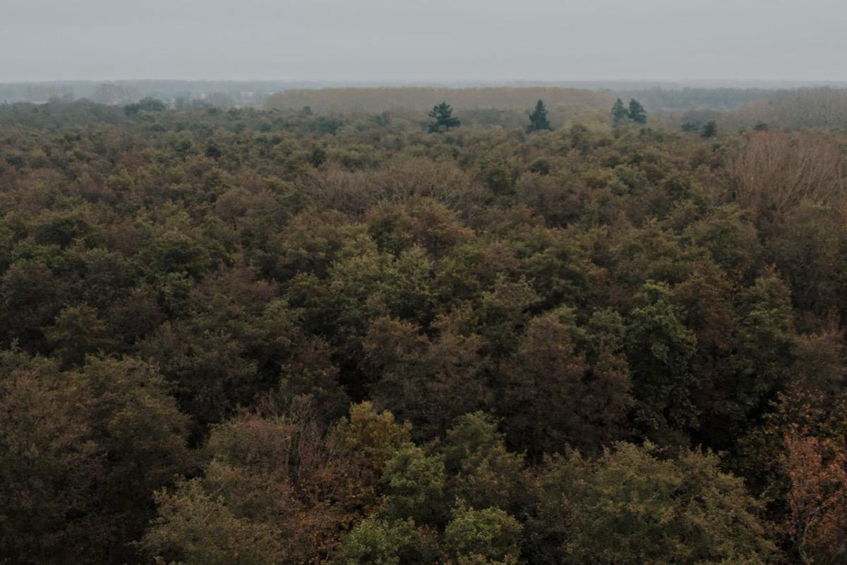
The area already observed is recorded on the map from the camera's field of view, so it is always clear which zones remain to be covered.
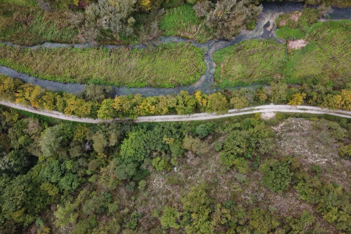
Dense woodland: a map of the areas already observed avoids flying over the same canopy twice.
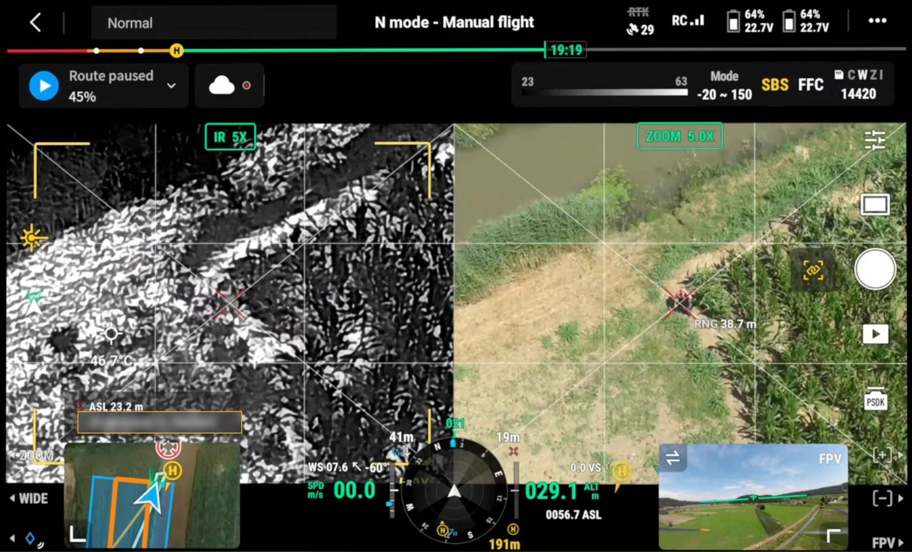
Controller screen during one of our flights
Actual controller screen: thermal image on the left, visible camera on the right, both on the same point. Under the crosshair, 38.7 metres away, a person lies still in the vegetation. Sun-exposed ground reaches 46.7 °C, above body temperature: in these conditions the person appears dark in the thermal image rather than bright as at night. Coordinates have been masked.
Emergency and rescue
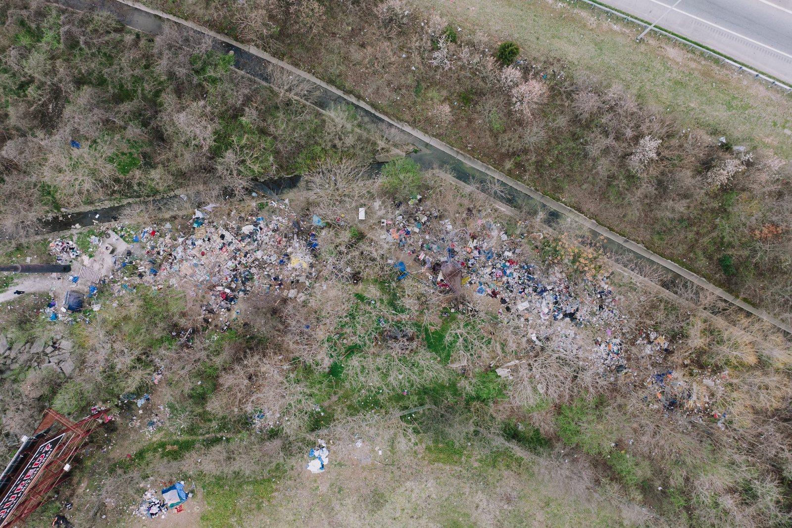
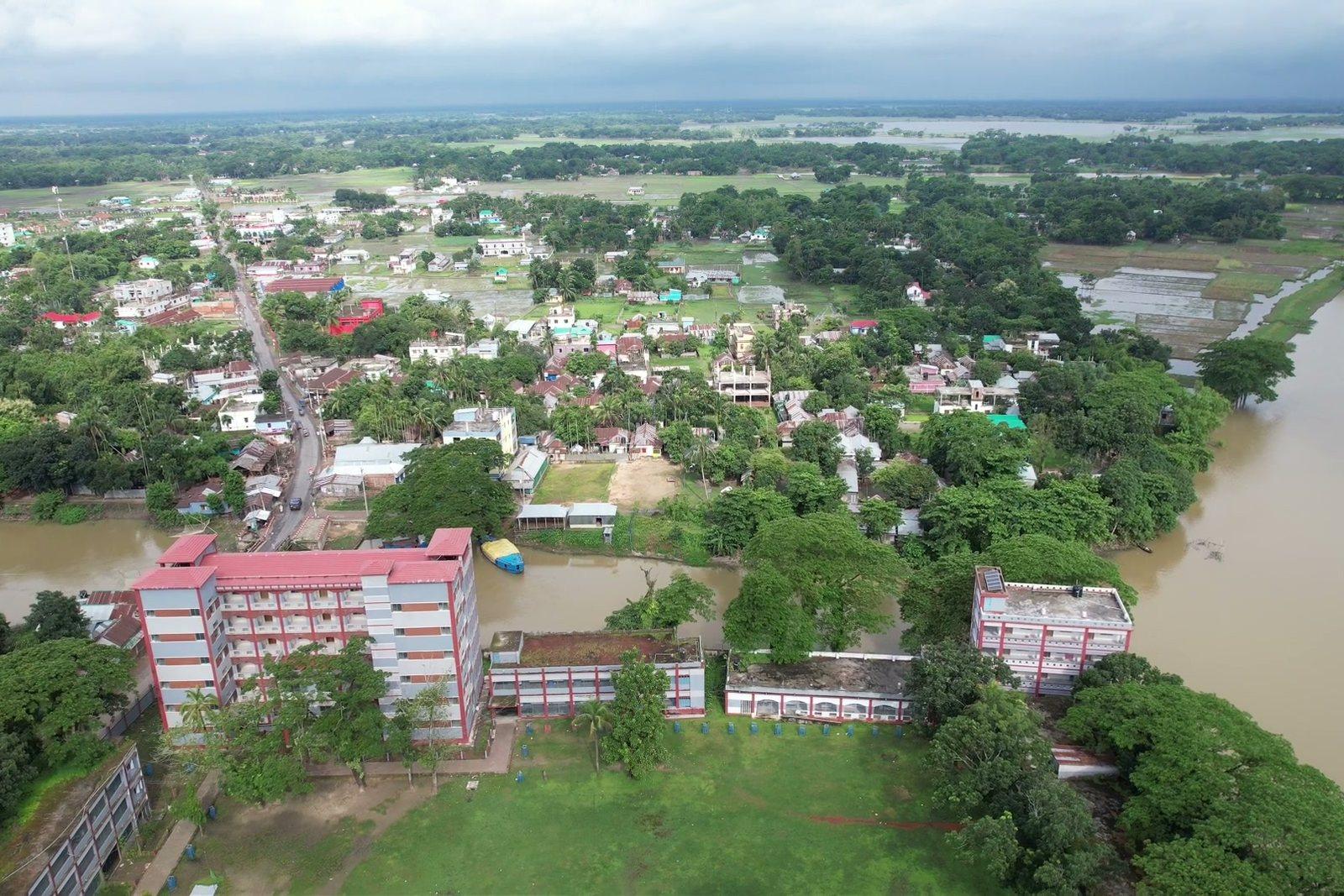
Rapid surveys after floods, landslides and collapses: a georeferenced map of the affected area available within hours.
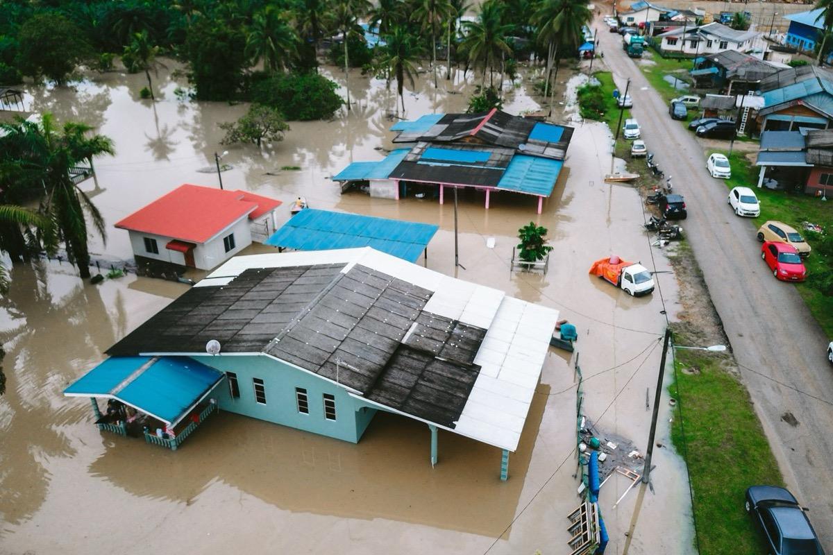
Georeferenced orthophoto produced with speed as the priority: the overview first, then detail and the terrain model.
A flooded settlement.
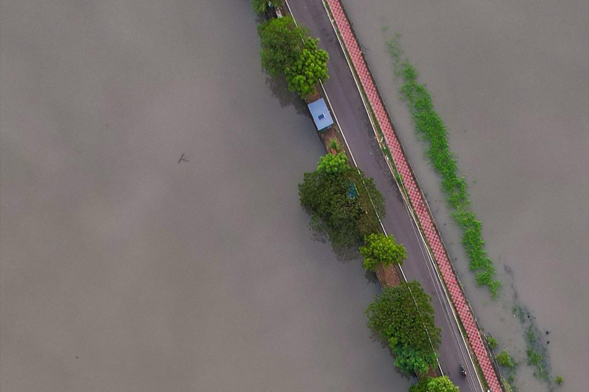
Cut roads, bridges, fords and access points identified on imagery current at the time of the flight.
An intact road embankment with the surrounding countryside flooded.
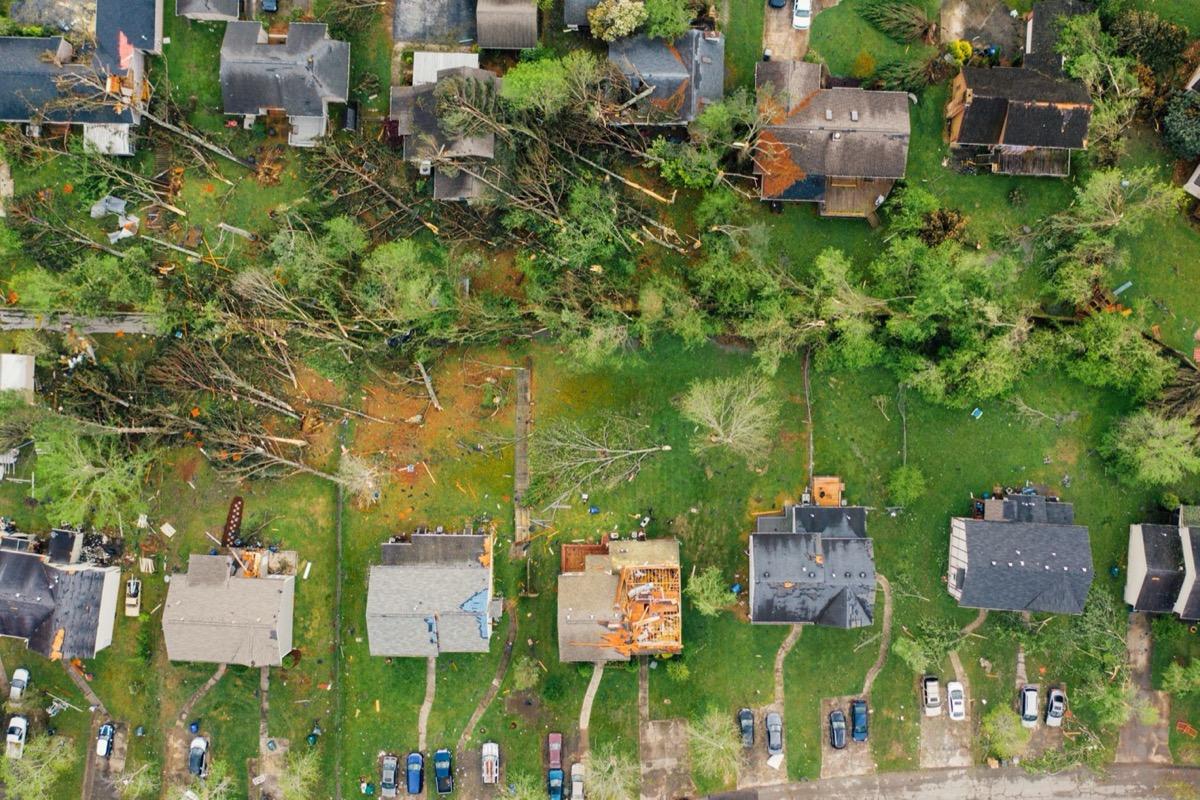
Stripped roofs, cracks and collapses documented from above, without entering the buildings.
Damaged roofs and fallen trees after a tornado.
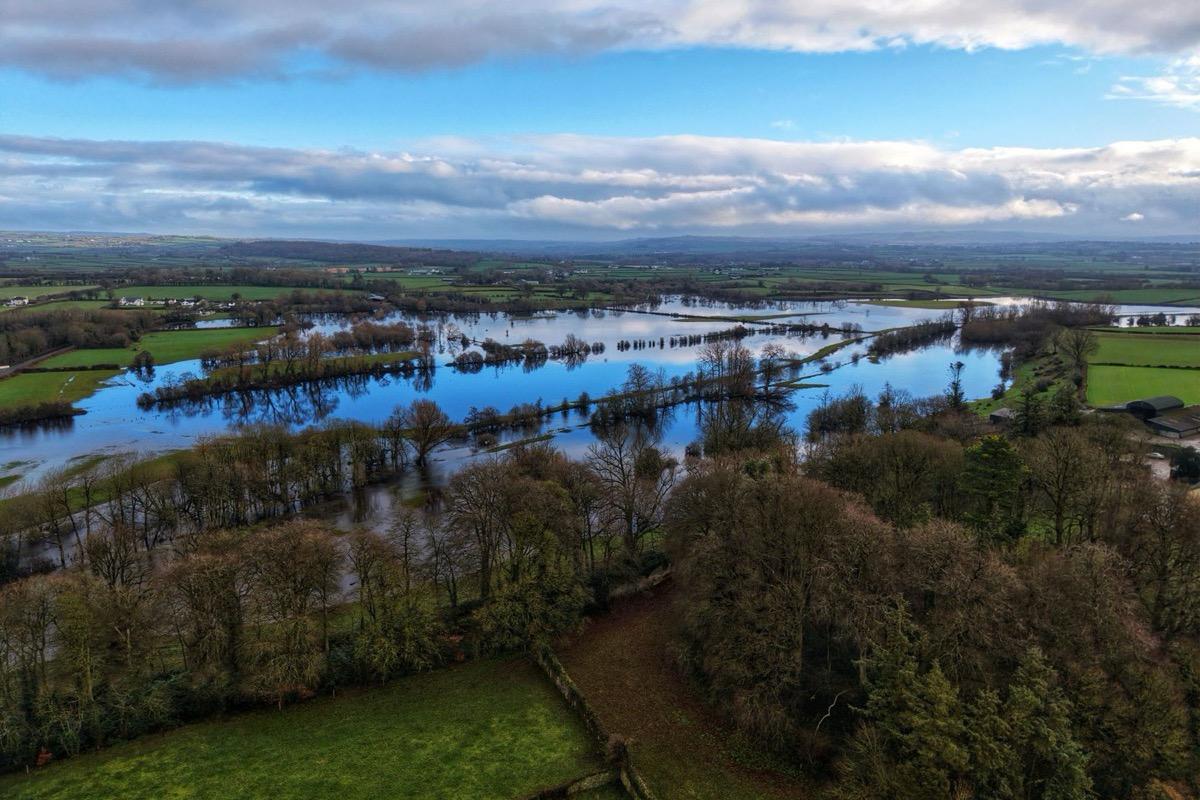
Where an earlier survey of the same area exists, the comparison is immediate and measurable: areas, volumes and elevations.
Flooded fields.
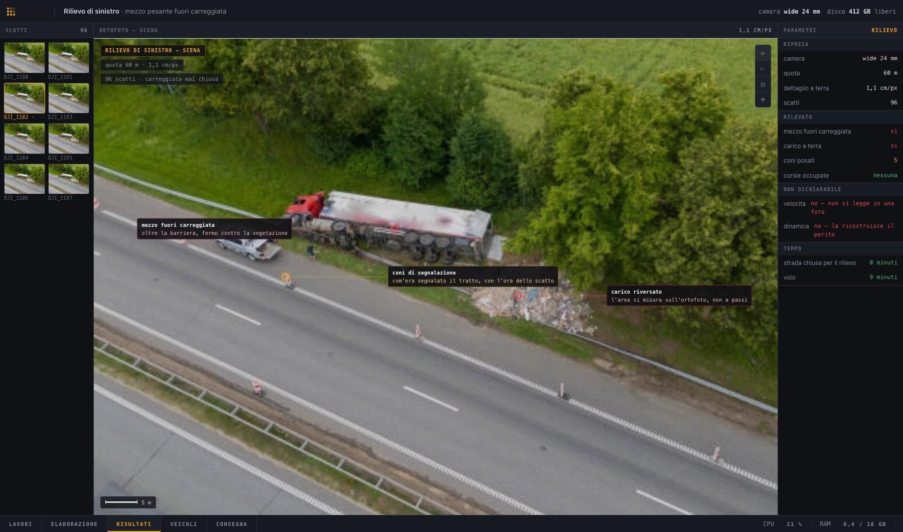
Example road crash survey
Vehicle off the carriageway, load on the ground and traffic cones recorded in a scaled file, without closing the carriageway. The data the survey cannot provide, such as speed and dynamics, are also indicated.
Example screen: the values shown do not come from a survey.
Limits of thermography. In warm air, high humidity, rain or snow thermal contrast drops sharply, and glazed surfaces reflect heat instead of showing what lies behind them. The altitude, tilt and speed given here come from the manufacturer's aerial search guide, which refers to a different aircraft: on our equipment they must be verified in the field, and the pixel count on the subject changes. Planning takes these limits into account, and conditions that make a flight ineffective are communicated before deployment.
Over areas under emergency operations the airspace may be reserved for rescue aircraft. We operate only in coordination with the organisation managing the emergency.