Sectors
One flight, fifteen ways to read it
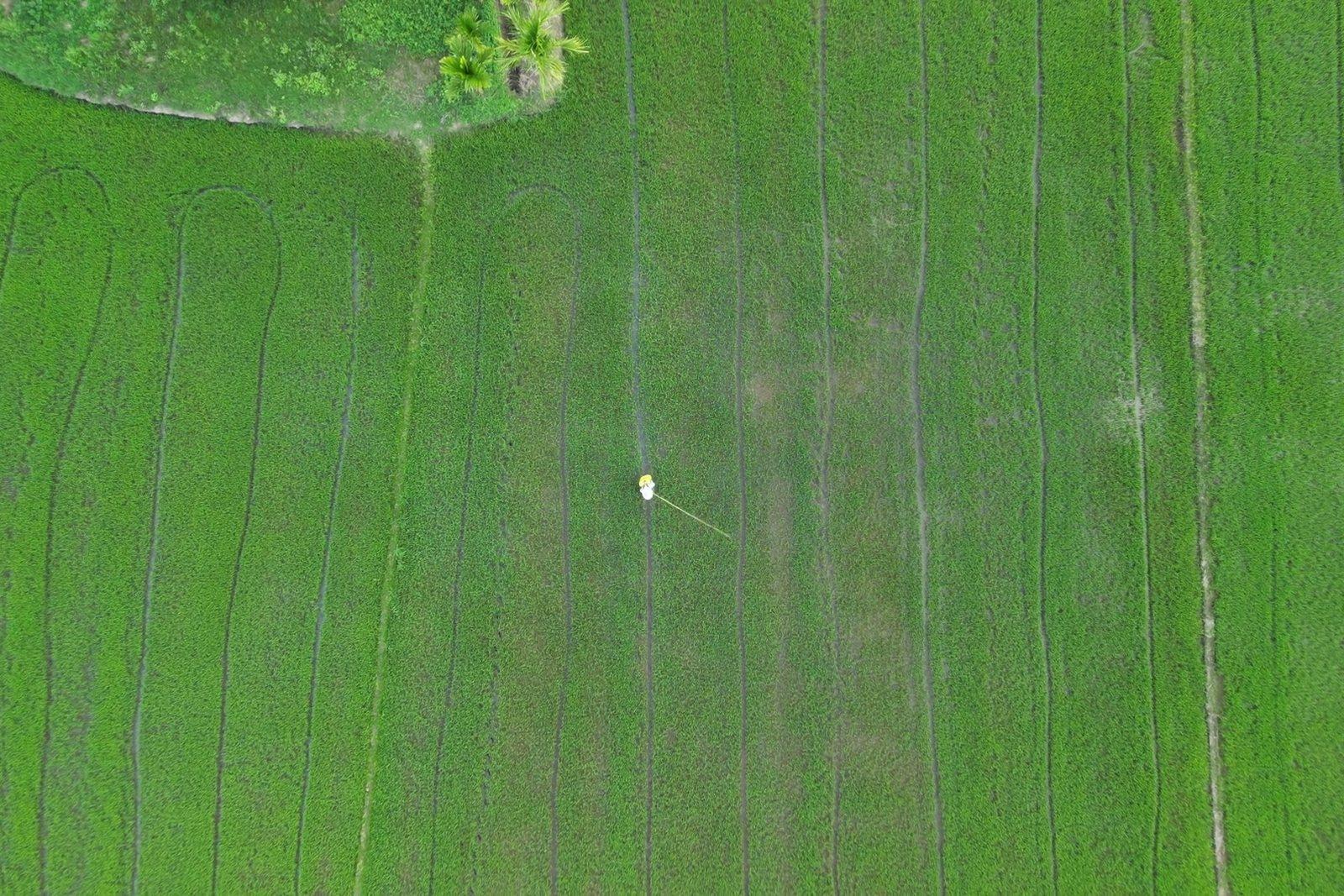
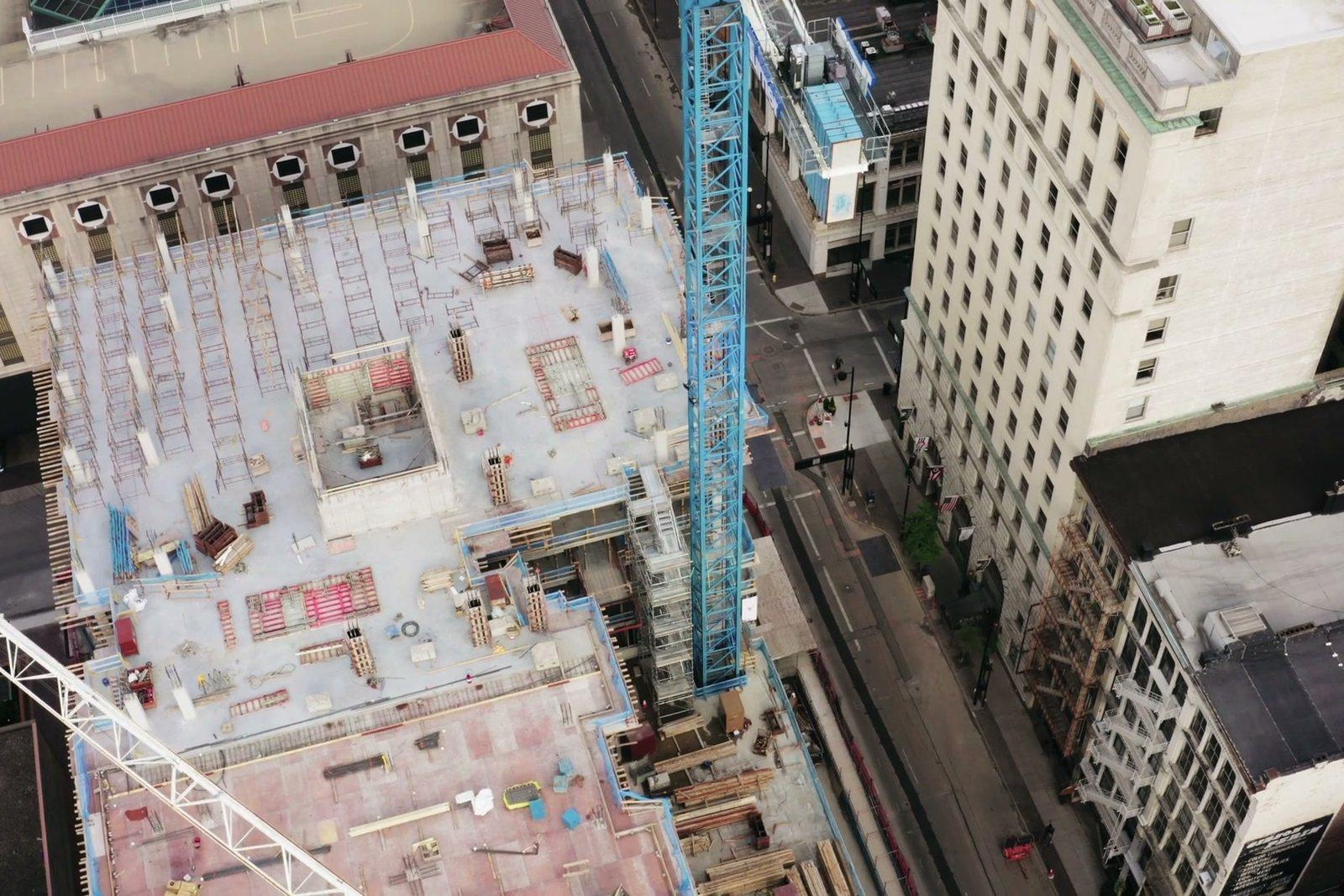
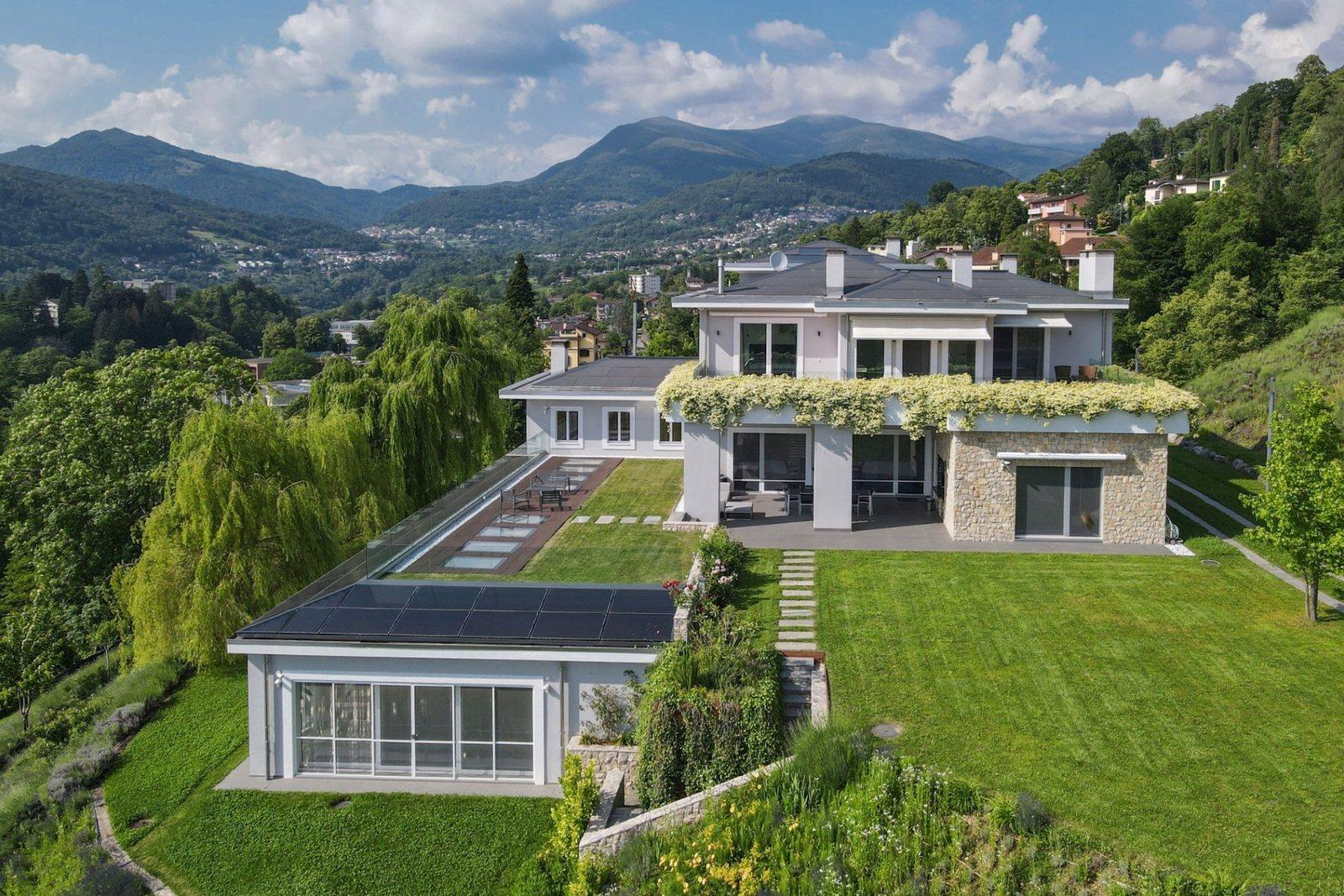
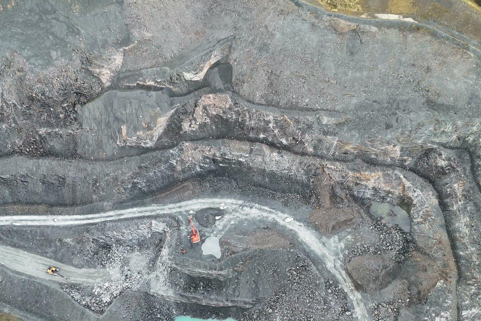
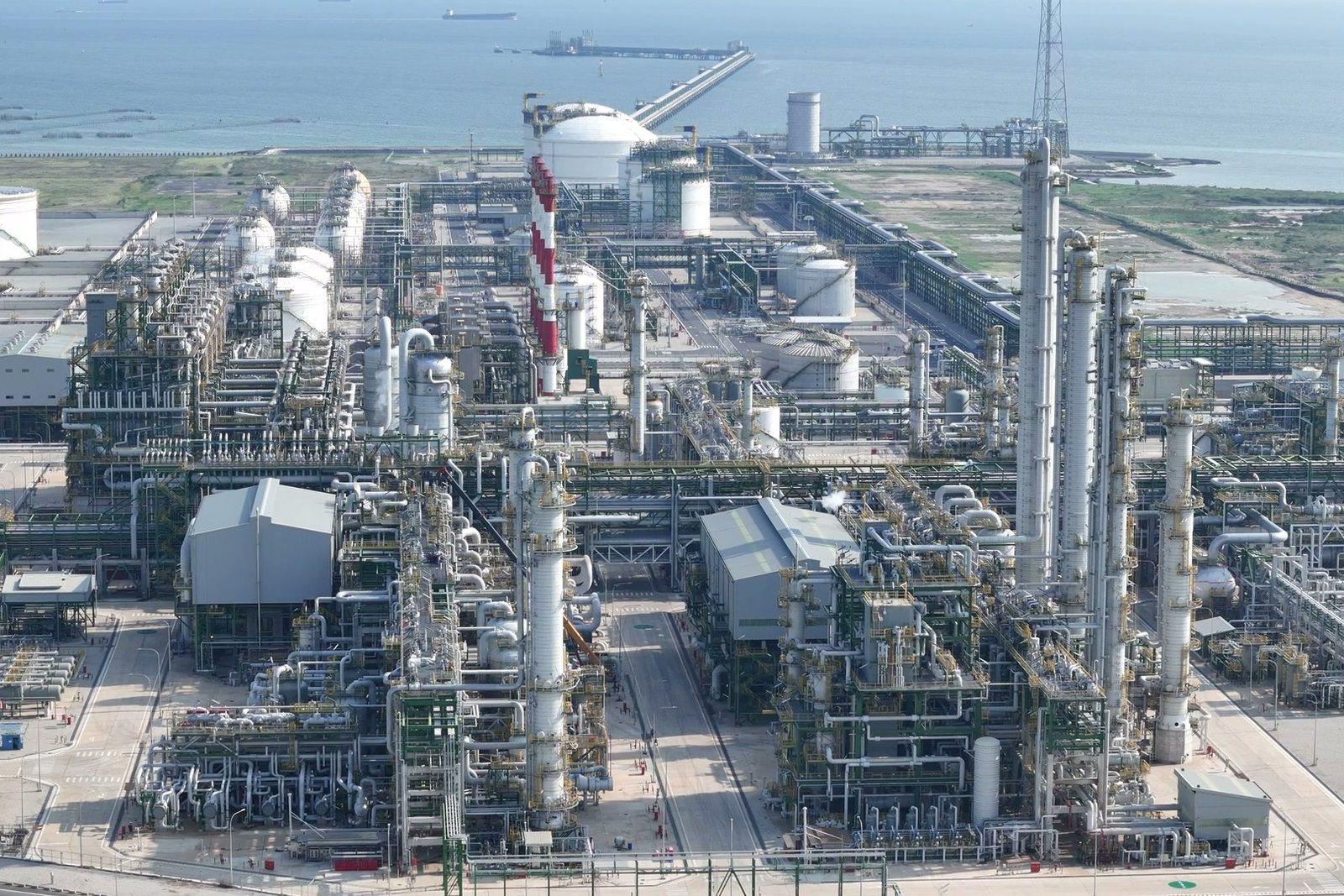
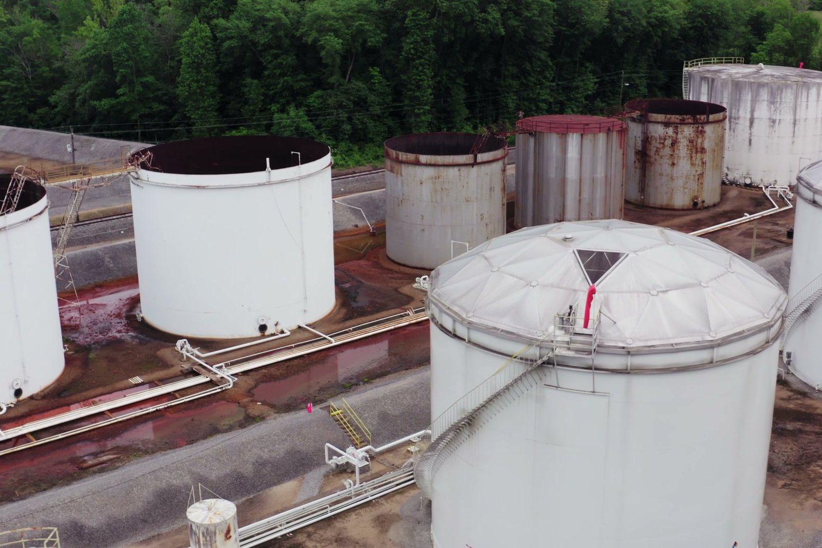
The flight is always the same: what changes is the specification that orders it, the format it must be delivered in and the professional who signs off the result. Fifteen trades, fifteen ways of reading the same image.
Services
What we take to the air
Six services. The flight is the same; what changes is how the route is planned — and that is what decides whether what we deliver holds up under scrutiny or is just a good-looking picture.

Processing examples
What a finished job looks like
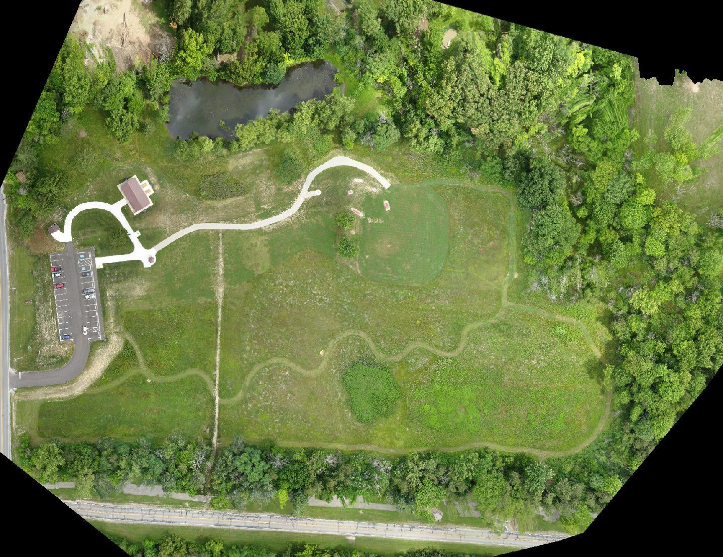
Three examples of delivery: each image is the finished output of a flight, not a set photo.
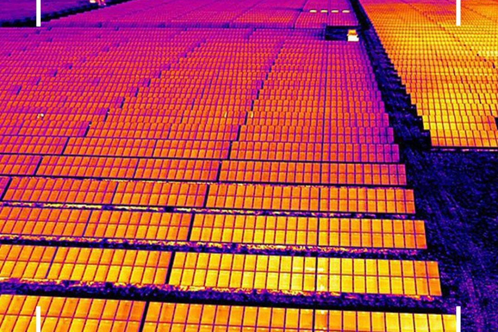
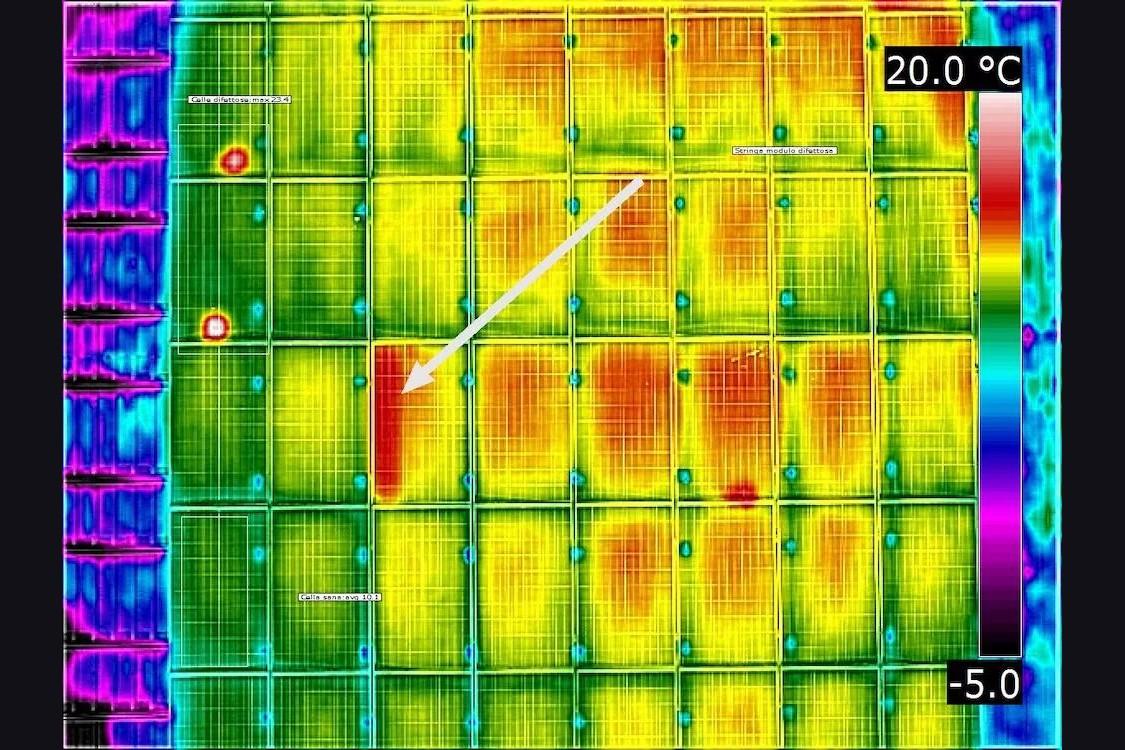
Thermography of a solar plant
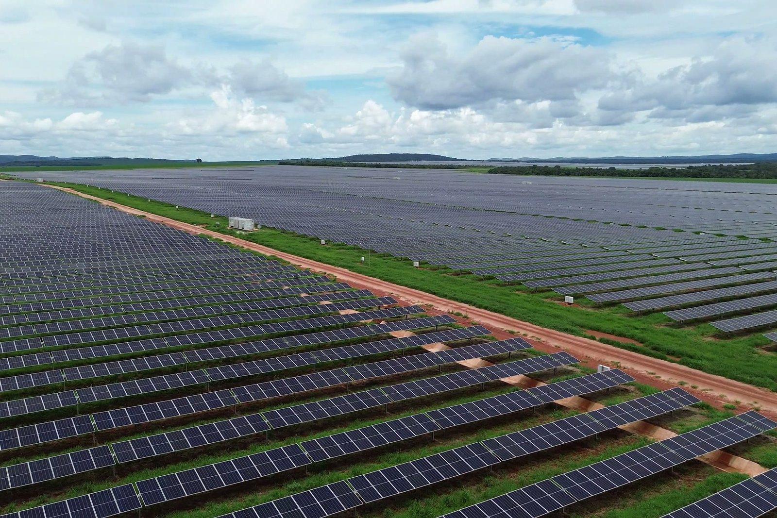
Dead cells stand out at a glance: every pixel carries a measured temperature.
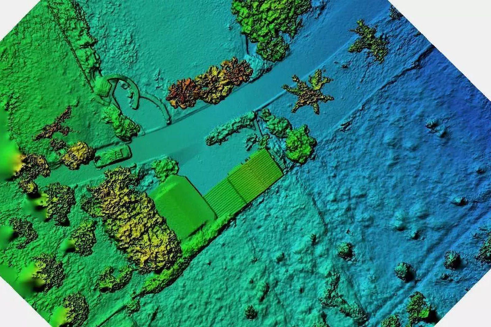
3D terrain model
The elevation of every point. Sections, slopes and cut-and-fill volumes come from here.
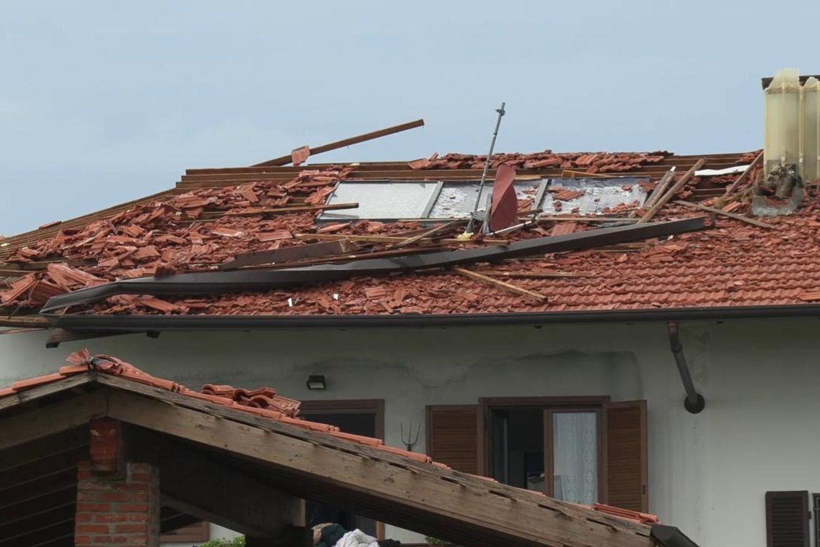
Roof inspection
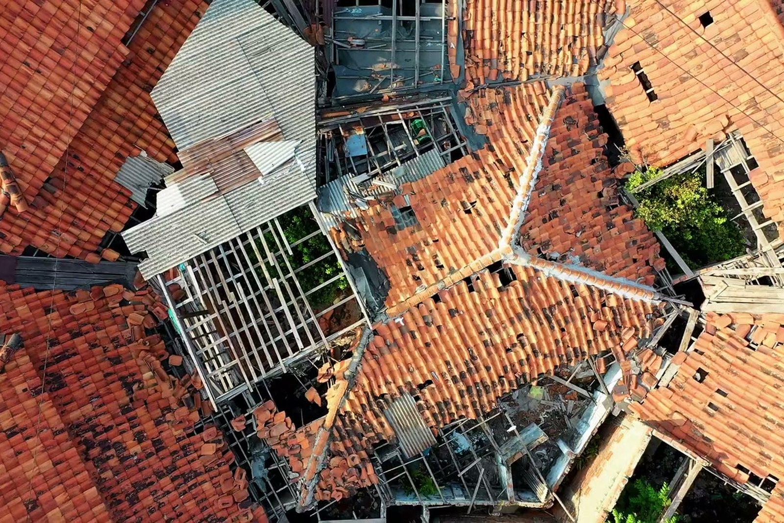
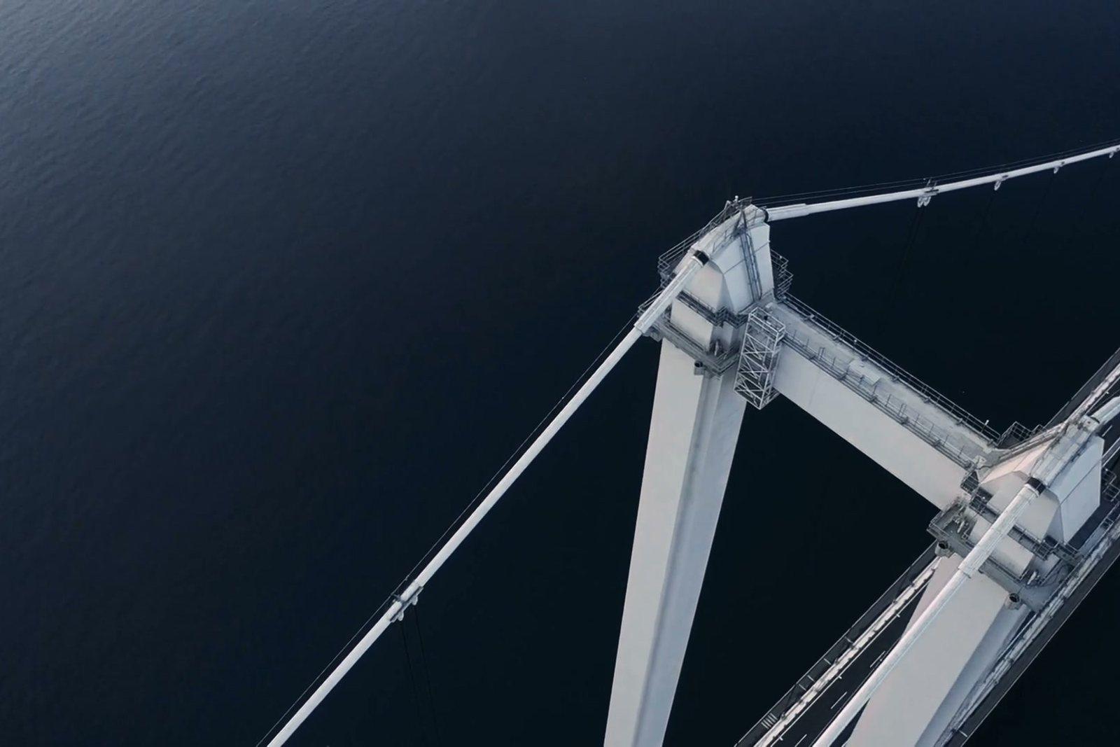
Lifted tiles and cracks documented from a safe distance, with no scaffolding.
Nadir — software developed by Pixel Air
We wrote the software that processes your data
Nadir takes the raw frames to orthophotos, models and temperature maps. It is not bought-in software resold: it exists because on two jobs that matter the standard toolchain left the problem on the table. Nothing is uploaded to third-party services, no subscription to foreign platforms: your project files stay on our machines and are delivered to you.
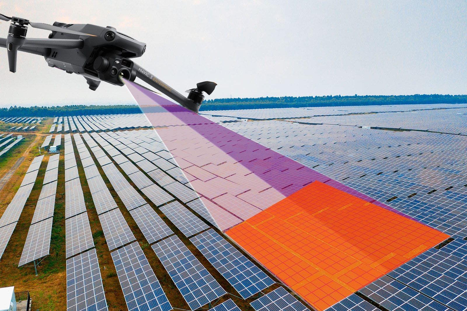
- Temperatures corrected for the distance of each individual frame. The manufacturer's tool works from a fixed 5-metre distance: at flight altitude it reads about 2.4 °C too high, always in the same direction. Nadir takes the distance from the altitude recorded on every frame.
- Vehicles removed once the job is finished, not masked photo by photo. Masking single images is not enough: if the detector misses a car in just two frames, it stays in the model. Nadir finds it on the orthophoto, rebuilds the ground beneath it and regenerates model and orthophoto.
- Every removal passes a human eye first: detected shapes are confirmed or discarded one by one, and only then applied.
- Flight check before processing — missing frames, altitudes, overlaps — and a delivery report stating how the data was obtained: parameters, conditions, limits.
Method
Four steps, always in the same order
Timing and cost are settled before anything takes off. And if a survey cannot be done the way it needs to be, we say so at the site visit — not once the job is delivered.
Start from the result
Not from how many photos: from what must be measured, seen or told. Altitude, detail and duration follow.
Flight planning
Route, altitude, overlap and speed computed. Airspace and restricted zones checked before every job.
Flight and on-site check
Quality report at the end: a missing shot is re-flown on the spot, not on another day.
Processing and delivery
Files in the formats you use, plus a report with the real survey parameters. Raw data stays yours.
How the work arrives
The files open in the software you already have
Orthophoto
Georeferenced GeoTIFF + JPG
QGIS, AutoCAD, ArcGIS
Terrain models
DSM and DTM as GeoTIFF
profiles, sections, volumes
Point cloud and 3D
LAS/LAZ, OBJ
CloudCompare, Recap, Blender
Thermal
Original R-JPEG + °C maps
analysis and reports
Video and stills
Up to 8K in ProRes RAW or CinemaDNG, 48 MP JPG
editing and print
Report
PDF with flight parameters
to attach to the file
Technical capabilities
Twelve capabilities that decide how the job comes out
The aircraft is chosen for the job, not the other way round: what matters is the sensor the result needs. A survey, a thermal scan and video are often captured in the same session.
Operational
Registered and insured operator
High-resolution imaging
Wide and telephoto optics: detail even from a safe distance.
Radiometric thermography
Images where every pixel carries a measured temperature, not a colour.
Precision satellite positioning
Real-time correction and post-processing data where accuracy matters.
Distance measurement
Rangefinder and target coordinates for inspections and checks.
Long flights, several sensors at once
Close to an hour of air per battery, six kilos of payload and three sensors on the same flight: a large area closes in one session instead of three.
Acquisition up to 8K
Full-frame sensor, 8K at 75 frames per second in RAW, 14 stops of dynamic range, dual native ISO and interchangeable lenses from 18 to 75 mm.
Multispectral reading
Sensors that read beyond the visible: this is where the vigour indices come from that divide a field into zones.
Field application
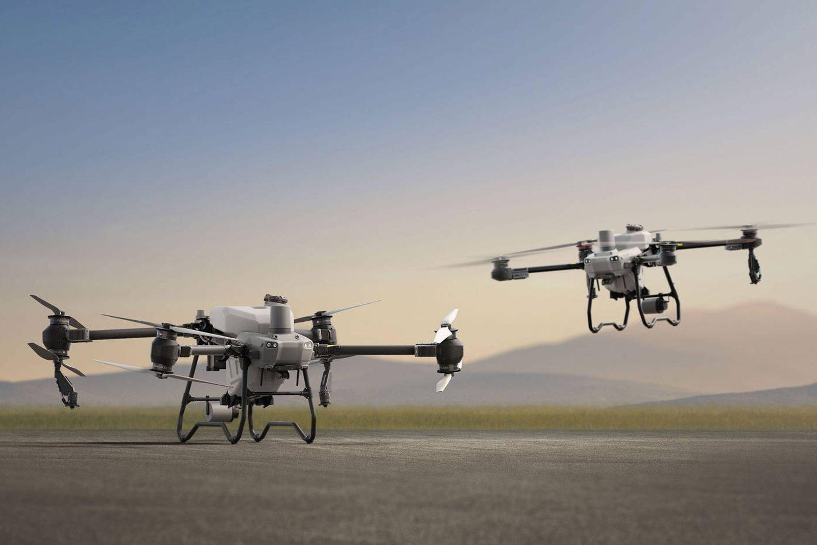
Tanks from 40 to 100 litres and a working width up to 13 metres, driven by the prescription map.
Centimetre-repeatable paths
A move is saved and re-flown identically, locked to satellite positioning: the same camera move take after take, or the same survey months later. It is what makes two dates comparable and shots from different days cut together.
Parachute and flight termination
Recovery and shutdown independent of flight control: impact energy drops from over a thousand joules to a few dozen. It is the technical condition for working above a controlled ground area in a populated environment.
Camera controls separate from flying
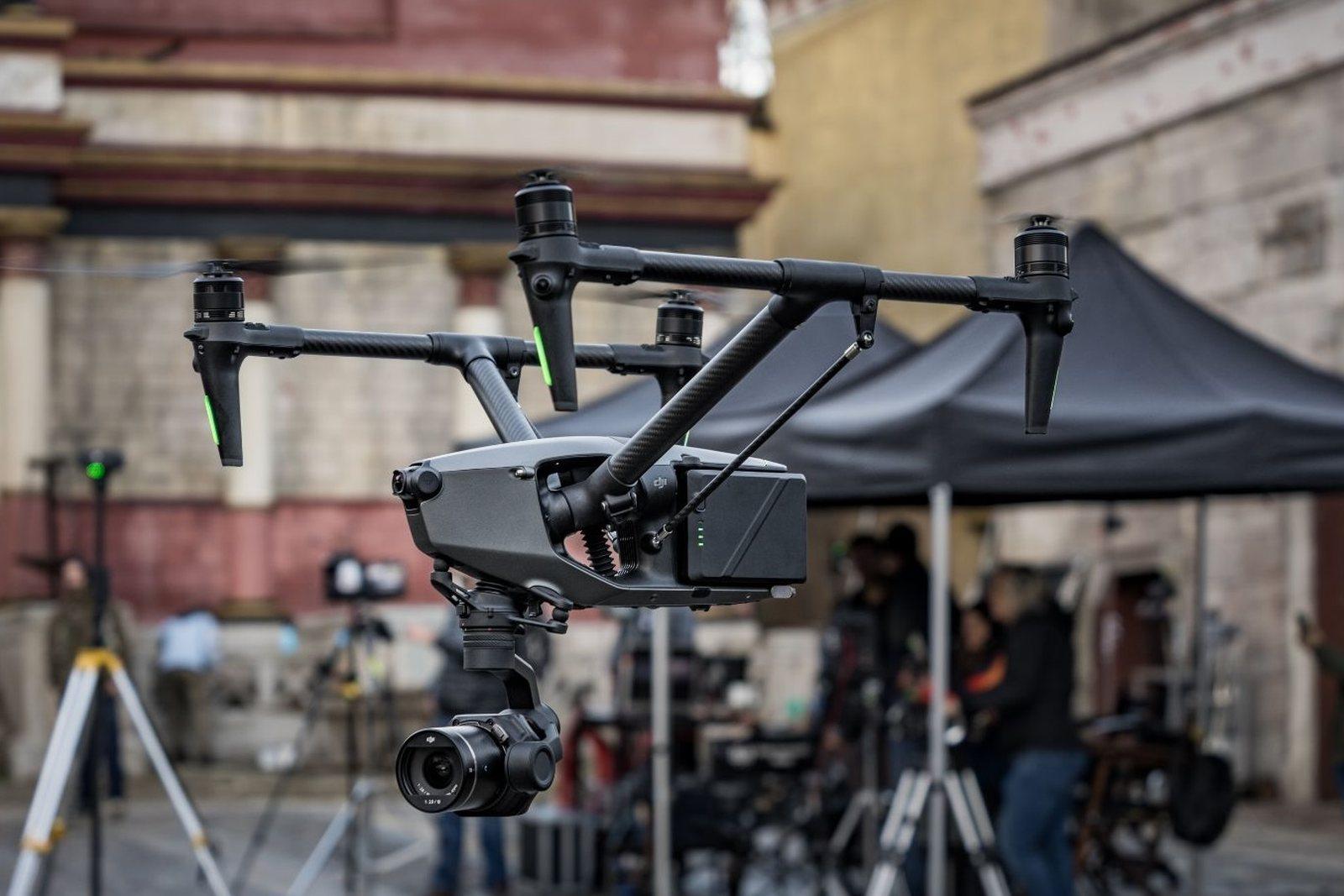
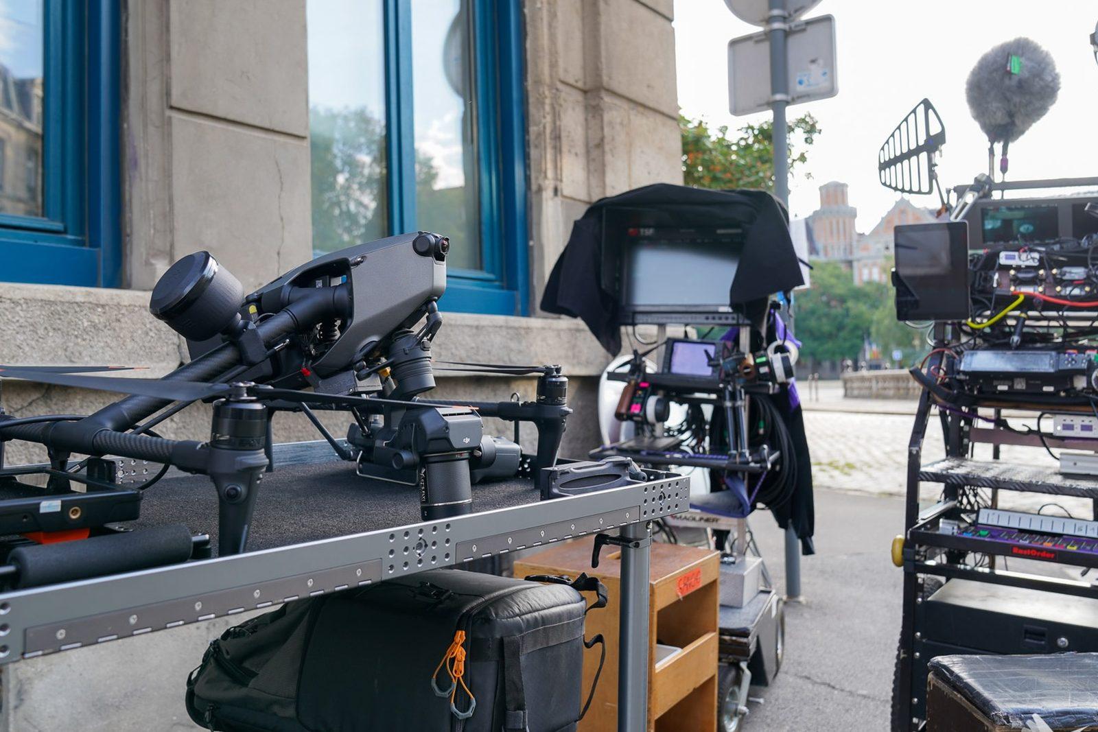
With dual controllers the person framing is not the person flying: the operator holds camera, gimbal and focus, and the crew sees the same image on their monitors. It is an air unit, not a drone with a pilot.
Flying after sunset
As the sun goes down the ground cools and thermal anomalies surface: that is the right window for roofs and plants, not a fallback. Near-infrared auxiliary light out to a hundred metres and a colour night mode to see where the eye cannot.
The studio
Pixel Air
Pixel Air is an aerial survey and imaging studio based in Vercelli, working across Piedmont and, on request, throughout Italy. It grew out of twenty years in technical services for live events: the same discipline, applied to data.
We work to order for technical studios, companies, public bodies, productions and private clients. Every delivery includes the requested files and the record of how they were obtained: parameters, conditions, limits.
Equipment is chosen for the job and renewed over time: what does not change is the method behind it.
- The site keeps working
- The survey happens in the air, in an hour, while work continues.
- No scaffolding or lifts
- Roofs and facades are inspected from a safe distance.
- The raw data is yours
- Delivered with the outputs: no lock-in, no subscription.
- Comparable over time
- The same route is re-flown months later: two dates, one viewpoint.
What we declare, and what we don't
- Registered UAS operator with third-party liability insurance.
- Every aircraft carries a marked European class — C0 to C6 — which decides how close to people it may fly. Where needed, a certified kit with parachute and flight termination raises the class and opens up work above a controlled ground area. The class is chosen for the job, and checked before the quote, not after.
- Open-category operations: zones and altitude limits checked on the national portal before every flight. Beyond those limits a specific-category authorisation is required, and its lead time has to be budgeted for.
- Drone spraying: since 18 December 2025 Italian law allows it by derogation, experimentally, for three years — but the decree setting out crops, products and methods has not been issued. Until it is, treatment stays a service that is coming, not one on offer.
- Survey accuracy is measured on control points: when the job requires it, it is measured and stated in the report.
- No figure is published without a measurement behind it.