
Skip to content

Pixel Air proprietary software

Software developed by Pixel Air, from flight to delivery

Pixel Air operates with software developed in-house. Centro operativo plans and follows every flight live; Landnix turns imagery into maps, models and temperatures. Both are designed around our operating procedures and remain under our control: client data does not pass through third-party platforms.

Plans and licences
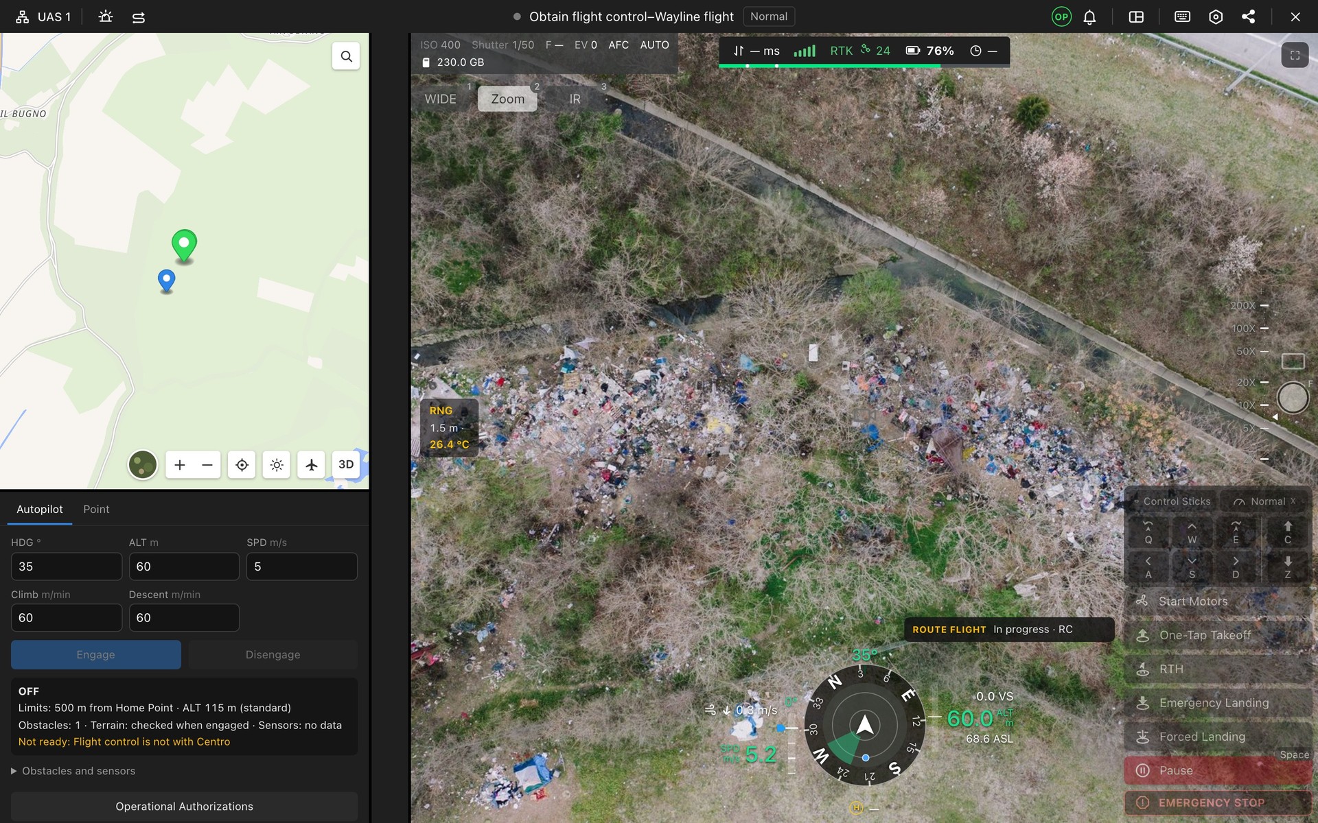
In-flight cockpit: video, telemetry, autopilot

Centro operativo

Mission planning and control, from the browser

Centro operativo is the software we use to plan, fly and document every mission: routes computed for the required output, live video that can be shared with the client, thermal camera, recognition of people, vehicles and animals, airspace and weather in a single interface, shared by the pilot in the field and the coordinator at base, even kilometres apart.

  • Routes for surveys, inspections and patrols, with 3D view
  • Live video that can be shared with the client
  • Thermal camera with temperature measurement and animal detection
  • Recognition of people, vehicles, colours and number plates
  • Flight zones, air traffic and weather in real time
  • Documentation of every mission, from risk assessment to logbook
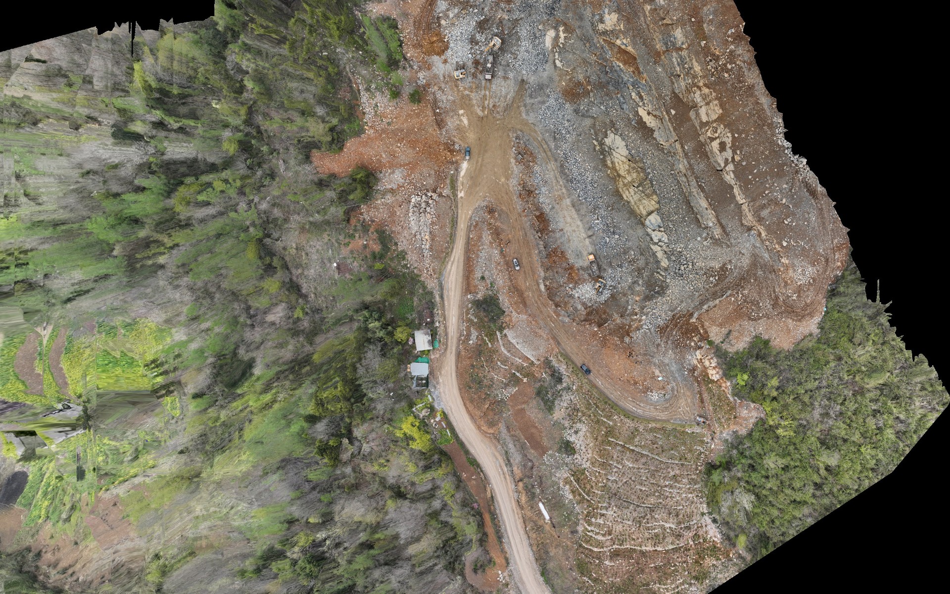
Orthophoto of a quarry processed with Landnix

Landnix

Photogrammetry and thermography from the browser

Landnix turns drone photos into orthophotos, terrain models, point clouds, 3D models and temperature maps. It runs in the browser, on Windows and Mac, with nothing to install: photos are uploaded from the computer and processed on our servers in Europe. It checks the photos before upload, corrects thermal measurements image by image and produces the delivery report.

  • In the browser, on Windows and Mac
  • Georeferenced orthophotos, DSM and DTM
  • Point clouds and 3D models
  • Temperature in °C for every image and the whole flight
  • Photo checks before upload
  • Delivery report with measured accuracy

Agronix

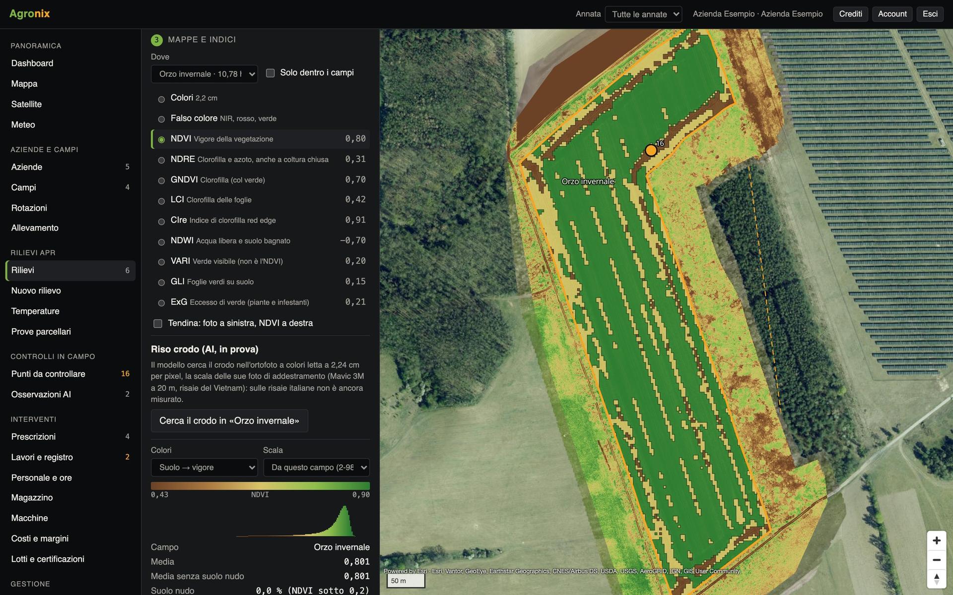
From tractor to drone, the whole farm in a single app.

Agronix turns drone surveys and satellite imagery into vigour maps, variable-rate prescriptions and spray records. It runs in the browser, on computer, tablet and phone.

PV design

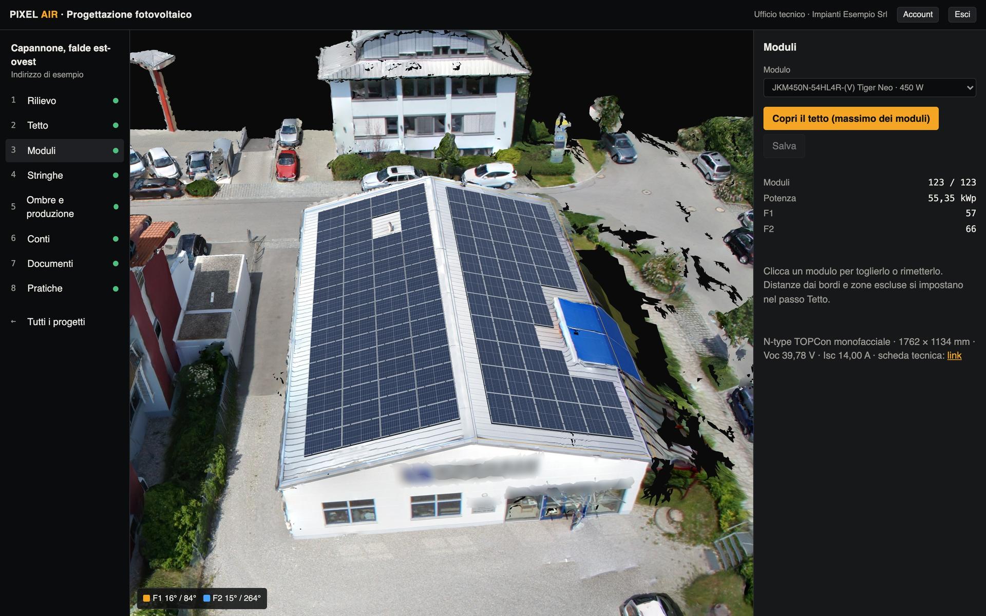
From the drone survey to the customer proposal, in the browser

Two programs for installers: system design on the 3D model of the roof and the single-line electrical diagram. In the browser, on Mac and Windows, with nothing to install.

Drone certificate

A1-A3

Open category

October 2026 edition

Drone certificate

A2

Open category

October 2026 edition

Drone certificate

STS

STS-01 and STS-02

October 2026 edition

Certificate

Drone certificate manuals

Theory updated to October 2026, questions with sourced explanations and an exam simulator that follows the real exam rules. Questions are written by Pixel Air: they are not those of the official exam.

Pixel Air software: available soon

Centro operativo and the PV software.