Skip to content
← All sectors

Land and building control

Detection of illegal dumps and fly-tipping, unauthorised building work and unlawful occupation of public and state-owned land, with georeferenced reports for technical offices and local police.

Illegal dumps, fly-tipping, unauthorised buildings and occupation of public areas are often hard to find from the ground: they lie in inner, fenced or rarely visited areas. An aerial survey covers the whole municipal territory in a few flights and, repeated on the same route, shows what has changed between two dates: a new waste heap, an extended building, a fence moved onto public land. Every finding is delivered with its position, date and measurements to the office that has to check it.

Reference figures

4.2
unauthorised buildings per 100 authorised in Piedmont and Aosta Valley; 15.1 in Italy (ISTAT, 2022 data)
€18,000
maximum fine for dumping non-hazardous waste (art. 255, Legislative Decree 152/2006)
10 m
minimum distance from the foot of embankments for buildings and excavations, absent local rules (Royal Decree 523/1904)

Activities

Illegal dumps

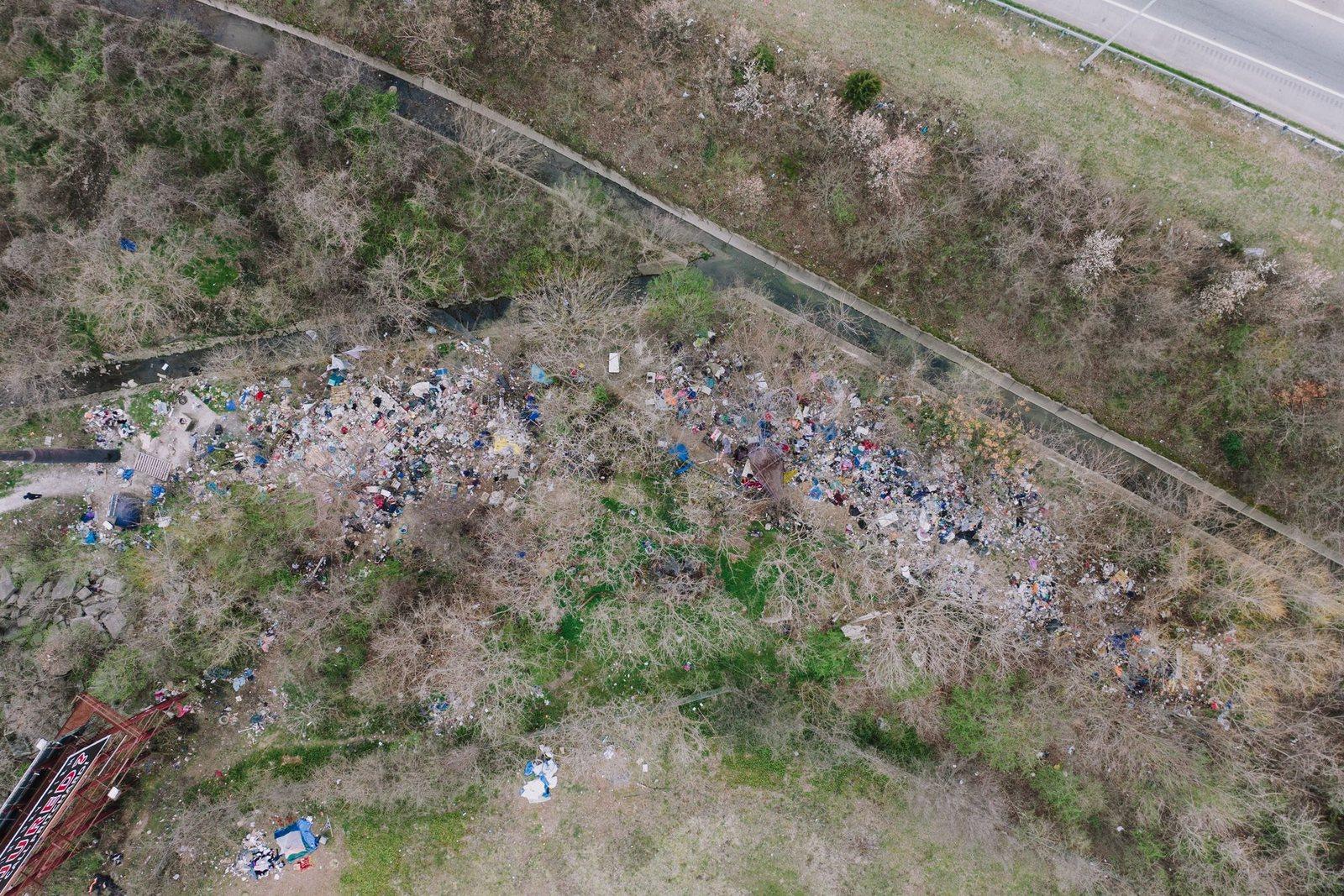
Systematic search of high-risk areas: roadsides, disused quarries, riverbanks, woodland and farmland. For each site we measure the area and volume of the heaps and record access routes and vehicle tracks; the thermal camera detects fires in progress.

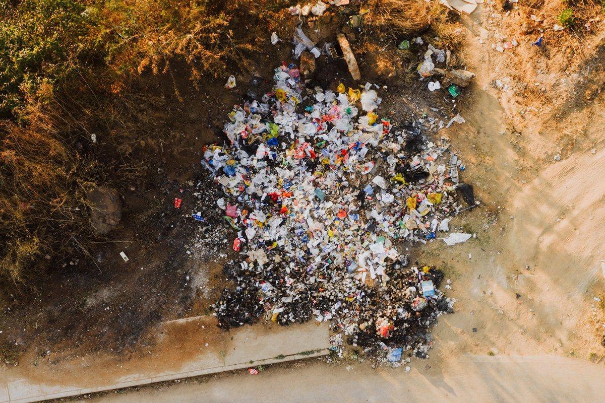
A heap of dumped waste next to a dirt track.

Urban waste and collection points

Recurring dumping next to bins, recycling points and along suburban roads, mapped by zone and date and checked again on every flight: the basis for scheduling clean-ups and inspections.

Kerbside containers for separate waste collection.

New buildings and extensions

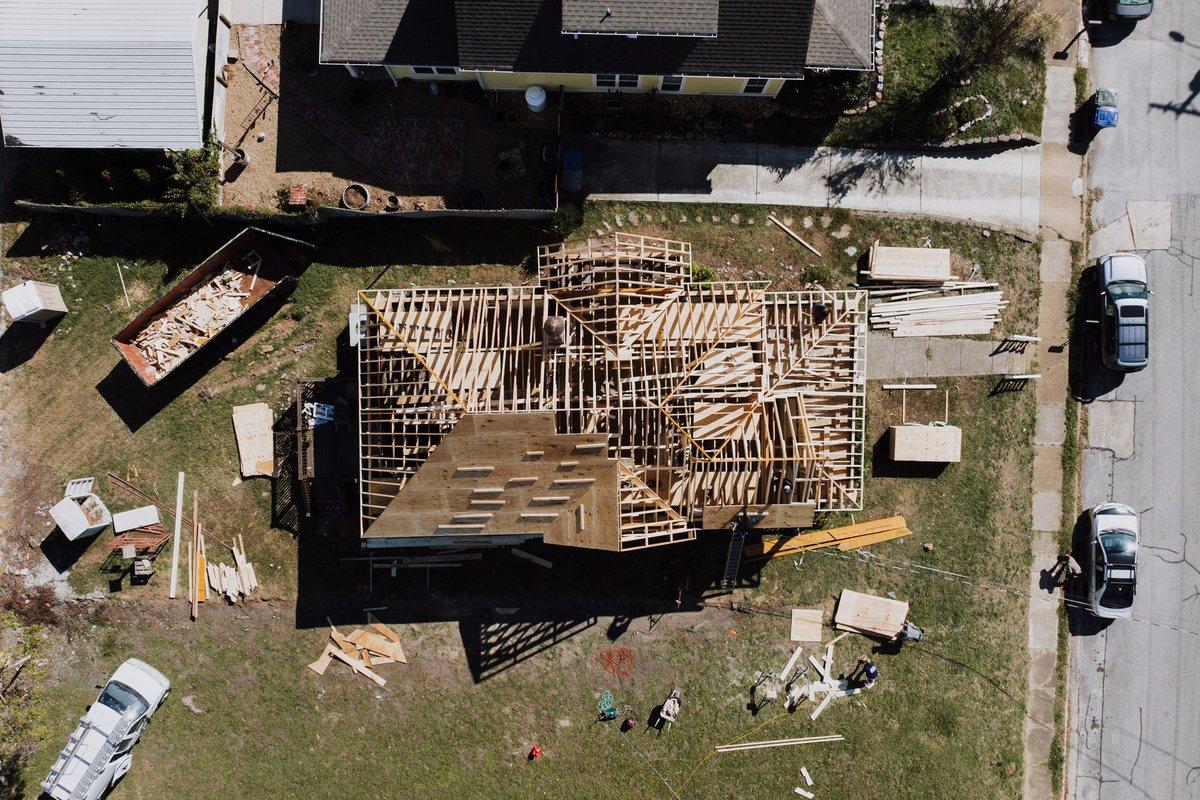
Comparing orthophotos and 3D models from different dates reveals new buildings, extensions, canopies and swimming pools. Areas, heights and volumes are measured on the model.

A building under construction seen from above.

Comparison with the cadastral map

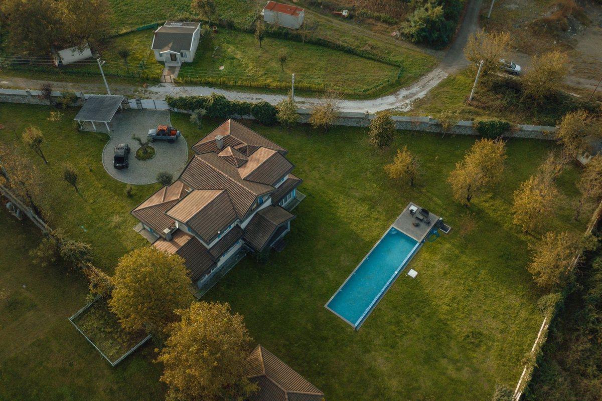
The orthophoto is overlaid on the cadastral map and the zoning plan: buildings and outbuildings missing from the map are reported with position and measurements. Checking them against building permits remains with the technical office.

A villa with a pool in farmland.

Occupation of public land

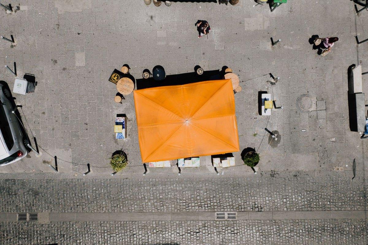
Outdoor seating, stalls, storage, scaffolding and fences on streets and squares: the occupied area is measured on the orthophoto, with the survey date, and compared with the permitted one.

Parasol, tables and planters on a paved street, seen from above.

State-owned riverbanks and shores

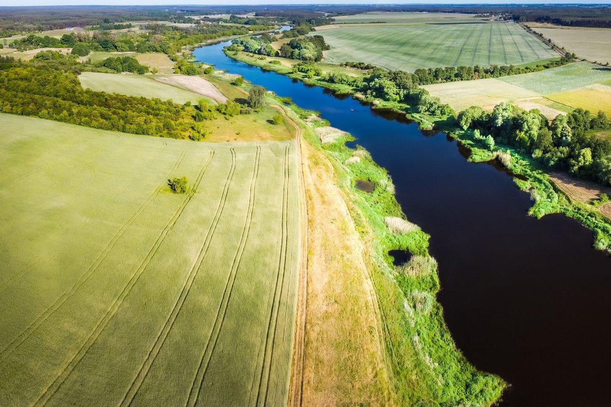
Crops, fences, buildings and storage inside the buffer strips of rivers, canals and lakes and on state-owned land, with the distance from the foot of the embankment measured on the terrain model.

A cultivated field reaching the grass strip along a river bank.

Deliverables

  • Dated, georeferenced orthophoto of the territory (GeoTIFF and JPG)
  • Map of findings with coordinates, date, time and photographs (shapefile, KML or GeoPackage)
  • Comparison between two dates over the same area, with changes outlined
  • Perimeters, areas and volumes to overlay on the cadastre and zoning plan in the authority's GIS
  • Technical sheet for each finding and report with date, time and flight parameters

Technical notes

Legal framework. Supervision of building activity lies with the municipality (art. 27, Presidential Decree 380/2001). For abandoned waste, the mayor orders removal and restoration based on the findings of the bodies in charge of inspections (art. 192, Legislative Decree 152/2006); since 2025, dumping non-hazardous waste has been punishable by a fine of €1,500 to €18,000 and, when a vehicle is used, by a four-to-six-month driving licence suspension (art. 255, as amended by Decree-Law 116/2025). For the 200 illegal landfills in case C-196/13, the Court of Justice of the European Union fined Italy €40 million in 2014, plus €42.8 million for each six-month period of delay. The survey provides the data: inspections, notices and orders remain the responsibility of the municipal offices and the police. For any personal data captured during the flight, the municipality is the data controller and Pixel Air acts as processor (art. 28, Regulation (EU) 2016/679).
Free site visit and quote

Let's talk about your project.