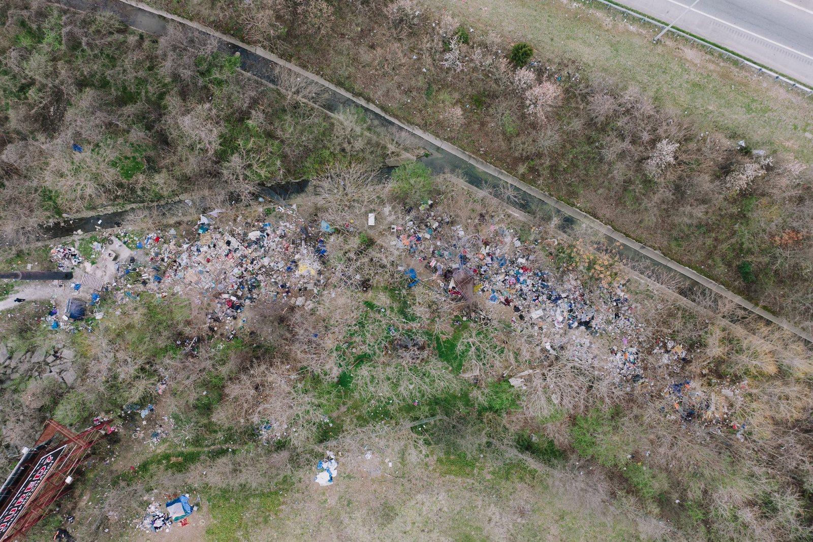
Land and building control
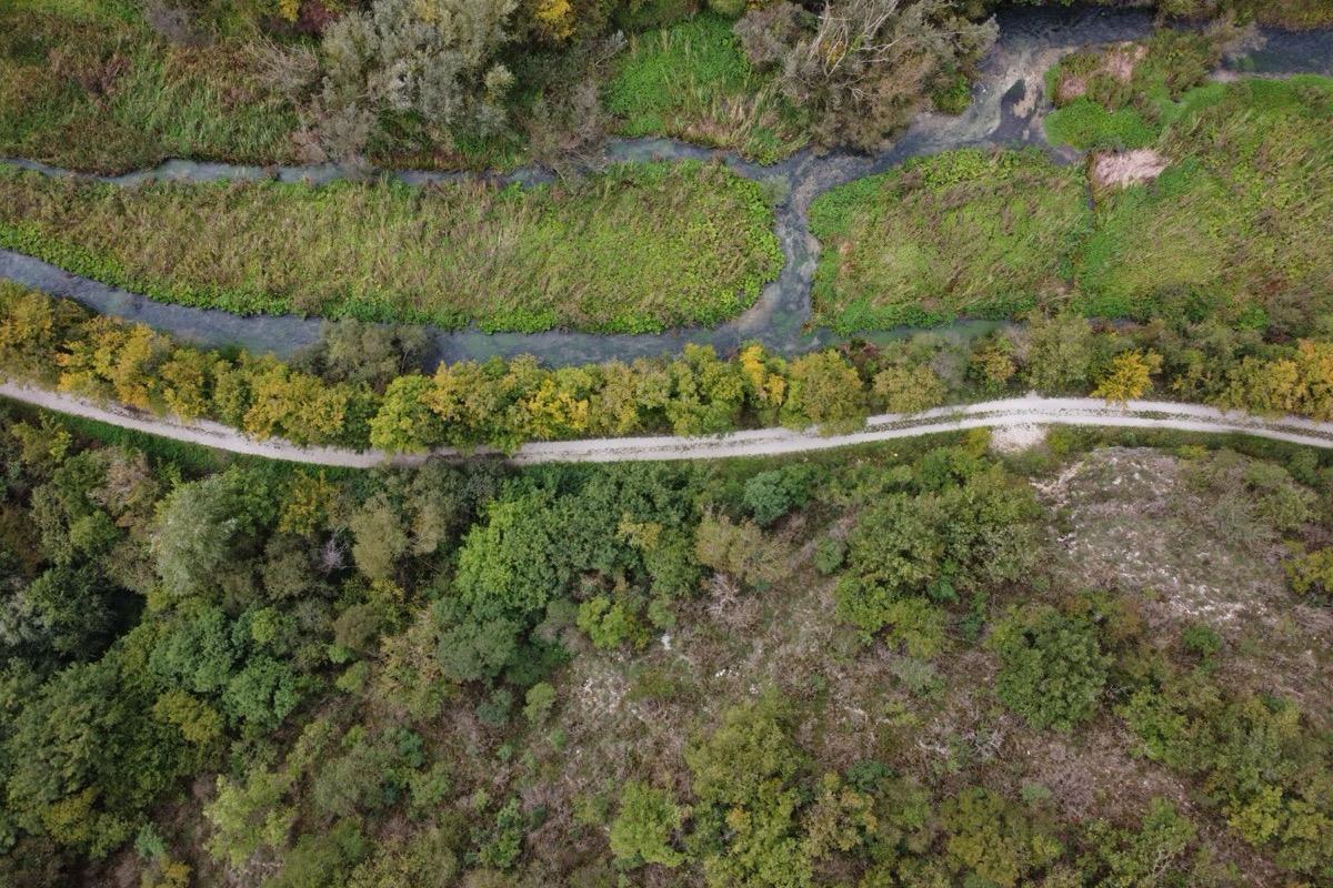
Detection of illegal dumps and fly-tipping, unauthorised building work and unlawful occupation of public and state-owned land, with georeferenced reports for technical offices and local police.
Includes
Services
Seven services, from land and building control to aerial filming. Every service starts from flight planning based on the required result.
Each service has its own requirements for accuracy, format and documentation. Every page describes the activities, the sectors served, the flight parameters and the deliverables.
Detection of illegal dumps and fly-tipping, unauthorised building work and unlawful occupation of public and state-owned land, with georeferenced reports for technical offices and local police.
Includes
Night-time counts with thermal cameras, searches for fawns before mowing, monitoring of coypu and rats along canals, embankments and farms.
DetailsGeoreferenced orthophotos, digital terrain models, point clouds and volume calculations. Flights are planned around the resolution and accuracy the project requires.
Includes
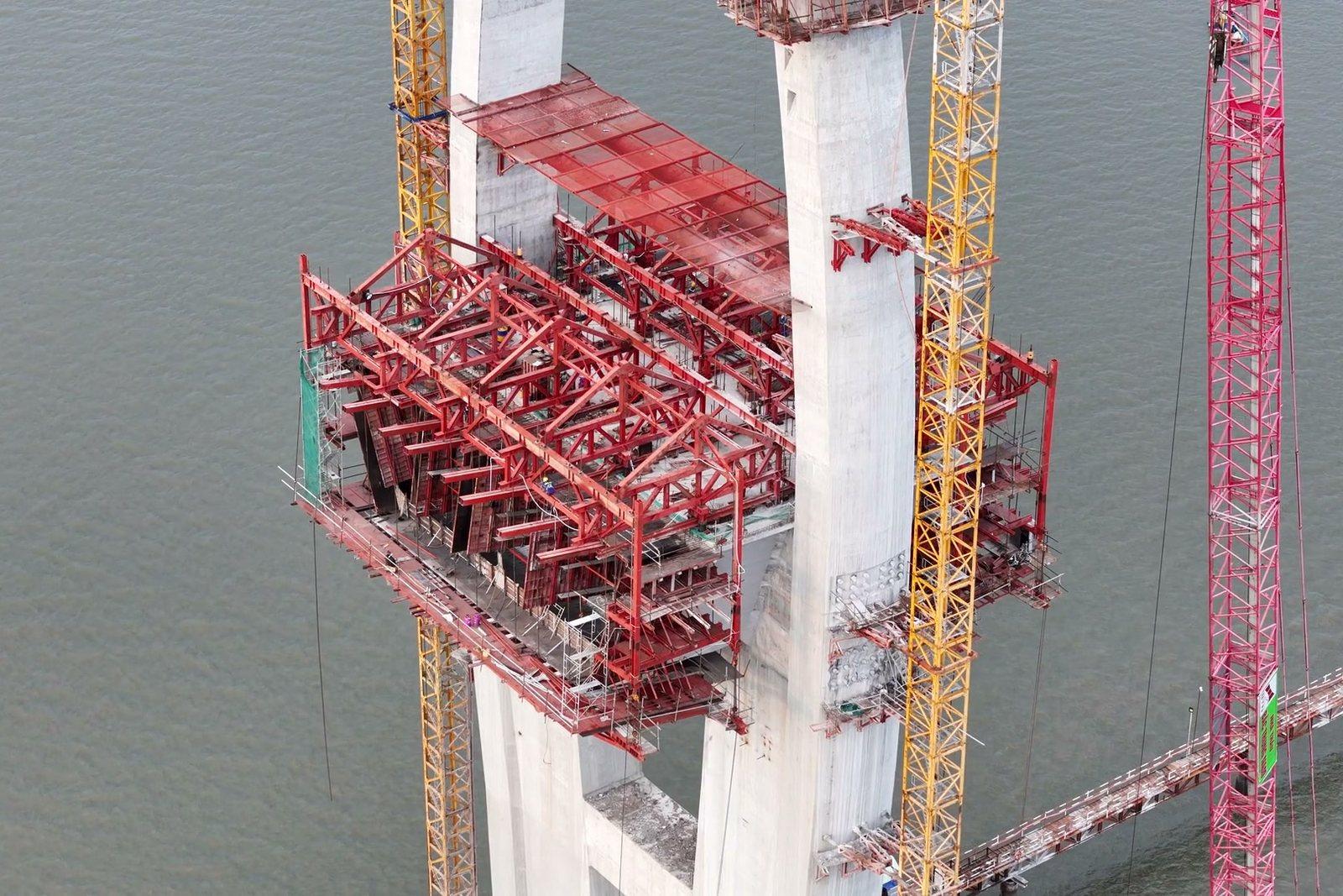
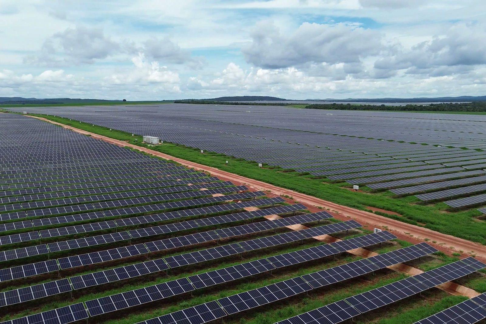
Radiometric thermography and visual inspections by drone of solar plants, roofs, industrial buildings, plants, bridges and lines: heat loss, water ingress and anomalies identified without scaffolding or aerial platforms.
Includes
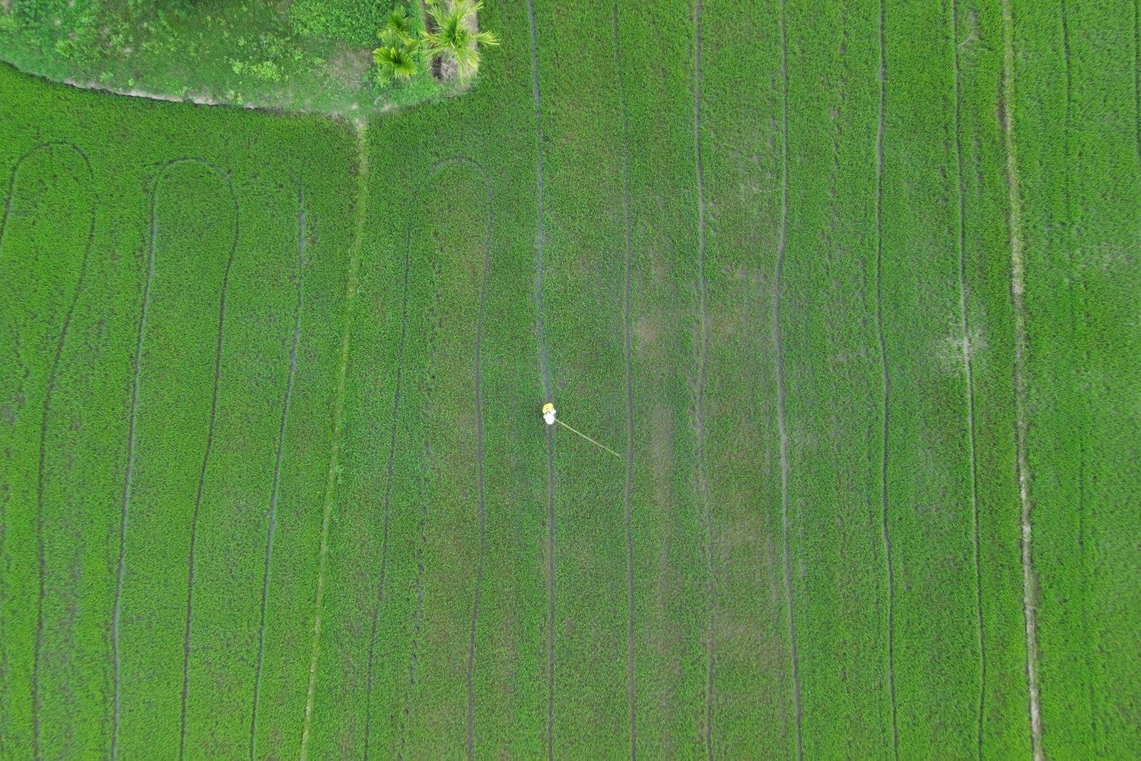
Aerial surveys of fields and rice paddies: orthophotos, vigour maps and thermal maps to locate gaps, waterlogging, lodging and damage, with areas measured in hectares.
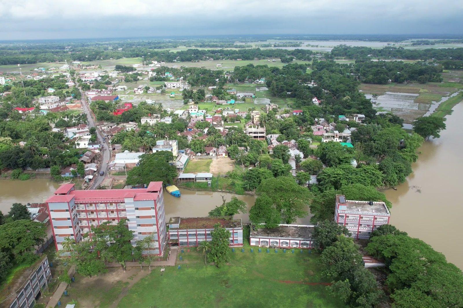
DetailsAerial support for missing-person searches, day and night, and rapid surveys after floods, landslides and collapses, with a georeferenced map of the affected area available within hours.
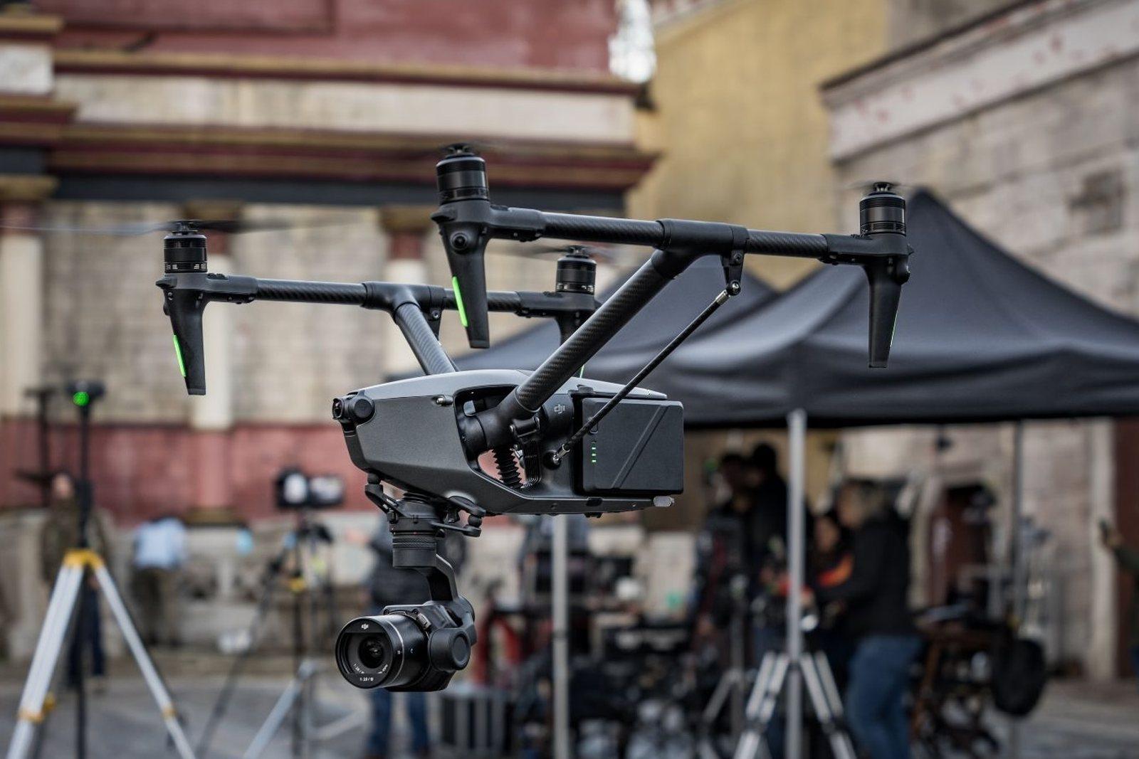
DetailsAerial filming for film and television productions, commercials, corporate video and events, with camera moves defined at the recce.
Details