← All services
Aerial thermography
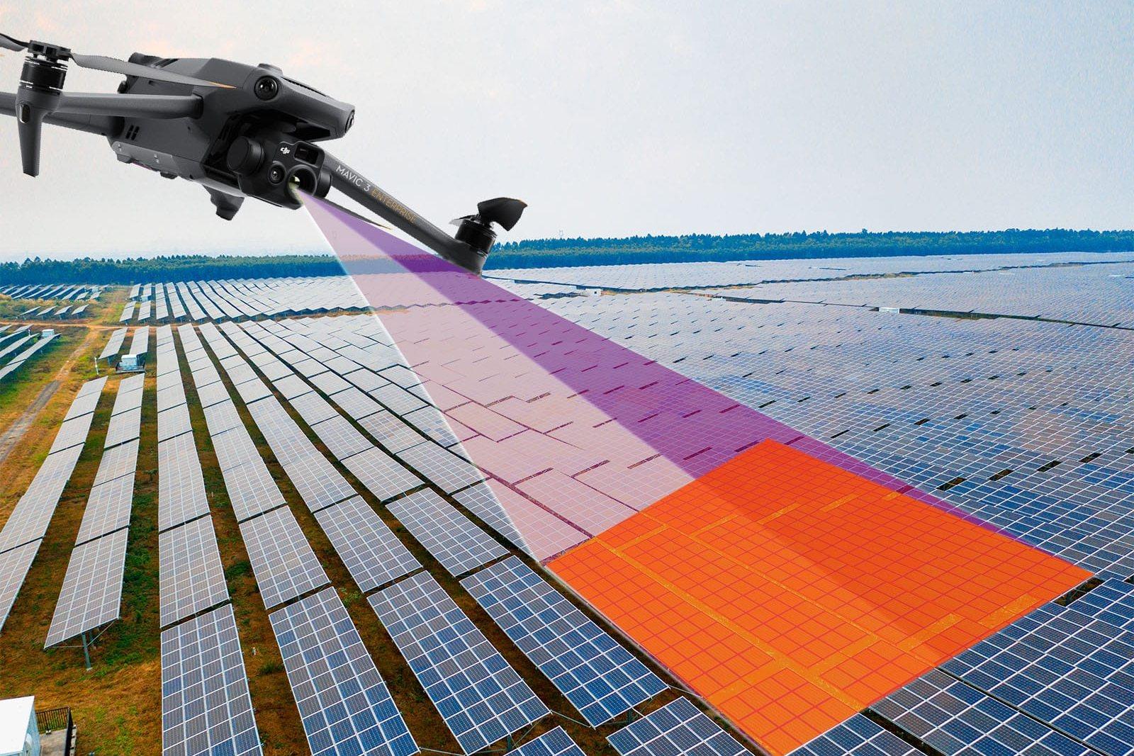
Radiometric imaging from the drone: every pixel is a temperature, not a colour. Roofs, warehouses, solar plants, heat loss and water ingress.
Request a quoteWho it's for
- Property owners and managers
- Solar plants and maintainers
- Companies and industry
- Public bodies
What you get
- Original radiometric R-JPEG images
- Temperature maps in Celsius (GeoTIFF)
- Visible / thermal comparison of the same area
- Report with the declared measurement parameters
How it works
- 01Site check or review of existing imagery
- 02Flight at the right time: thermal contrast depends on sun and hour
- 03Measurement with declared emissivity, distance and humidity
- 04Delivery of raw data, not just a coloured picture