Satellite
The satellite between surveys
Sentinel-2 imagery from the European Copernicus programme follows the vigour of every field all season long, with cloud-free passes only.
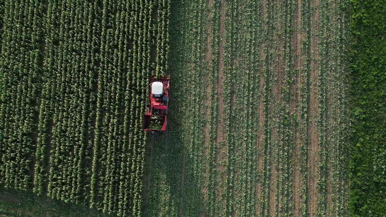
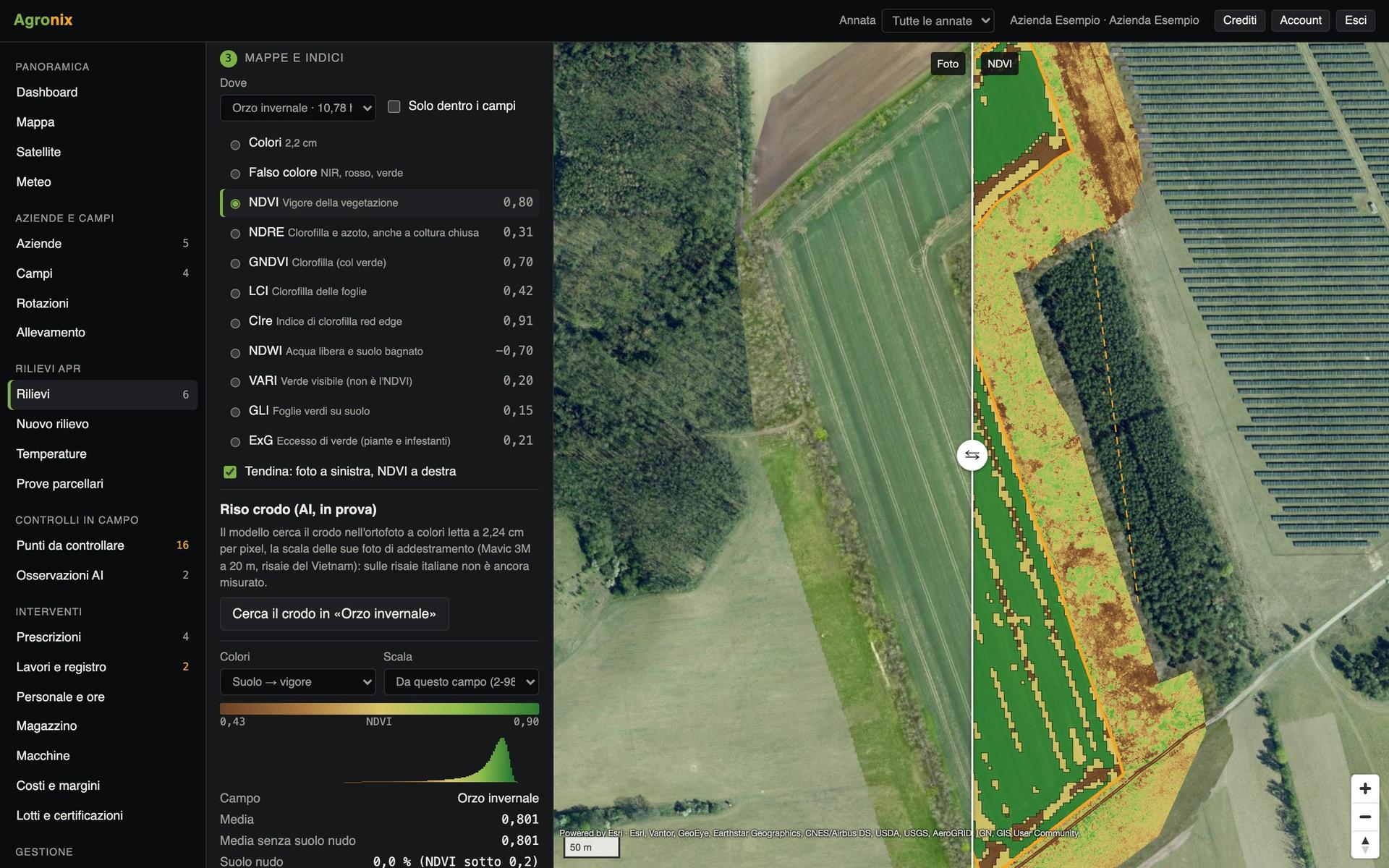
The drone sees the field to the centimetre when it flies; the satellite sees it at 10 metres, but every few days. For every field Agronix downloads only its part of the image, removes clouds and shadows pixel by pixel and draws the NDVI trend on the same chart as the drone surveys. When vigour drops quickly an alert is sent.
Follow the vigour of the whole farm
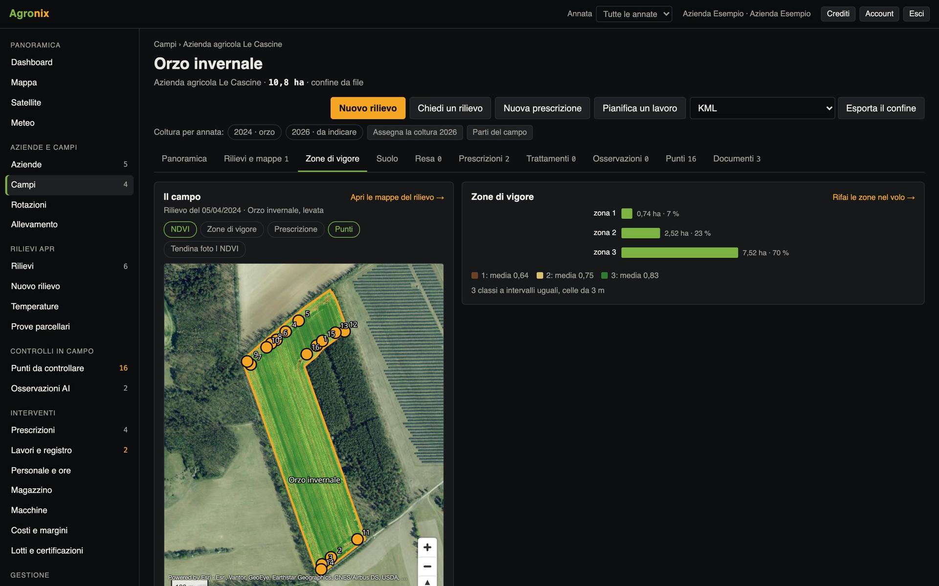
The Satellite page lines up every field with its latest clear pass, average value and season curve. A field that falls behind the others stands out at once, and you decide where to send the drone or where to walk.
- Latest clear pass for every field
- Season NDVI curve
- Falling vigour alert
Satellite and drone on the same chart
On the field page the satellite passes sit in the date strip next to the drone surveys: one click puts the image on the map. The season curve shows both views together.
- Date strip for drone and satellite
- Pass image on the map
- Current season updated every 6 hours
Screens with example data.
How it works
- 01
Draw the boundary
Or import it: from there Agronix knows which part of the image to download.
- 02
Agronix finds the passes
All of the season, then the new ones every 6 hours.
- 03
Keeps only clear ones
A pass counts if at least 80 % of the field is visible.
- 04
Read the curve
And get an alert if vigour drops quickly.
In detail
- Imagery
- Sentinel-2 level 2A (surface reflectance), Copernicus programme.
- Resolution
- 10 metres per pixel; for detail you fly the drone.
- Clouds and shadows
- Excluded pixel by pixel with the scene classification.
- Alert
- NDVI down 0.10 in 20 days, or thresholds each user chooses.
- Past seasons
- From 2017, for stable zones and yield forecasts.
Related features
Want to see it on your fields?
An Agronix demo with your farm's data, from survey to records.