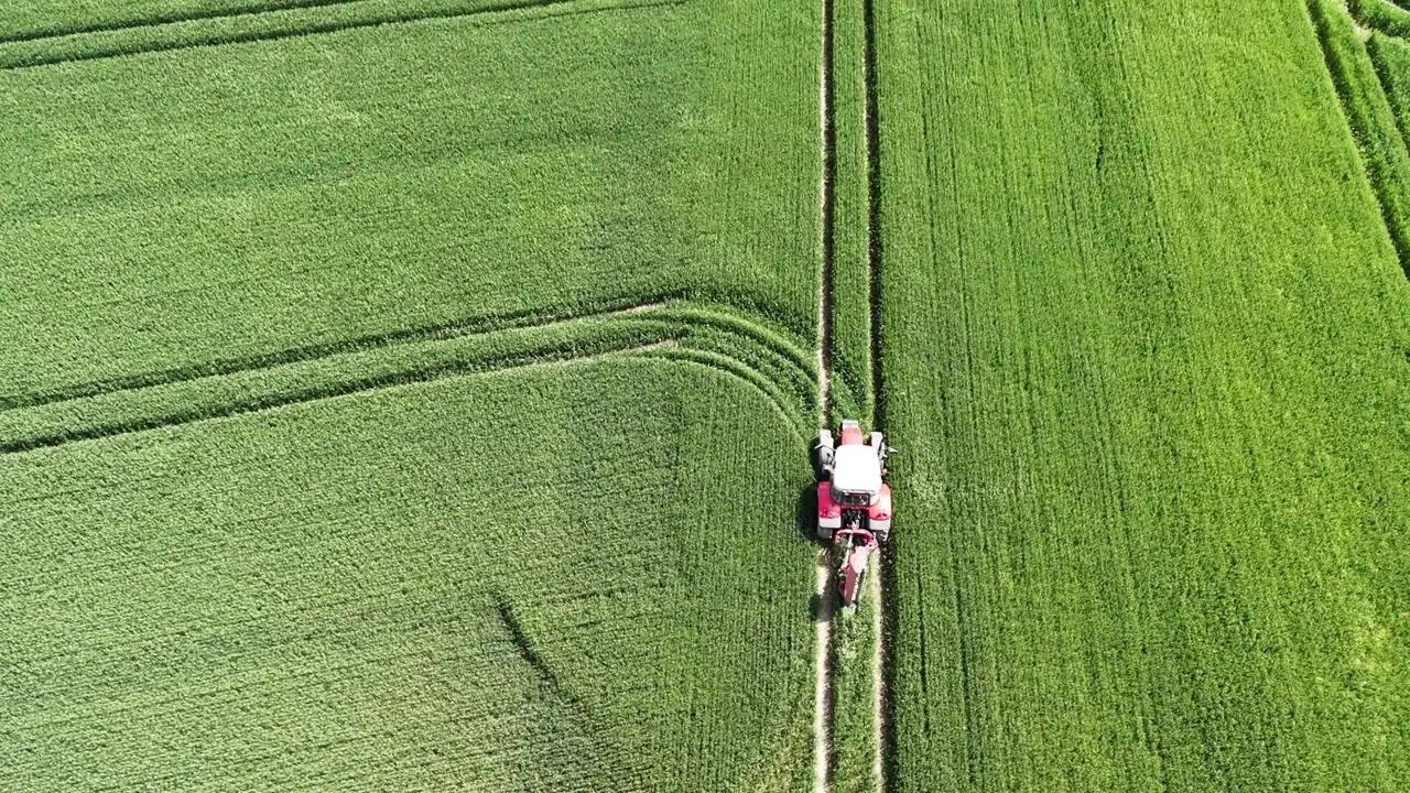
Drone surveys
From flight to field map
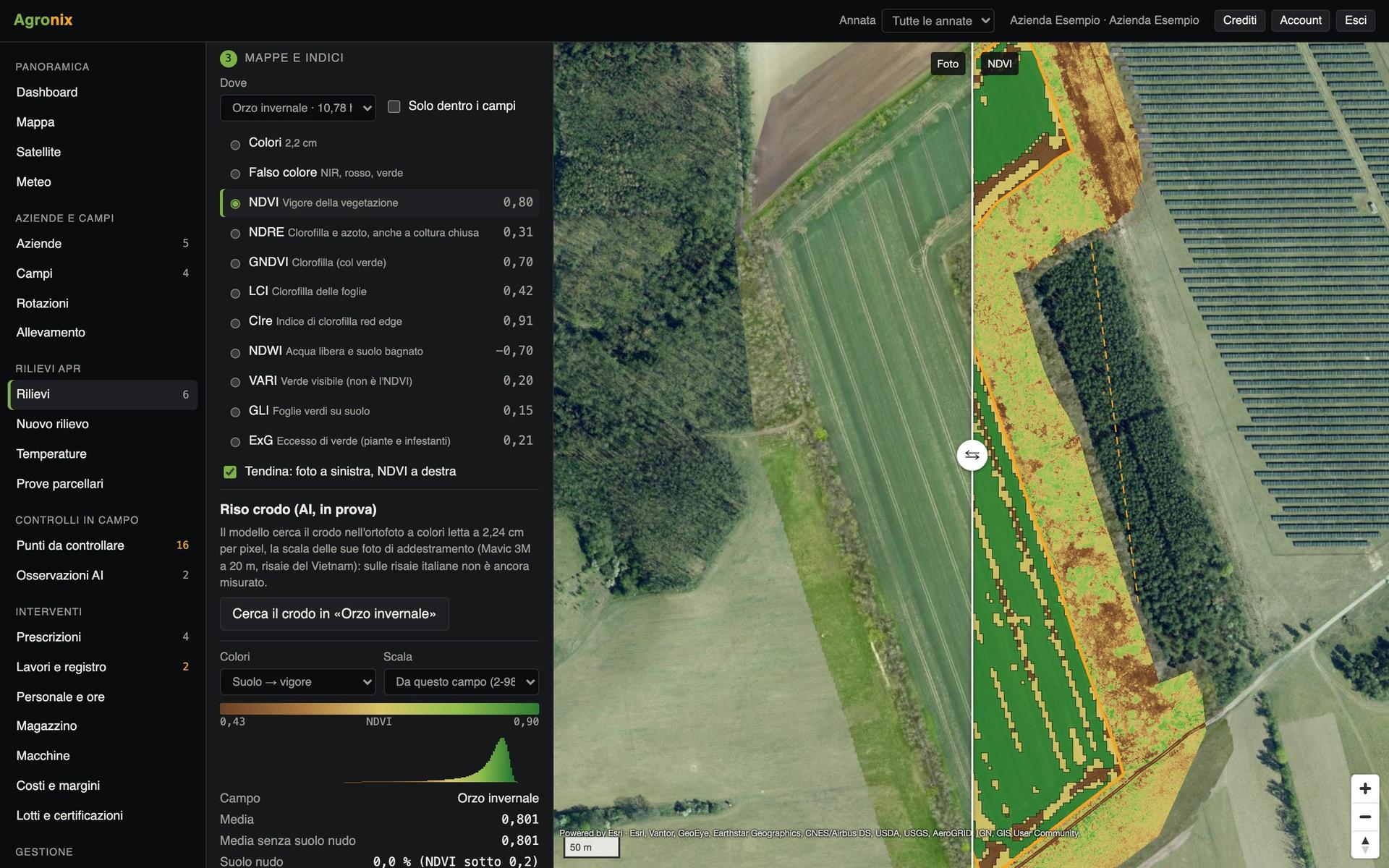
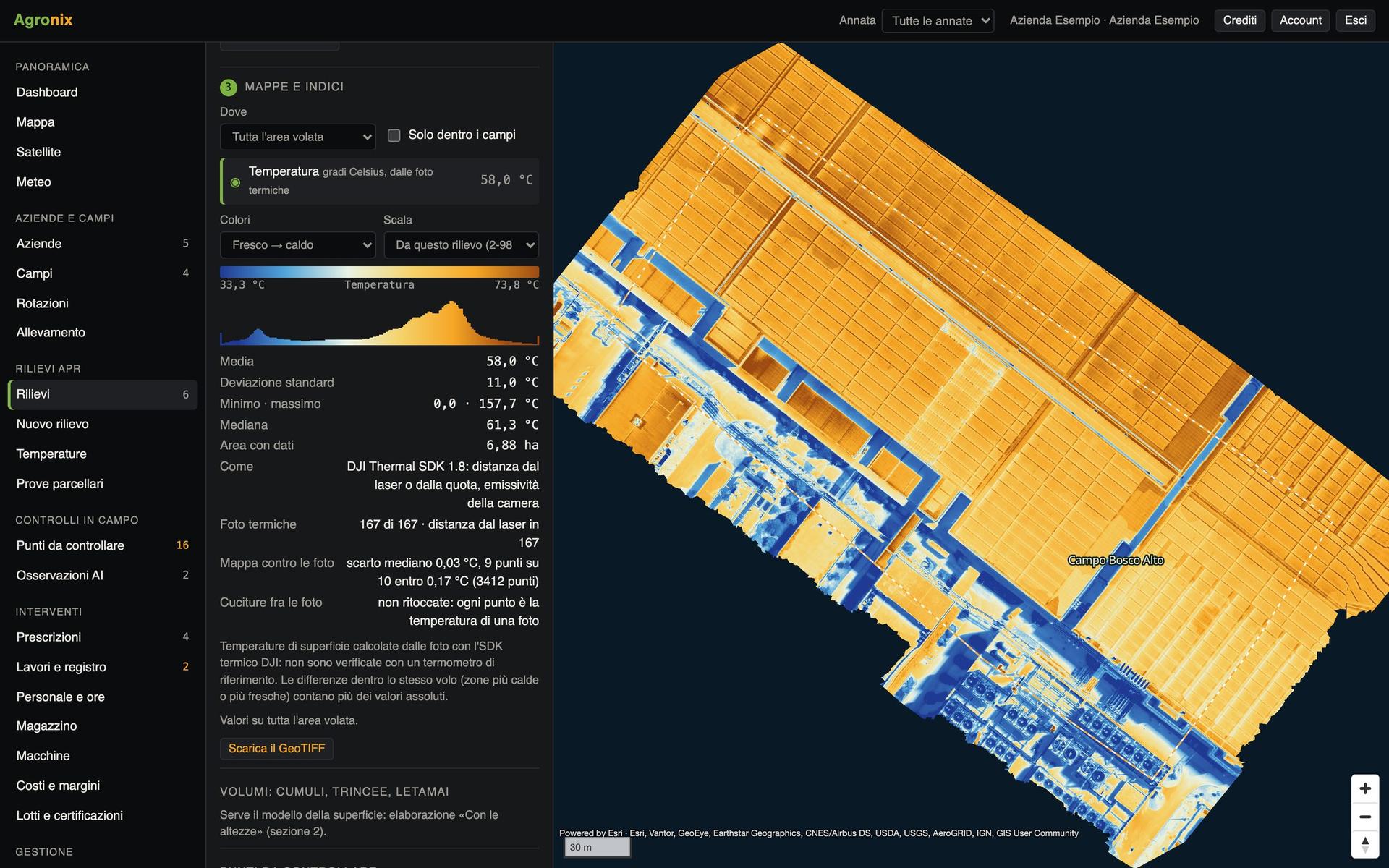
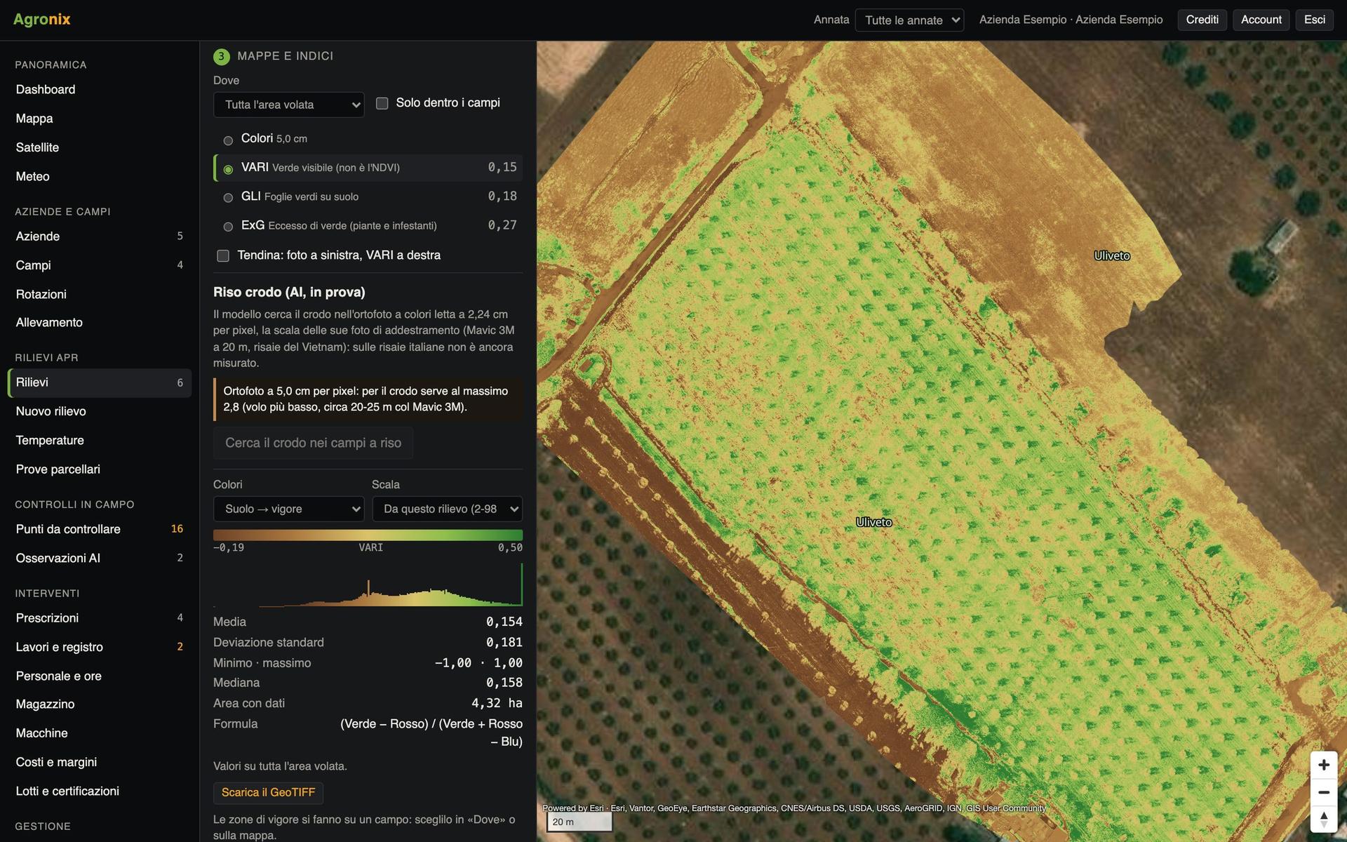
Agronix prepares the flight plan on the field boundary, checks the photos and processes them on our servers in Europe: orthophoto, indices, temperatures and heights.
A drone survey sees what cannot be seen from the ground: where the field grows less, where water is missing, how many plants there are. Agronix follows the survey from start to finish: it works out the flight plan, prepares the file for the remote controller, checks the uploaded photos and sends them for processing on a dedicated computing machine. Maps come back on the survey page and on every field's page, with statistics already done.
Plan the survey on the field boundary
Pick the field and the survey type: Agronix works out altitude, overlaps and flight lines and writes the mission file for the drone's remote controller. The new survey goes step by step, from field to photos, and at each step says what is missing.
- Flight lines worked out on the boundary
- Mission file for the remote controller
- Three types: multispectral, colour, with heights
Upload the photos, the server does the rest
Before starting Agronix checks the photos: multispectral bands, number of shots, calibration panel, RTK positions, radiometric thermal photos. It recognises cameras with an electronic shutter on its own and corrects the motion effect. Then processing starts on a computing machine in Europe, one per survey, which shuts down at the end.
- Automatic check before processing
- One computing machine per survey
- Maps on the page of every field covered
Ask Pixel Air for the survey
Without a drone, request the survey from the field page or the Surveys page: fields, survey type, period, phone and notes. The request reaches Pixel Air with the boundaries ready, the customer gets an email confirmation and sees status and planned date; the maps then arrive in their surveys.
- Request from the field page
- Confirmation and updates by email
- Maps straight into the customer's surveys
Screens with example data.
How it works
- 01
Choose field and survey
Multispectral for vigour, colour, with heights for trees.
- 02
Fly Agronix's plan
The mission file goes onto the drone's remote controller.
- 03
Upload the photos
Agronix checks them and says if anything is missing.
- 04
Open the maps
On the survey page and on every field's page.
In detail
- Survey types
- Multispectral map and indices; colour map; with heights (orchards, olive and hazelnut groves).
- Accepted photos
- Multispectral with calibration panel, colour, radiometric thermal.
- Where it is processed
- On computing machines in Europe, one per survey.
- Outputs
- Orthophoto, indices, per-field statistics, GeoTIFF clipped to the boundary, PDF report.
Related features
Want to see it on your fields?
An Agronix demo with your farm's data, from survey to records.