Skip to content
All sectors

Search and rescue

After sunset the ground cools and a body does not: that difference is what the thermal camera sees and the eye cannot.

After sunset the ground cools and a person's body does not: that difference is what the thermal camera detects, and it does not exist to the eye. Aerial support does not replace ground teams — it covers in minutes what takes hours on foot, and it tells them where to look.

Figures for this sector

4 / 15 / 25 px
pixels on the subject to detect, recognise, identify
5 m/s
search speed beyond which the subject is missed
0.05 °C
smallest temperature difference the sensor separates

What we do

Altitude and tilt computed on the subject

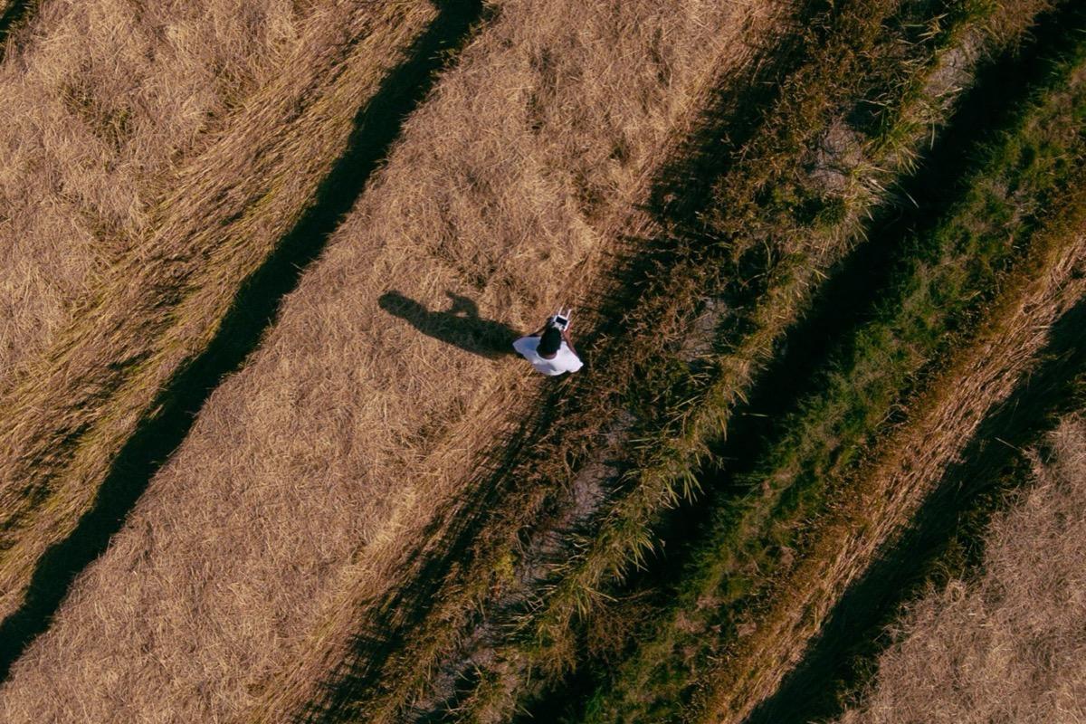
For a standing person the camera is tilted to −30° and the flight is at fifty metres: full height is visible, not just shoulders.

A person in an open field: at this altitude and tilt you see the full height, not just the shoulders.
How many pixels are actually needed

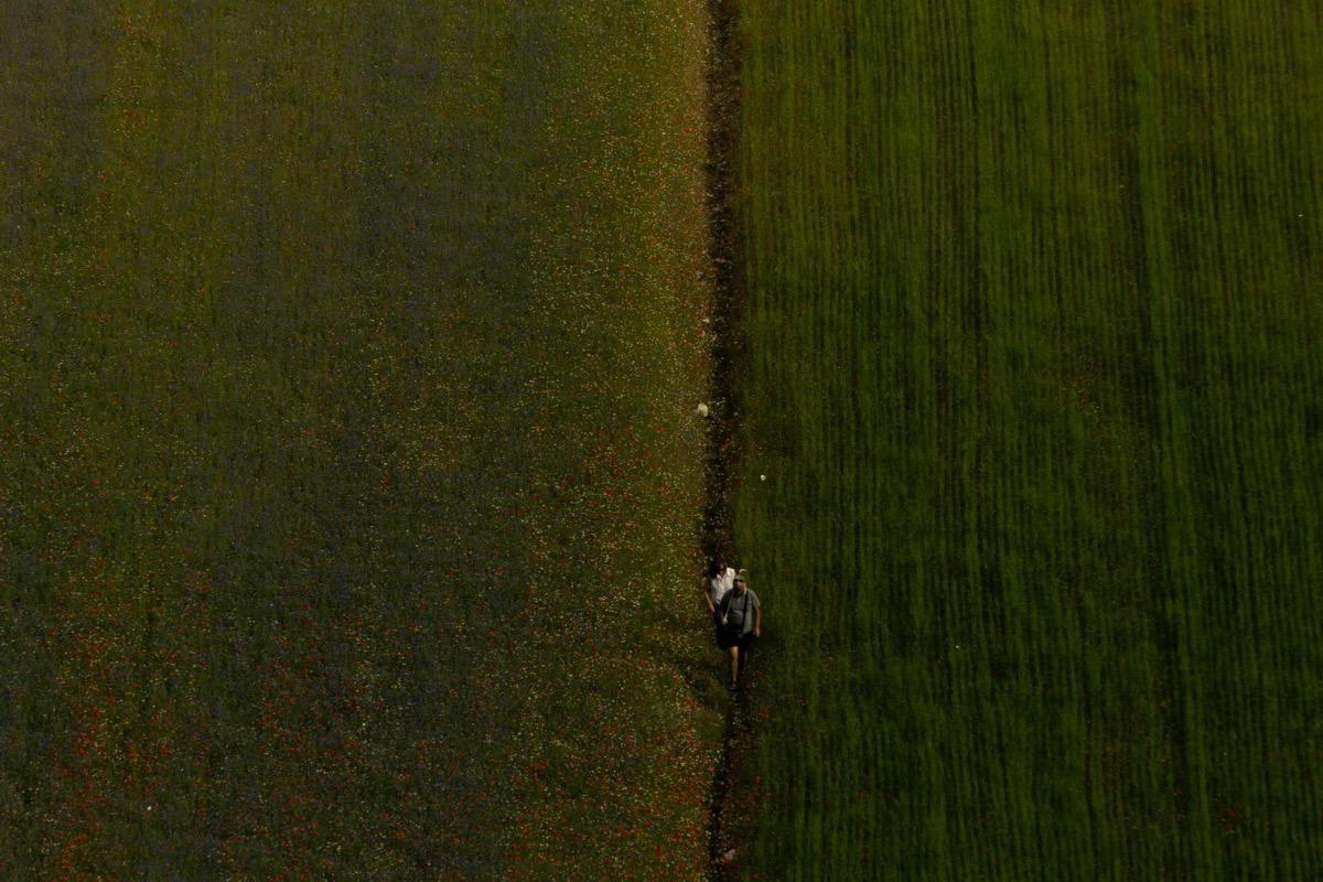
The criterion used in rescue work calls for 4 pixels on the subject to detect, 15 to recognise, 25 to identify. That is what altitude is chosen on, not the impression on screen.

The same kind of subject shot from higher up: enough to detect, not to recognise. The difference is all in the pixels.

Search speed

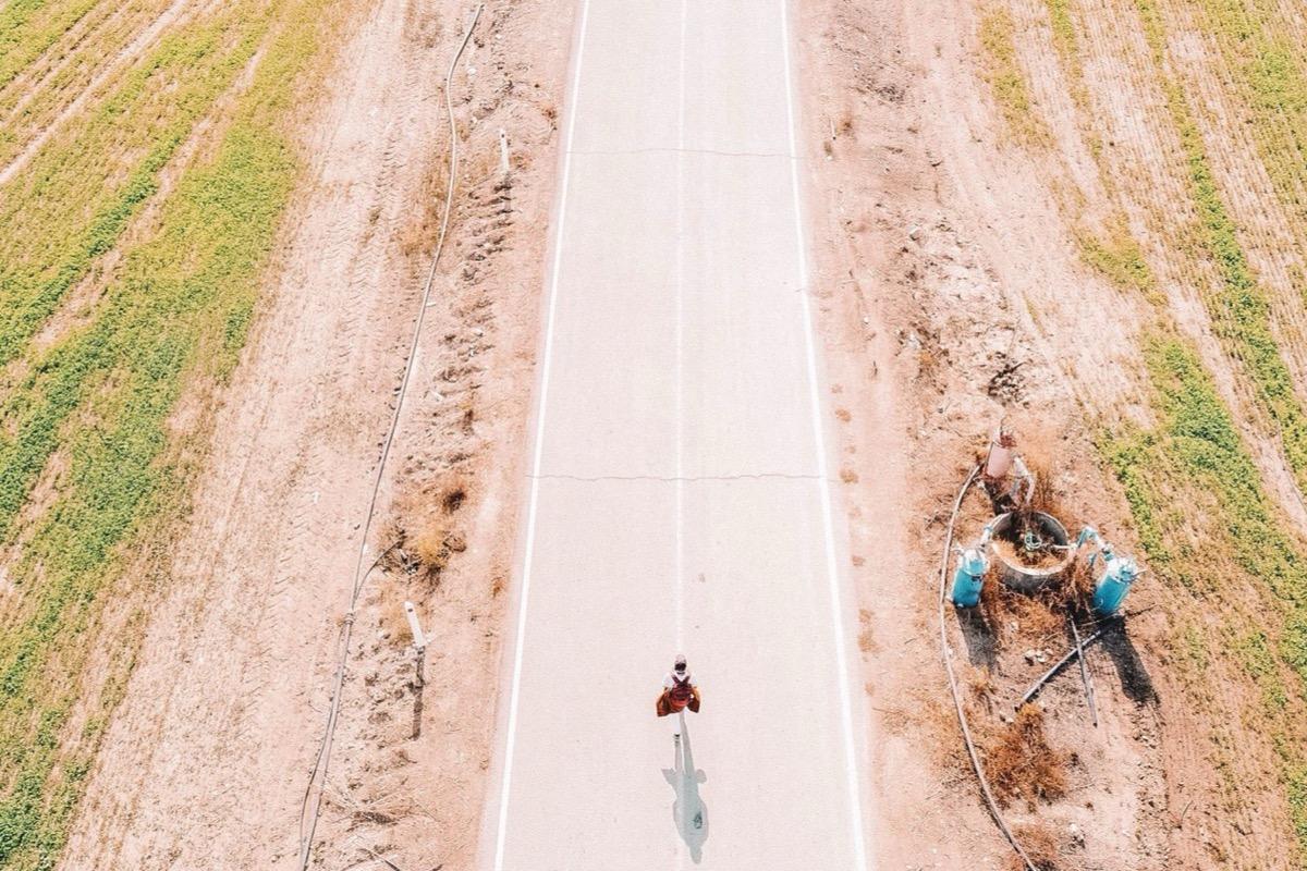
Five metres per second. Faster and the subject is missed regardless of available pixels: the most common and most expensive mistake.

A moving subject on a road: above five metres per second it passes underneath and nobody sees it.

Tracked coverage

Ground already observed is marked on the map from the camera's field of view: you know what has been looked at and what has not, with no ground references needed.

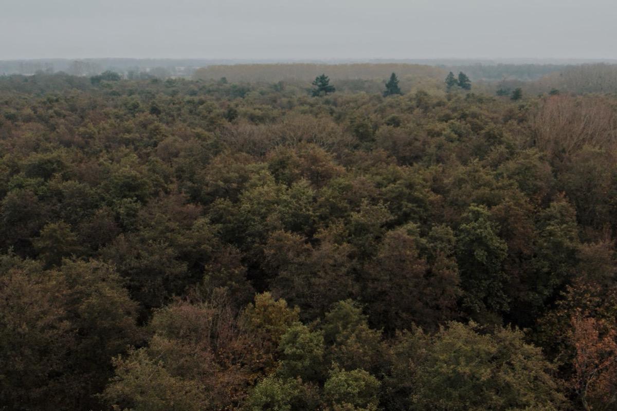
Dense woodland: without a map of what has already been searched you fly over the same canopy twice.

What you get

  • Live observation at the command post during the search
  • Coordinates of the located point, with the accuracy limit stated
  • Thermal and visible images of findings, time-stamped
  • Track of the area covered by the flight

Said up front

What thermography cannot do: in warm air, high humidity, rain or snow the contrast collapses, and glass reflects the sun's heat instead of revealing what is behind it. The altitude, tilt and speed above come from the manufacturer's aerial search guide, computed with a different aircraft: on our own equipment they must be re-verified in the field, and the pixel count on the subject changes. Flights are planned knowing this, and when conditions make it useless we say so beforehand.

Site visit and quote at no cost

Let's talk about your project.