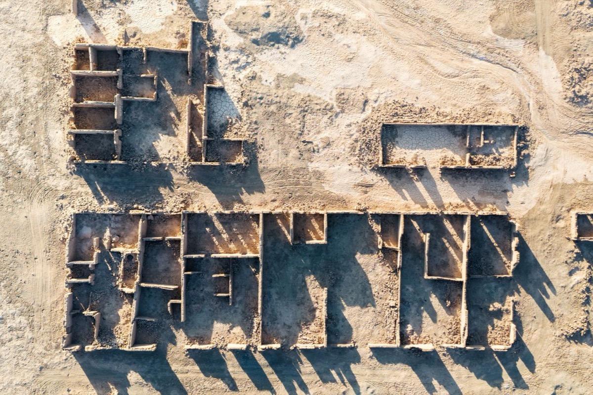
End-of-day orthophoto
Every excavation phase closed with a scaled, georeferenced image: stratigraphic units are drawn on top in CAD or GIS, with no hand survey.
The plan of the dig at day's end: stratigraphic units are drawn on top, in CAD or GIS.
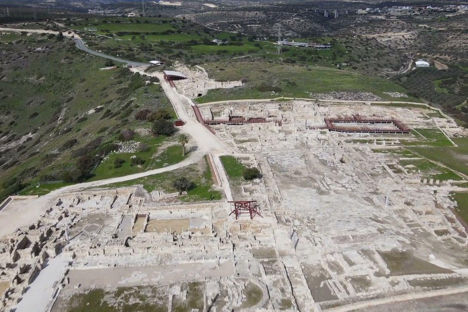
Excavations, elevations and historic roofs: high-resolution metric documentation without touching anything.
On a dig, documentation is the work: what is removed does not come back, and only what was recorded remains. An aerial survey closes the day with a scaled orthophoto and a three-dimensional model of the surface, in times that do not slow the site down.
Figures for this sector
Every excavation phase closed with a scaled, georeferenced image: stratigraphic units are drawn on top in CAD or GIS, with no hand survey.
The plan of the dig at day's end: stratigraphic units are drawn on top, in CAD or GIS.
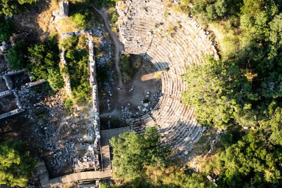
Point cloud and surface mesh: sections and elevations are extracted later, even once digging has moved on and that surface no longer exists.
A theatre emerging from the woods: sections and levels are extracted from the model even months later.
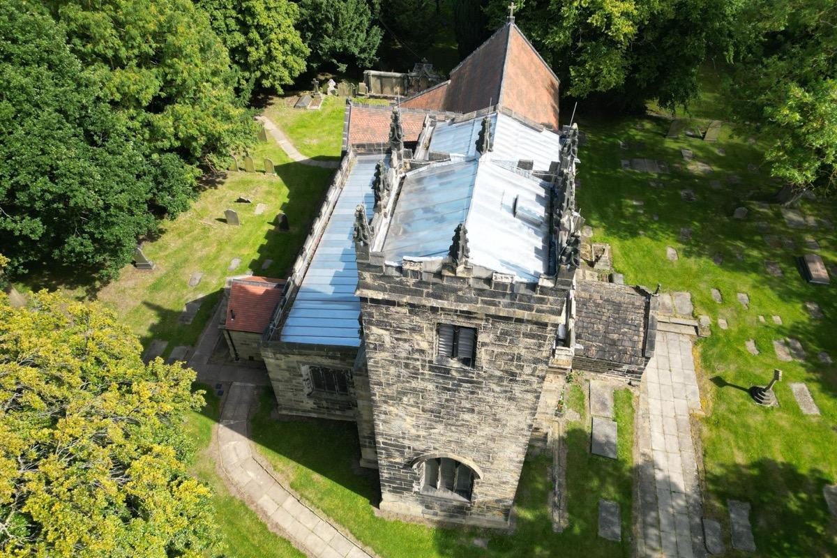
The gimbal looks upward to 70°: cornices, eaves and vaults are filmed from below without scaffolding and without contact.
Roof and bell tower of a country church: no scaffolding and no contact with the stone.
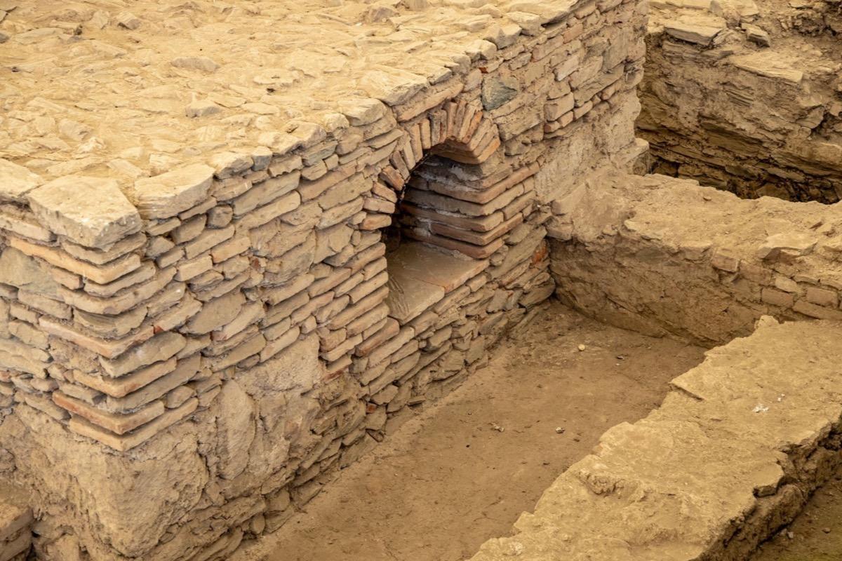
Plaster detachment and rising damp appear as temperature differences before they appear as stains: the survey never touches the surface.
Masonry with an exposed arch: detachment and damp show as temperature differences before they show as stains.
Other sectors