Map of the affected area
Georeferenced orthophoto produced with speed as the priority: the usable overview first, detail and model afterwards.
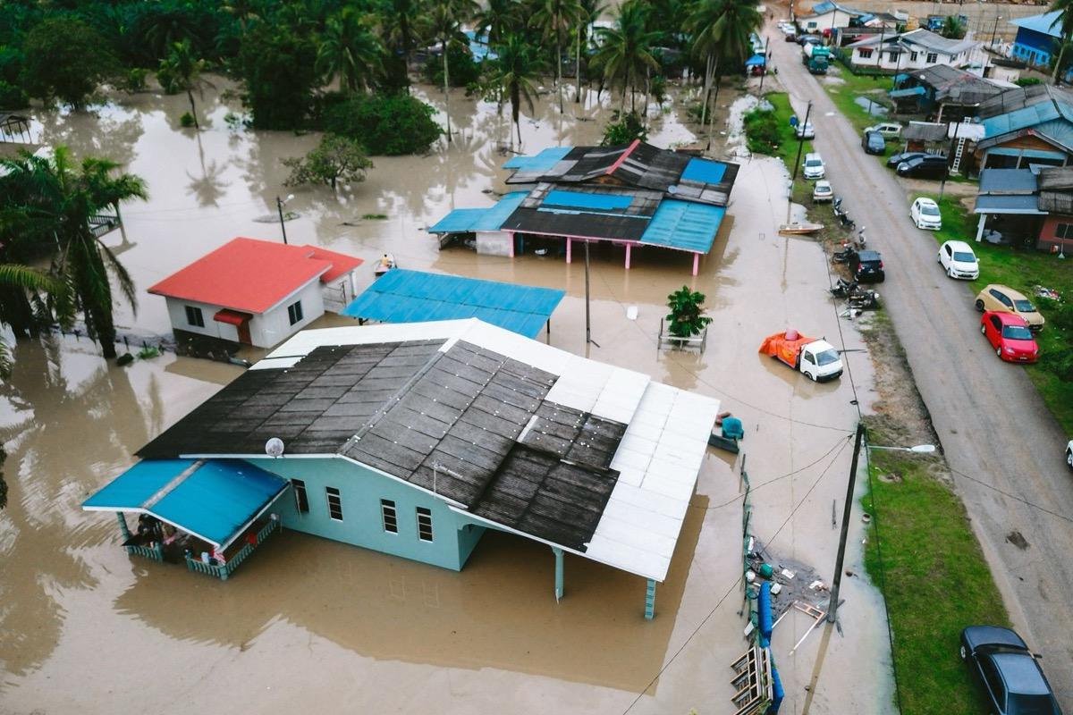
A flooded settlement: first the usable overview, detail afterwards.
The state of things right after the event: flooding, landslides, collapse. A georeferenced map in hours, not days.
In the first hours after an event only one thing matters: knowing what happened and where. A flight over the affected area returns a georeferenced overview that overlays existing mapping, and from there the teams are directed.
Figures for this sector
Georeferenced orthophoto produced with speed as the priority: the usable overview first, detail and model afterwards.
A flooded settlement: first the usable overview, detail afterwards.
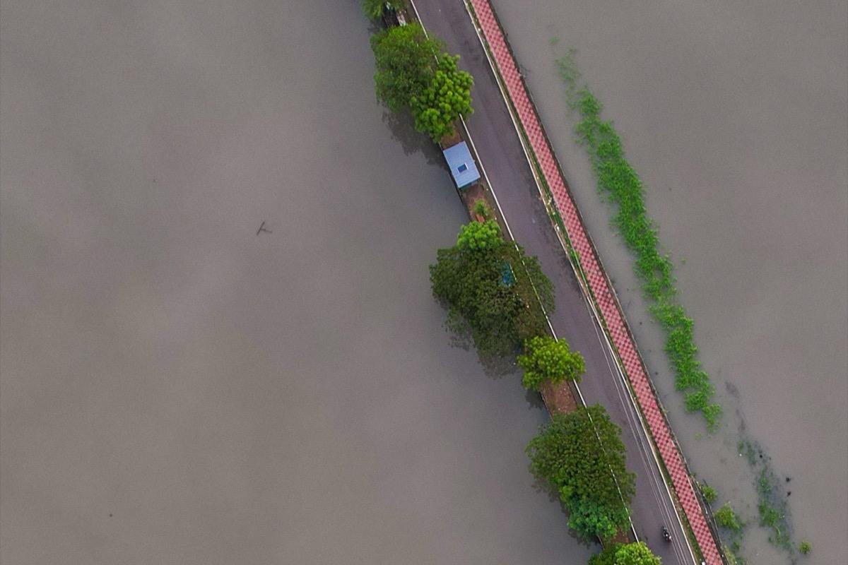
Cut roads, bridges, fords and access points identified on current imagery, not on last year's map.
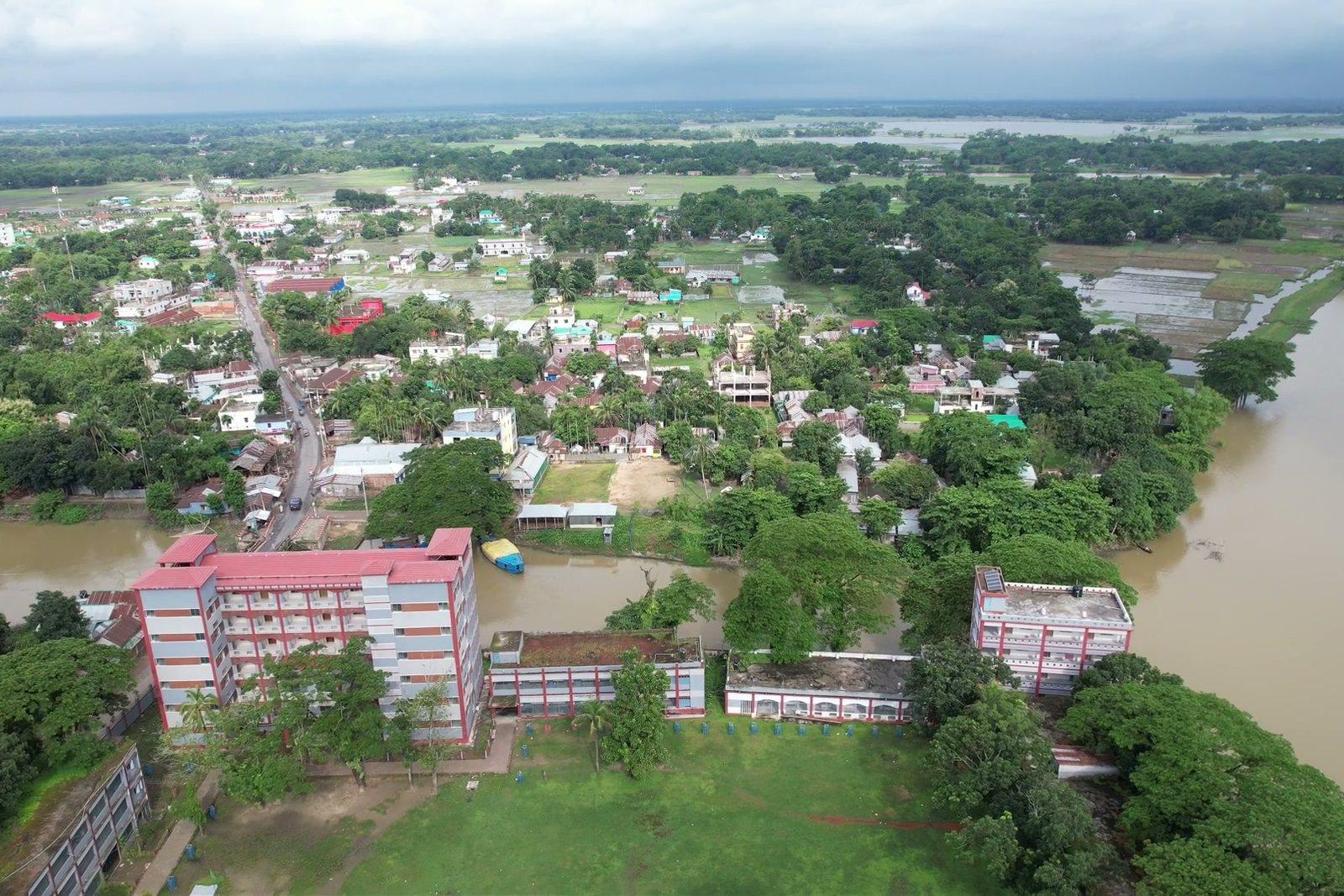
An embankment holding and the countryside under water: this way through, that way not.
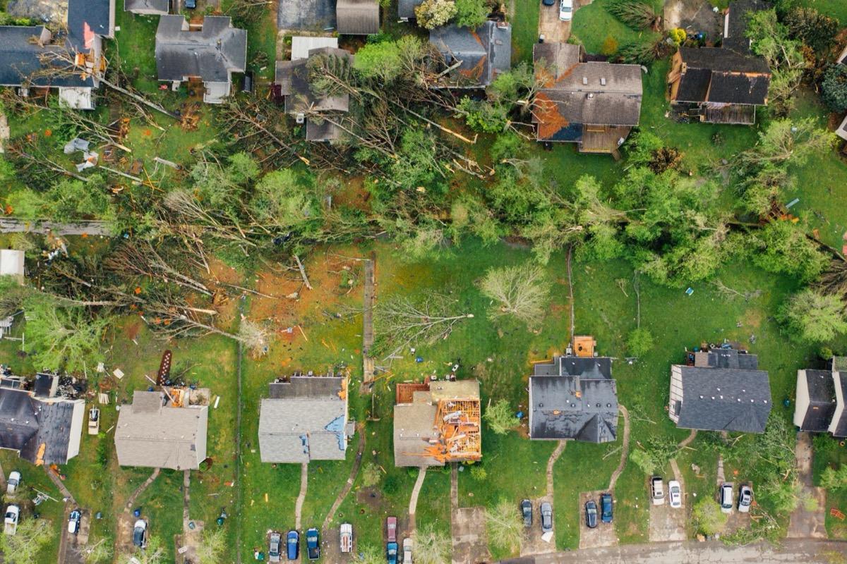
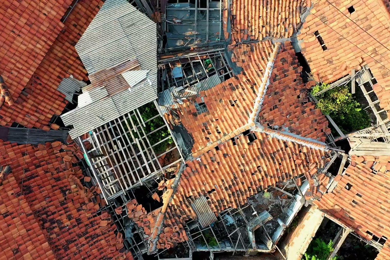
Stripped roofs, cracks and collapse documented from above without sending anyone inside or onto the building.
After the whirlwind: opened roofs and downed trees, with nobody sent onto a roof.
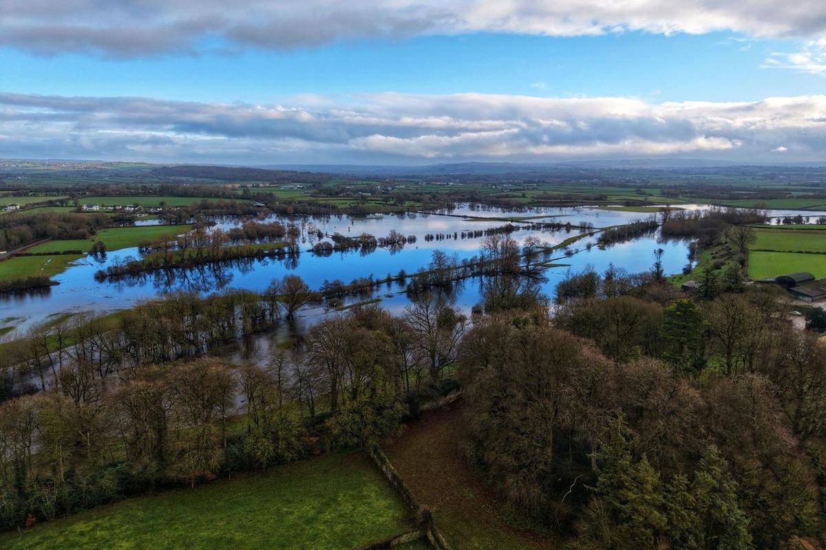
Where an earlier survey of the same area exists, the difference is immediate and measurable: areas, volumes, elevations.
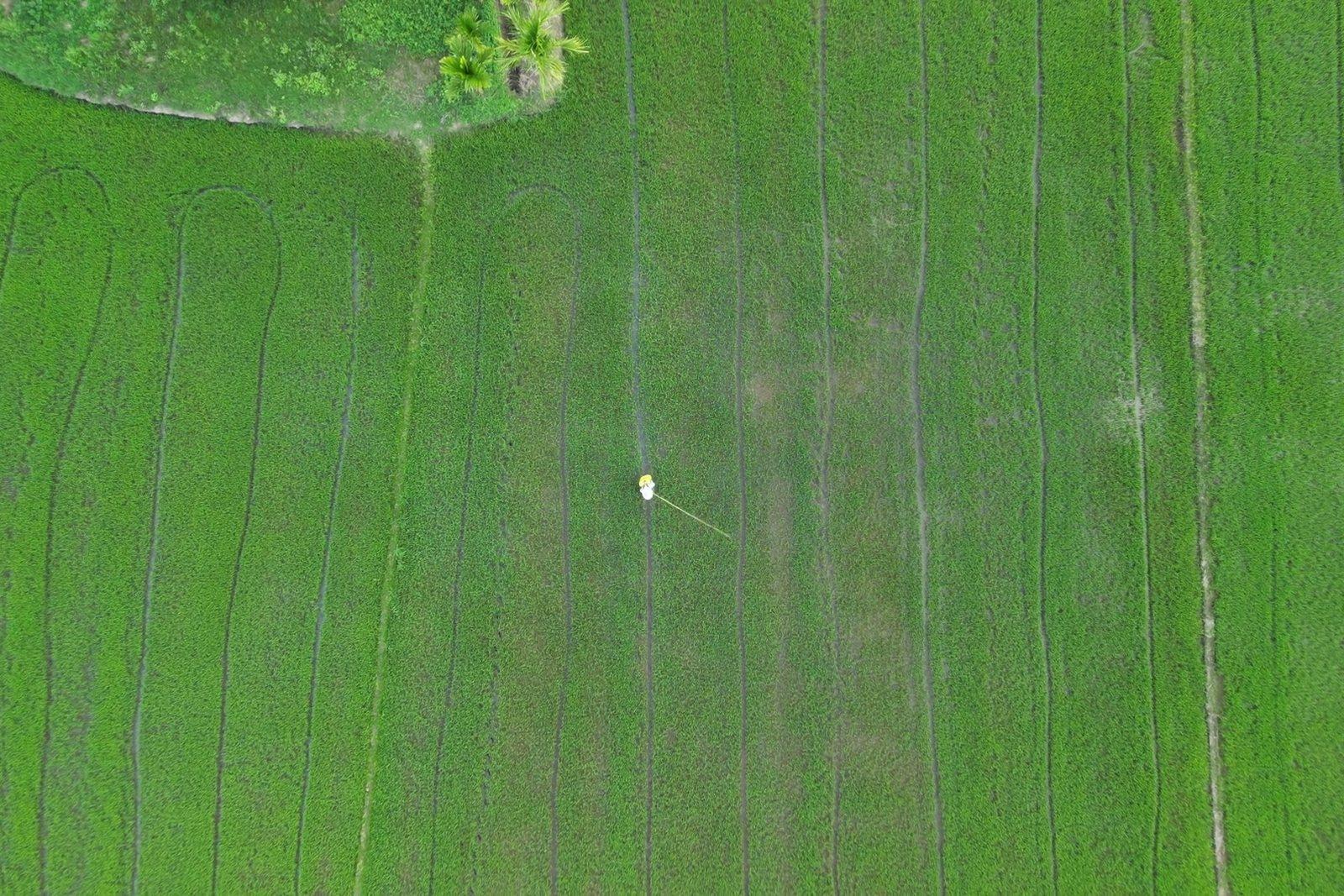
Water over fields: where an earlier survey of the same area exists, the difference is immediate and measurable.
Over areas under emergency operations the airspace may be reserved for rescue aircraft: we fly only in coordination with whoever is managing the event, never on our own initiative.
Other sectors