Skip to content
All sectors

Construction, civil engineering and GIS

Progress reporting, earthwork volumes and georeferenced bases for design. The site flown on the same route every month.

A site changes every week and its documentation falls behind. An aerial survey repeated on the same route builds a comparable time series: every progress stage has its orthophoto, its elevations and its volumes, and the conversation with the works supervisor runs on numbers instead of impressions.

Figures for this sector

1 cm
horizontal accuracy of real-time positioning
4
minimum ground control points when accuracy must be certified
48 h
from flight to delivered files

What we do

Georeferenced bases for design

Orthophoto and terrain model in national coordinates, ready to import into CAD and GIS: the starting base for a project without waiting for a ground survey.

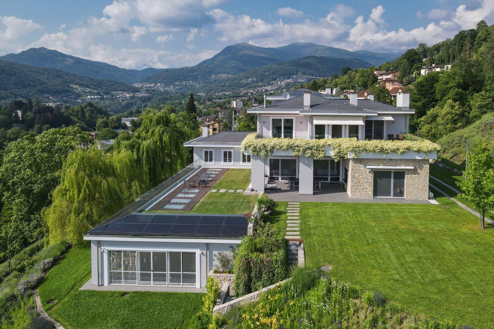
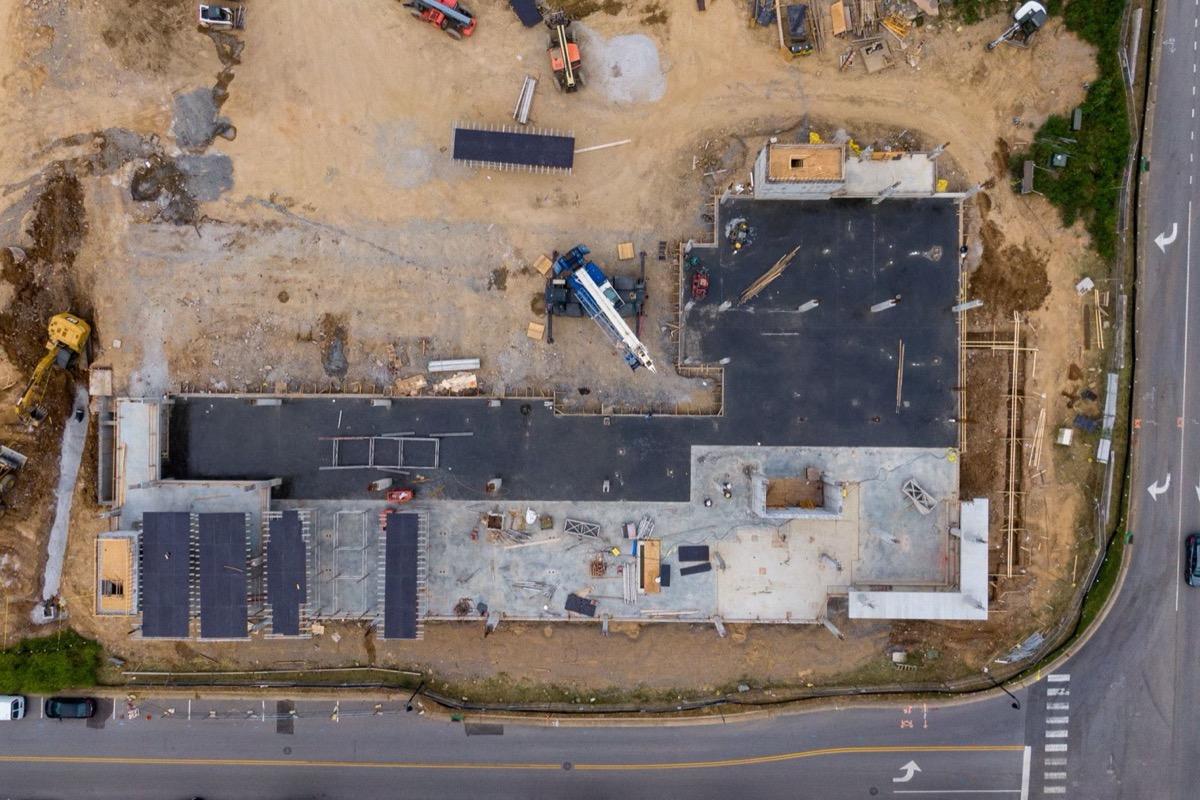
Foundations, access roads and fencing in one georeferenced base: the designer imports it instead of redrawing it.
Progress reporting

A monthly flight identical to the last: same altitude, same grid, same time of day. Differences between two dates are measurable and dated, not narrated.

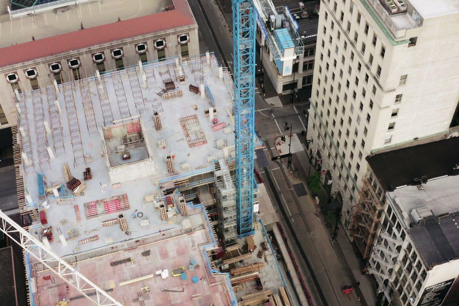
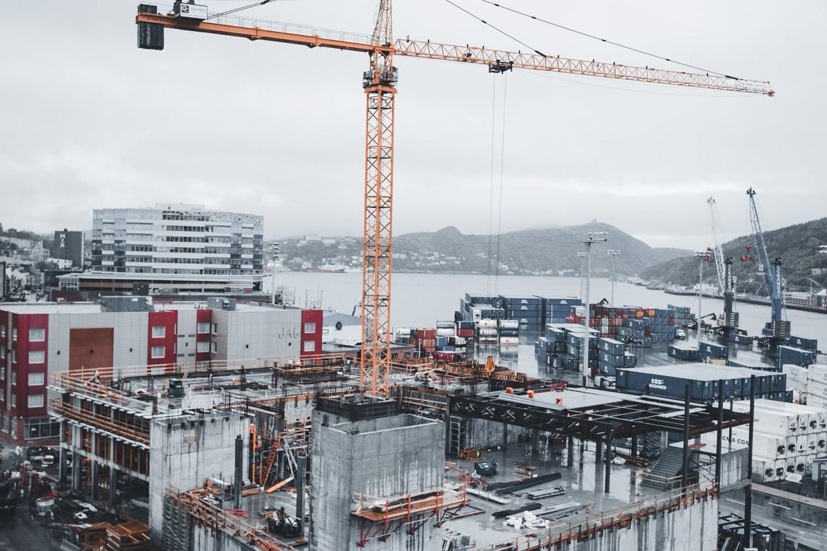
Pours, formwork and rebar on a given date. A month later the same flight is repeated and the difference is measurable.

Cut and fill volumes

From the digital terrain model the volume between two surfaces is computed over the whole area, not on sample cross-sections: what was actually moved, not what was declared.

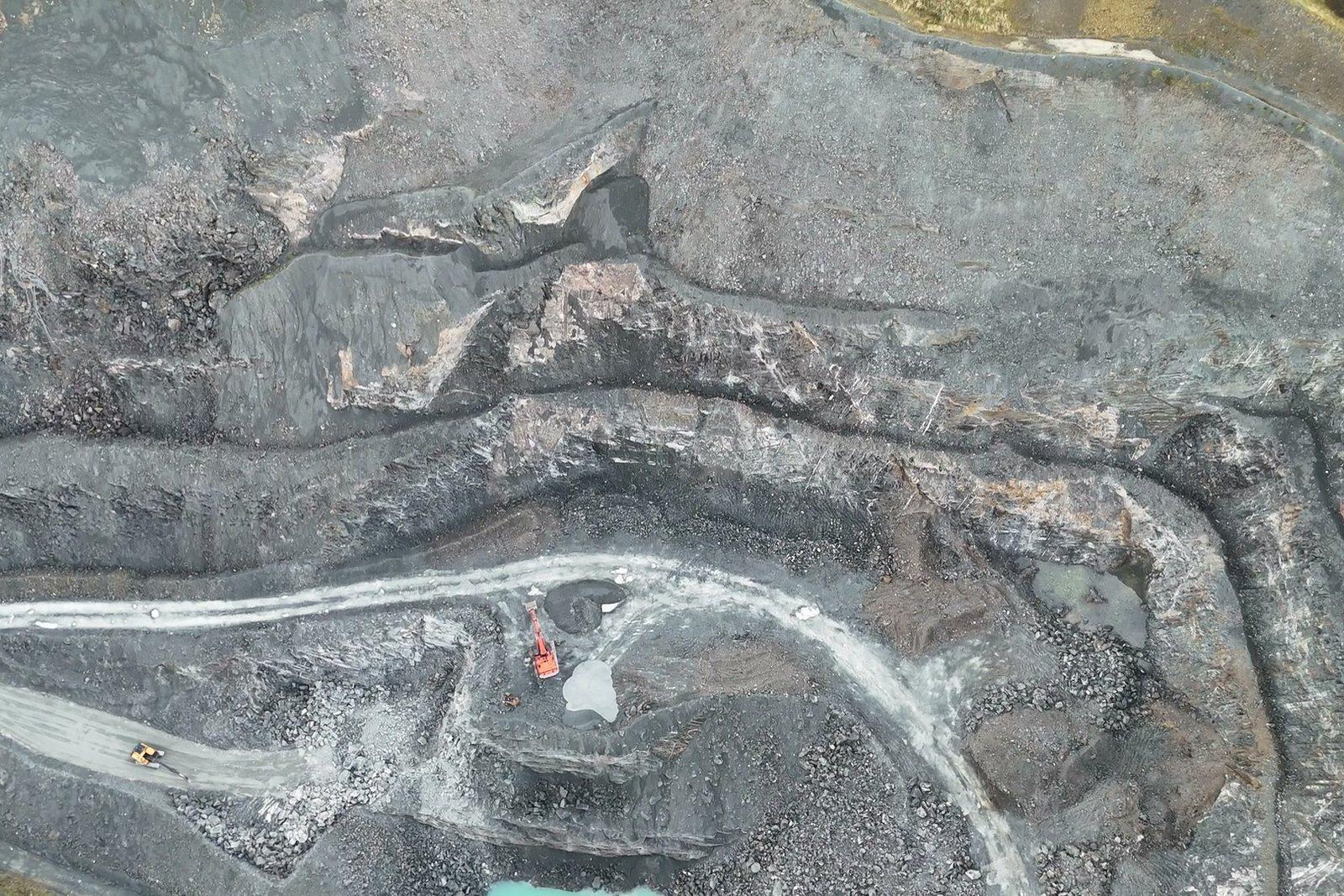
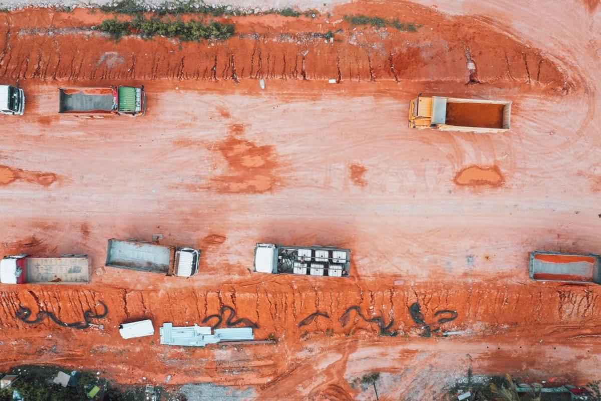
Machines and heaps on the excavation floor: volume is computed between two surfaces, not from sample cross-sections.

Accuracy stated, not promised

With real-time satellite positioning the camera station is known to about 1 cm horizontally and 1.5 cm vertically. When the specification requires it, ground control points are laid — at least four, well distributed — and the accuracy is measured and written into the report.

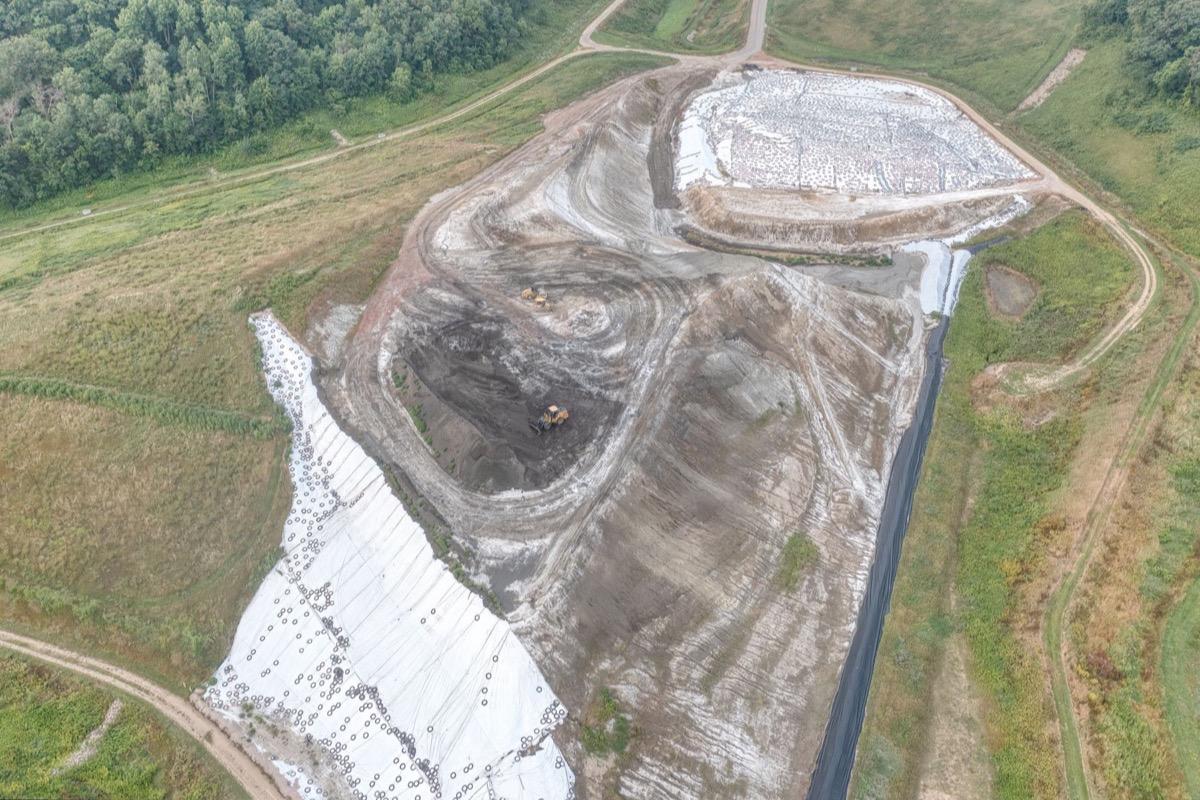
A lined basin: when the specification fixes the levels, the accuracy belongs in the report.

What you get

  • Georeferenced orthophoto (GeoTIFF + JPG)
  • Digital terrain and surface models (DTM and DSM)
  • Point cloud (LAS/LAZ) and navigable 3D model (OBJ)
  • Volume computation between two surveys, with the method stated
  • Report with flight parameters and, on request, residuals on the control points

Site visit and quote at no cost

Let's talk about your project.