Repeatable linear routes
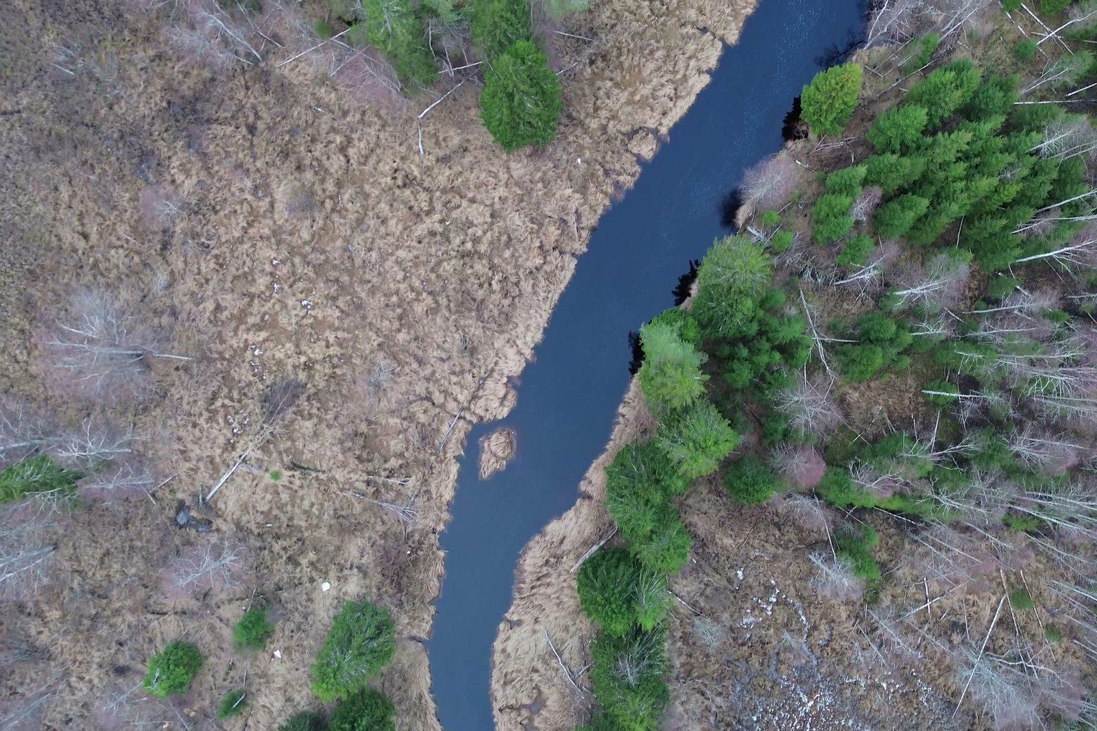
The alignment is flown as a corridor route: same points, same framing, same altitude every pass, so a change stands out.
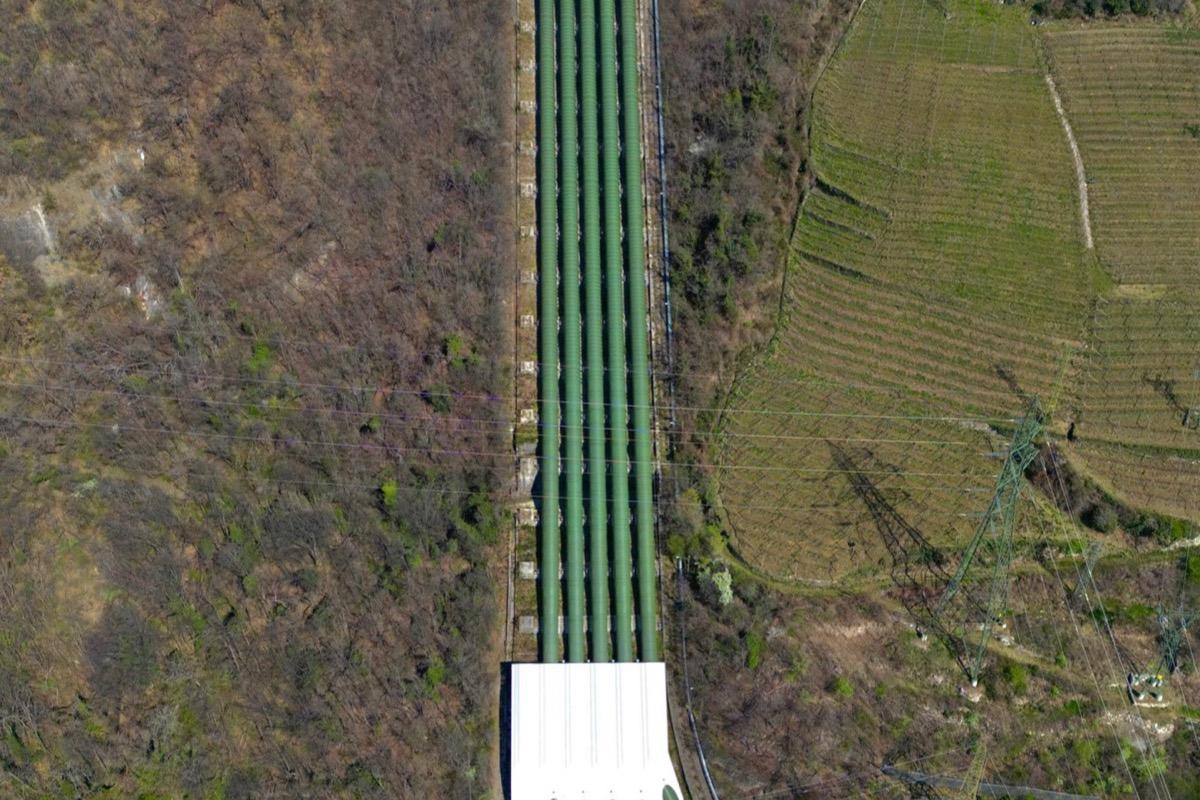
A pipeline in open country: followed with a corridor route, the same one every time.
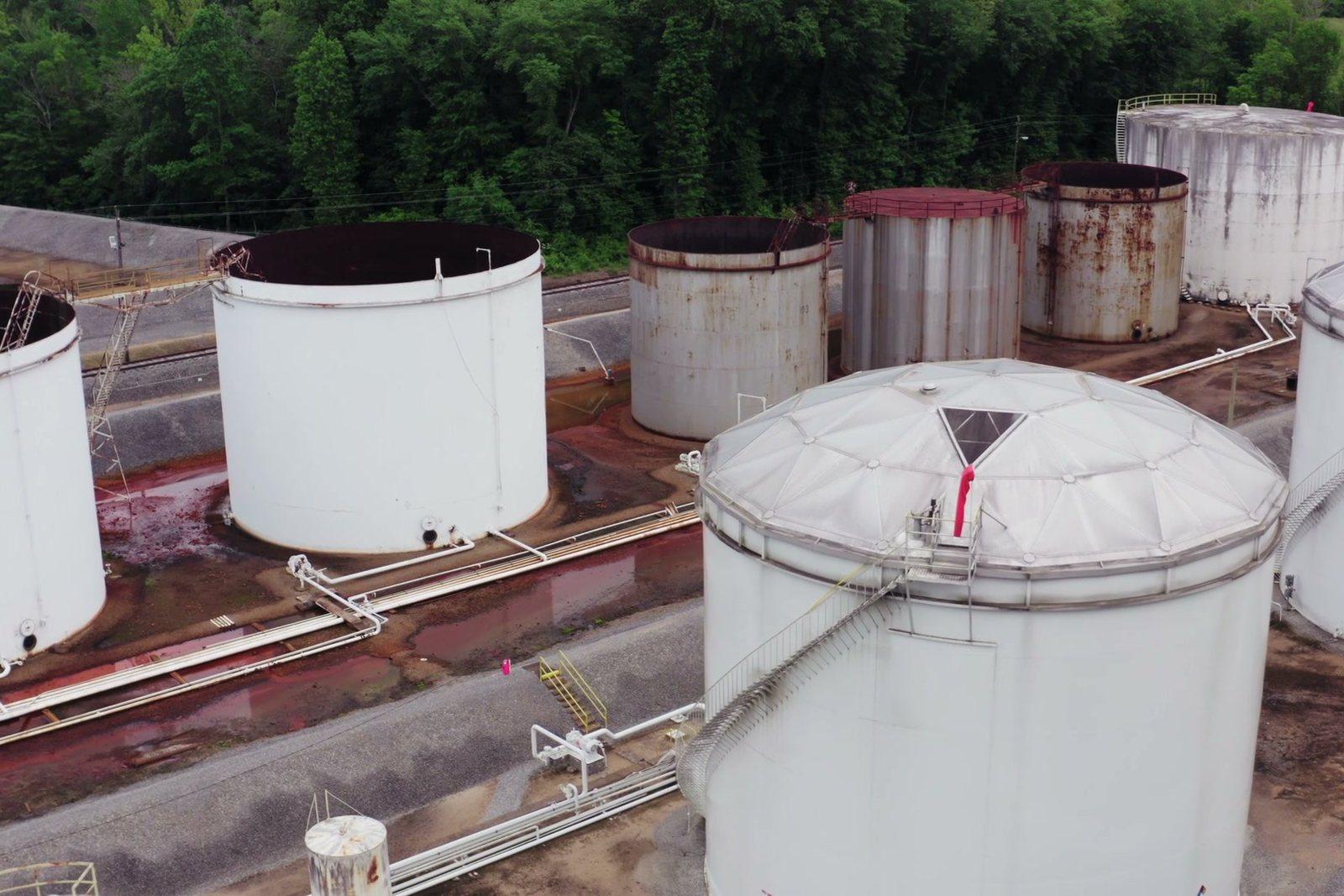
Tanks, routes and lines: patrol and documented inspection along paths repeated identically.
On a linear network the problem is length: kilometres of route to cover in order to check a handful of critical points. A programmed route visits them all in the same order every time, saves imagery at the same scale and makes two checks months apart comparable.
Figures for this sector
The alignment is flown as a corridor route: same points, same framing, same altitude every pass, so a change stands out.
A pipeline in open country: followed with a corridor route, the same one every time.
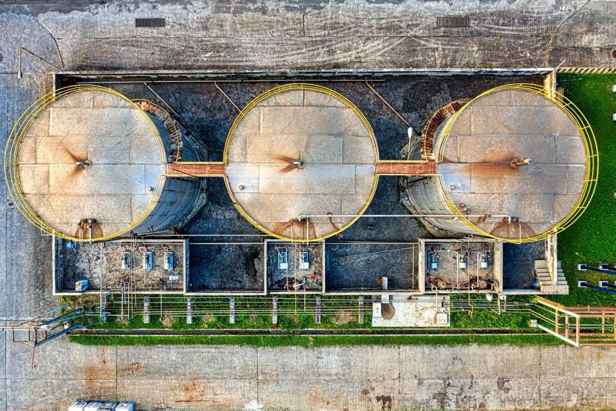
Floating roofs, insulation, stairs and walkways documented from above and below: the gimbal also looks upward, up to 70°.
Tank roofs seen from above: seals, ladders and walkways with nothing to climb.
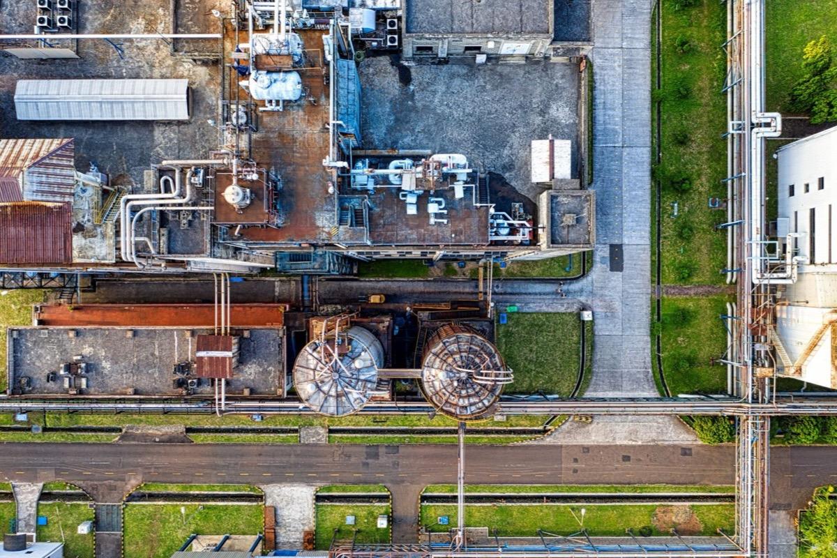
Degraded insulation, heat loss and switchgear: the thermal camera separates differences down to 0.05 °C and measures to a stated ±2 °C.
The pipework and panels of a depot: a leak shows in thermal before it shows in a photograph.
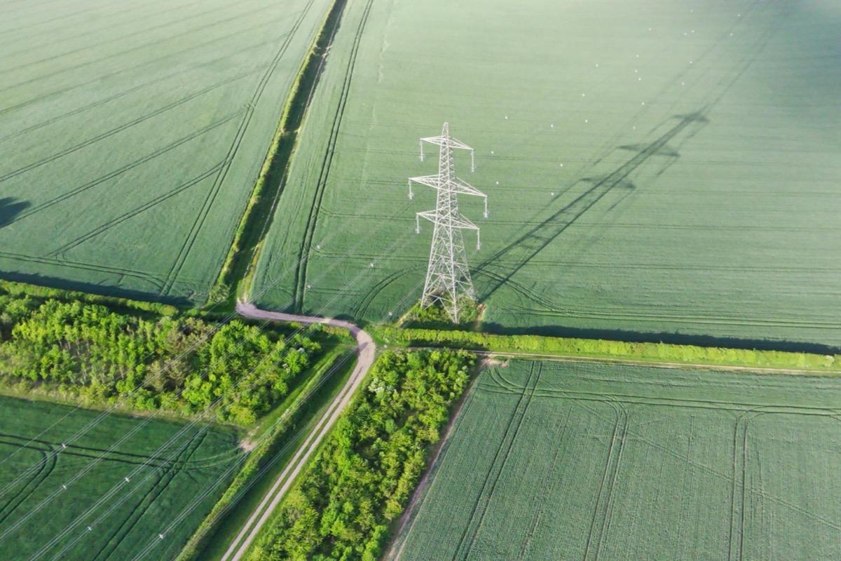
Unauthorised occupation, vegetation grown over the route, unpermitted excavation: recorded and dated on the orthophoto, ready to report.
A pylon amid the fields: encroaching vegetation, tracks and digging along the route stay dated on the orthophoto.
Other sectors