Skip to content
All sectors

Quarries, geology and earthworks

Extracted volumes, quarry faces and slopes: repeatable measurements on the terrain model, with nobody sent to the face.

In a quarry the number that matters is volume, and volume is the difference between two surfaces. A monthly aerial survey returns it over the whole area with nobody sent to the working face, where ground survey is slow and not always safe.

Figures for this sector

1.5 cm
vertical accuracy of real-time positioning
+70°
upward gimbal travel: a wall can be filmed from below
49 min
maximum stated endurance per battery; real work counts on less

What we do

Volumes between two dates

A digital terrain model at every survey: material removed or stockpiled is the difference between two surfaces, computed over the whole area rather than on sample sections.

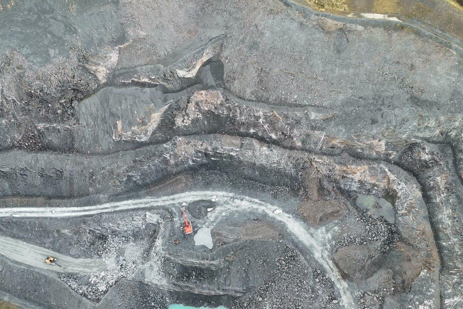
Yard, plant and face in a single survey: the difference from last month's is the material moved.
Faces and slopes

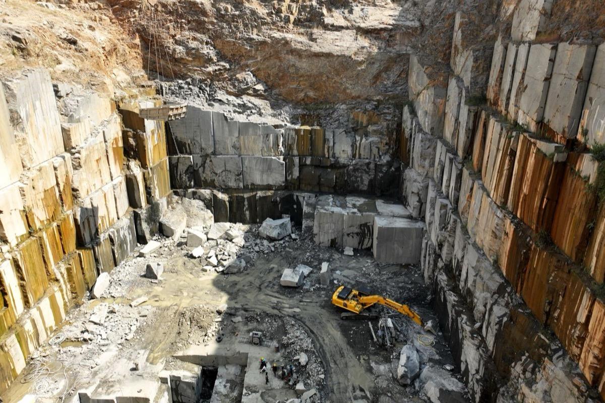
The gimbal tilts up to 70° upwards: a wall is filmed from below without overflying it and without approaching an unstable toe.

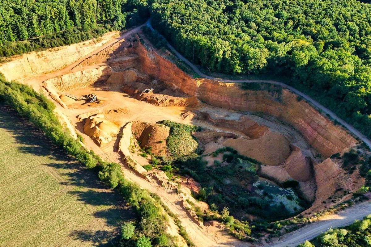
A face of vertical walls: with the gimbal tilted upward the wall is filmed without flying over it.

Stockpiles and yards

Every pile with its volume and its date, useful for the month-end inventory and for site accounting.

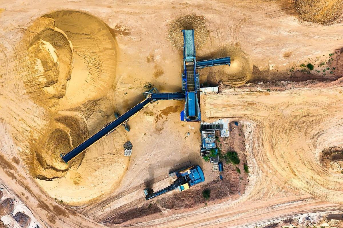
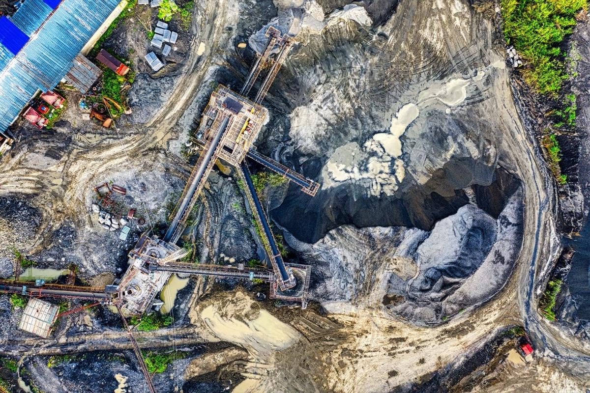
Stockpiles and conveyors in the yard: every heap with its own volume and date.

Movement monitoring

Surveys repeated over the same perimeter reveal movement that looking at the slope does not: the difference between two models needs no interpretation.

Slopes and the forest edge: two models months apart reveal movement the eye does not catch.

What you get

  • Digital terrain model at each campaign (GeoTIFF)
  • Volume computation between two surveys, with the method stated
  • Georeferenced orthophoto of the working area
  • Point cloud for sections, slopes and profiles
  • Report with flight parameters and survey conditions

Site visit and quote at no cost

Let's talk about your project.