Quays and infrastructure
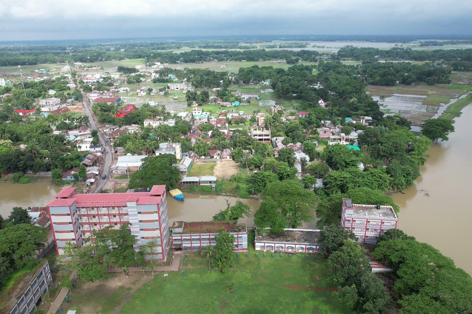
Orthophoto of the port area with measurable surfaces and distances, updatable each campaign on the same route.
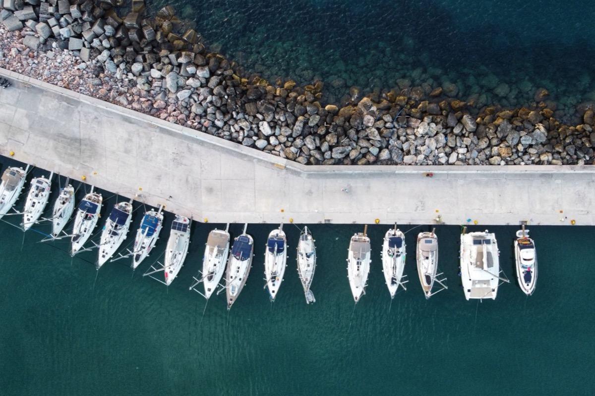
Quay and breakwater: areas and distances measured on the file, survey after survey.
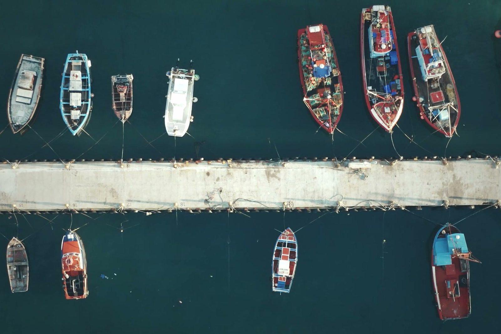
Hulls, quays and water basins filmed and measured from above, where the ground viewpoint is always the wrong one.
In a port the space is occupied and the ground viewpoint is always the wrong one. From above you see the real layout of the berths, the condition of the quays and the geometry of the basins — and you measure them, because the survey is georeferenced.
Figures for this sector
Orthophoto of the port area with measurable surfaces and distances, updatable each campaign on the same route.
Quay and breakwater: areas and distances measured on the file, survey after survey.
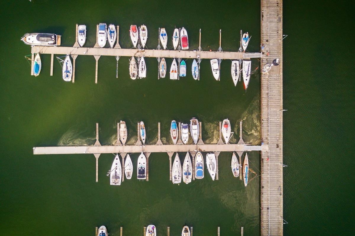
Footage for sale listings and refit documentation, with 48-megapixel detail on deck, superstructure and topsides.
Pontoons straight down: at this scale deck and superstructure of each hull are readable.
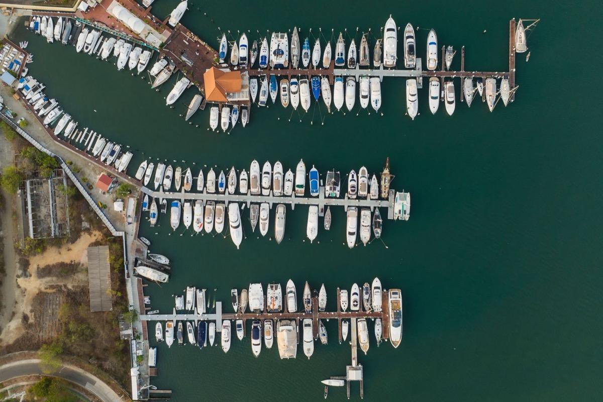
Actual berth occupancy, dated and with coordinates: useful for concession management and audits.
The harbour in one image: how many berths are taken, when and where.
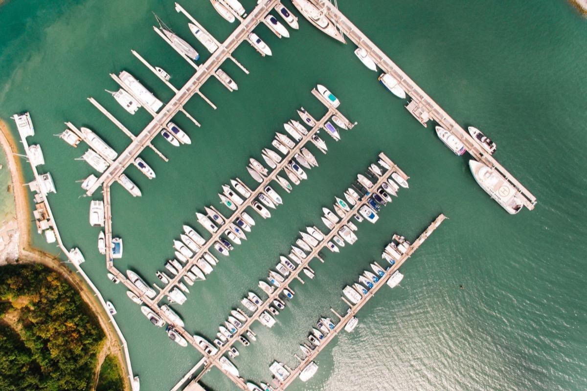
Over water the downward vision system is unreliable and the surface reflects heat instead of emitting it: flights are planned accordingly, and the limits go into the report.
Still water and reflections: downward vision is not reliable here, and the flight is planned knowing it.
Other sectors