Overview and context
Boundaries, access, distances to neighbouring buildings, aspect: all in a single image that a non-specialist can read.
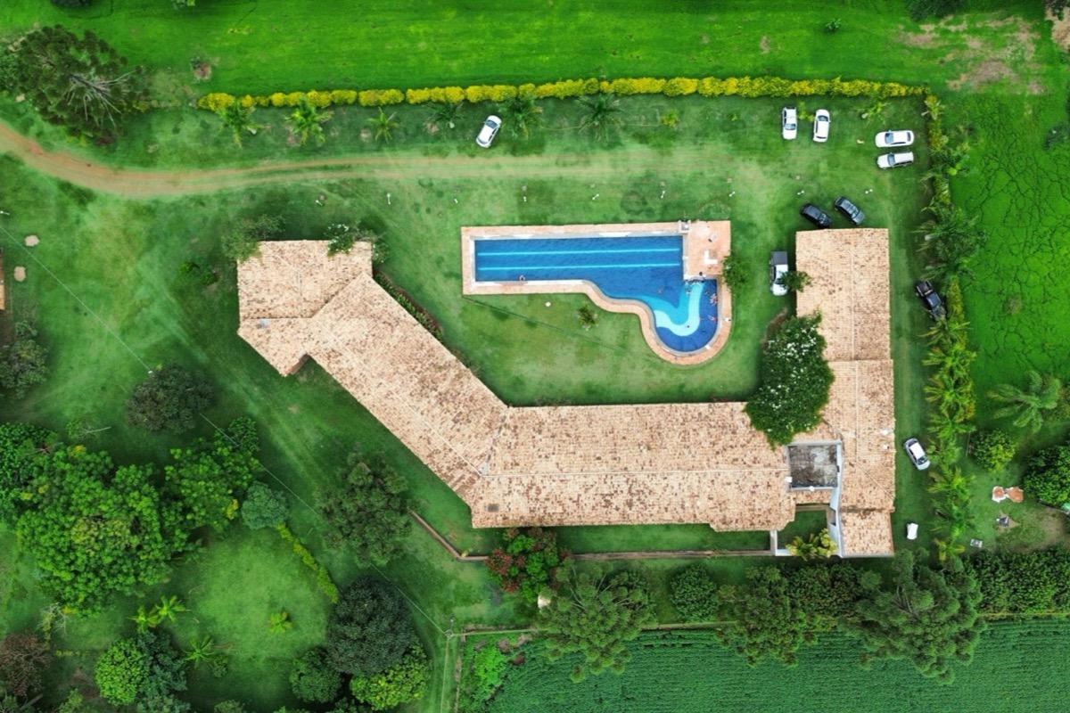
Boundaries, access, pool and parking in one go: what a floor plan does not tell.
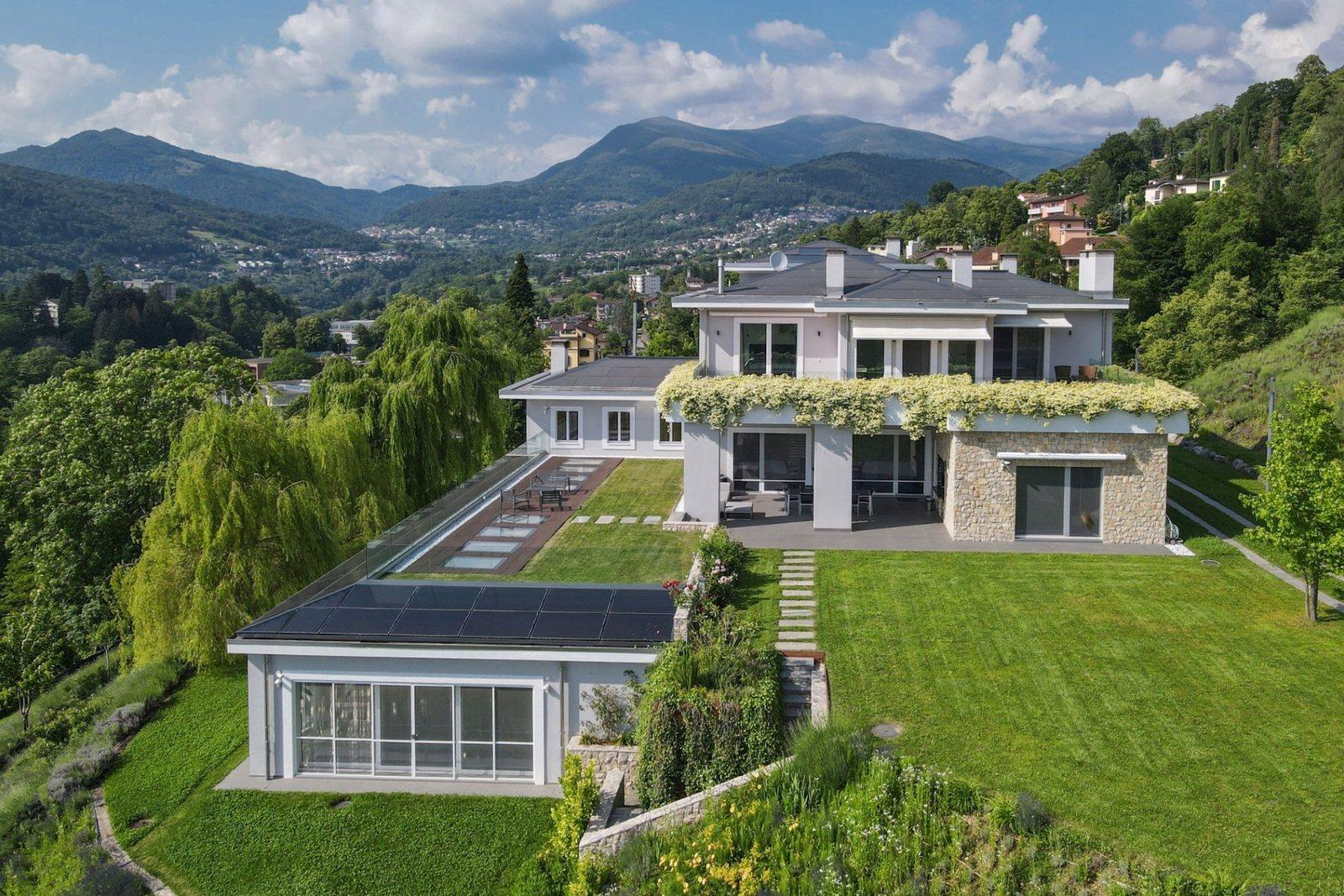
The property and its context: boundaries, access, aspect. Images that sell and, from the same flight, measurements that hold up.
Buyers look at two things a ground-level photograph never shows: where the property ends and what surrounds it. One aerial frame answers both, and the same flight also produces the technical data — areas, distances, roof condition — with no second site visit.
Figures for this sector
Boundaries, access, distances to neighbouring buildings, aspect: all in a single image that a non-specialist can read.
Boundaries, access, pool and parking in one go: what a floor plan does not tell.
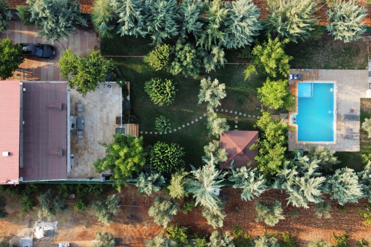
Same flight, different output: a georeferenced image to scale, overlayable on the cadastral map and usable by the technician handling the file.
Straight down over the property: the image is to scale and overlays the cadastral map.
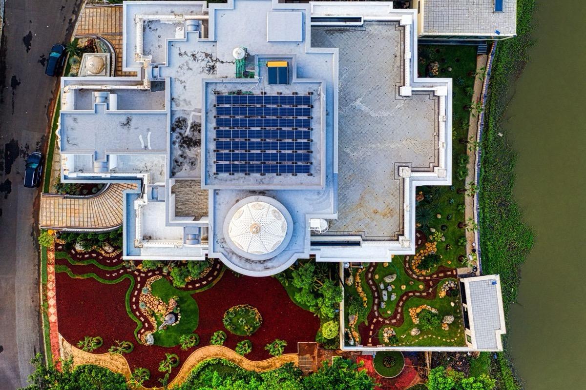
Lifted tiles, flashing, chimneys, skylights and flues documented before completion, from a safe distance and without climbing.
A flat roof with plant and skylights, documented before the deed without climbing up.
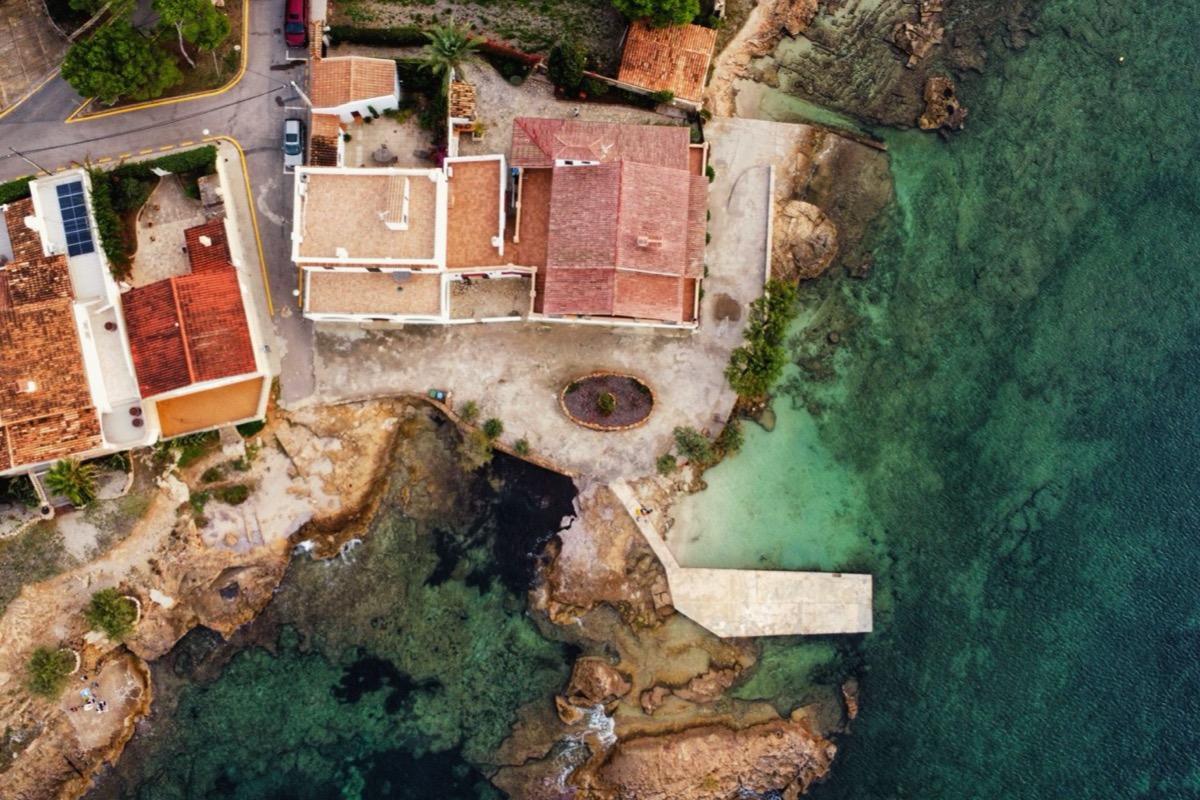
Footage up to 8K cut short for portals and social, edited to keep the eye on the property rather than on the manoeuvre.
The property in its setting: the shot keeps the view on the asset, not on the aerobatics.
Other sectors