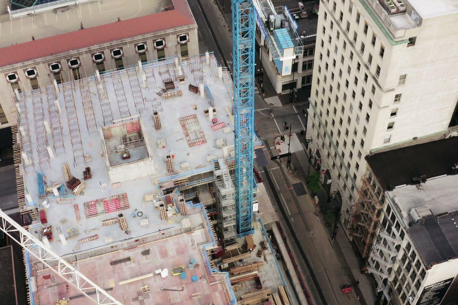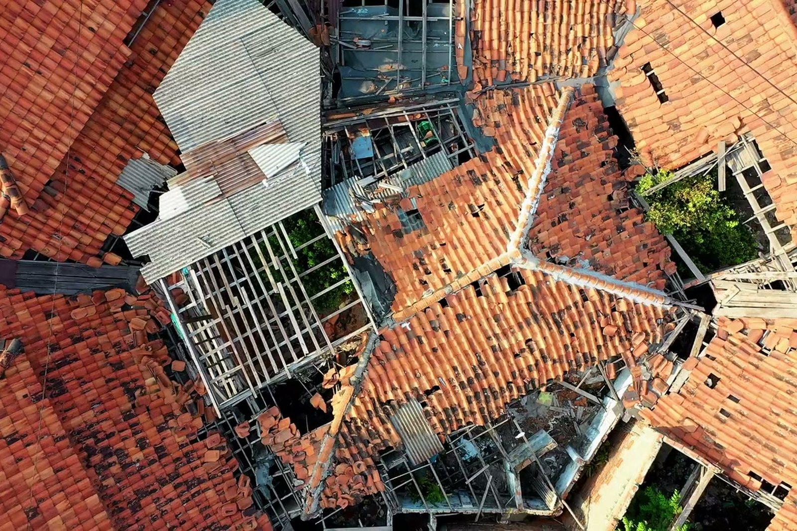
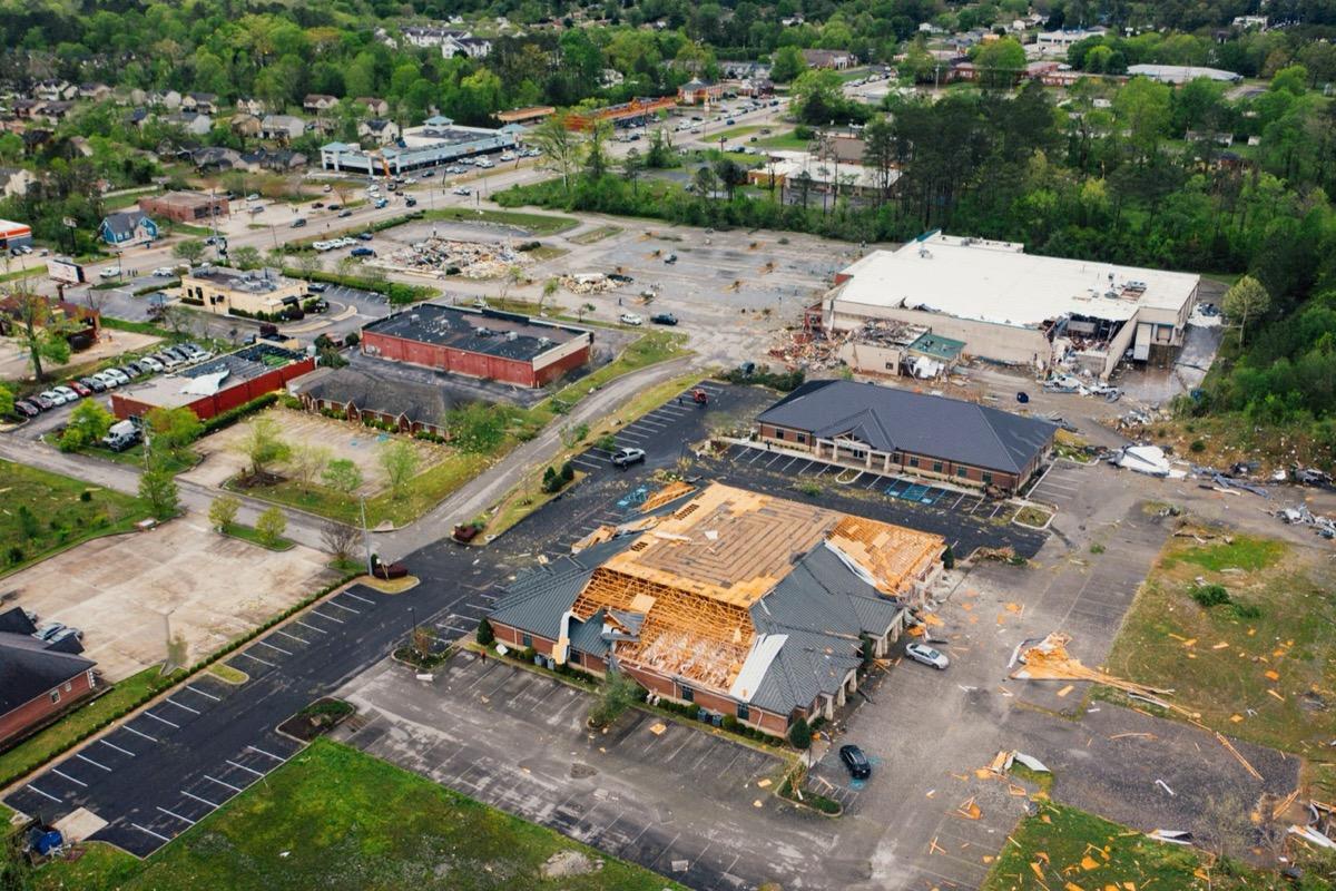
Survey of the damaged area
Georeferenced orthophoto: areas, distances and outlines are taken on the file in the software you already use, and stay verifiable by anyone who reopens the data.
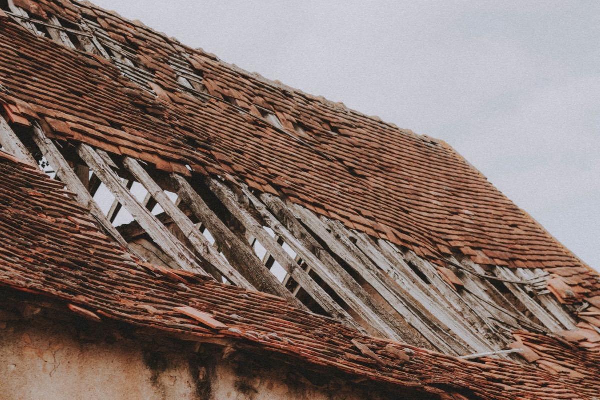
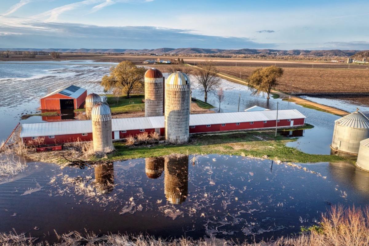
A built-up area after the event: stripped roofs and scattered debris, all in the same scaled image.