Skip to content
All sectors

Environment and land

Illegal dumping, embankments, burnt areas, watercourses: surveyed, measured and dated in a format your GIS reads.

Land changes faster than mapping. A flight returns the state of things on the day it was flown: georeferenced, measurable and reopenable in two years to say exactly what has changed.

Figures for this sector

1 cm/px
orthophoto detail at the usual working altitudes
GeoTIFF
standard format: opens in QGIS with no conversion
48 h
from flight to delivered data

What we do

Fly-tipping and illegal dumps

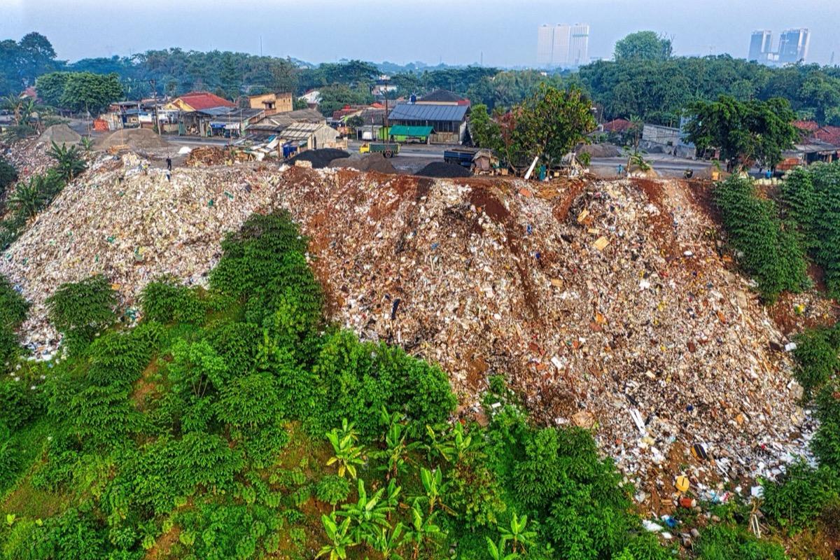
Area occupied, estimated pile volume, access tracks: all measured on the orthophoto, with date and coordinates that hold up in a formal report.

A heap right up against the houses: area, volume and access measured, with date and coordinates.
Embankments, banks and instability

Surveys repeated over the same perimeter: erosion, slips and scour become measurable differences between two terrain models.

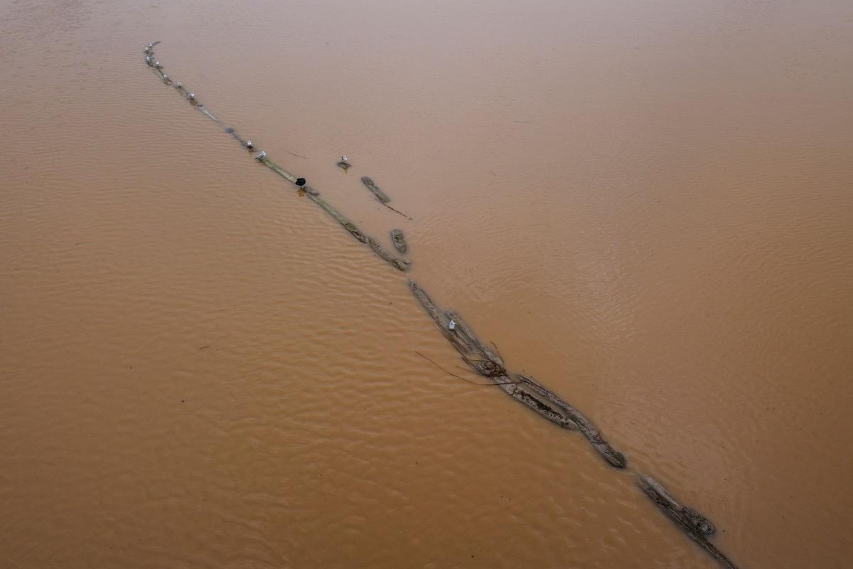
A watercourse loaded after the flood: erosion and scour compared against the previous survey.

Burnt areas

Perimeter of the burnt area mapped right after the event, in a format the authority's GIS opens without conversion.

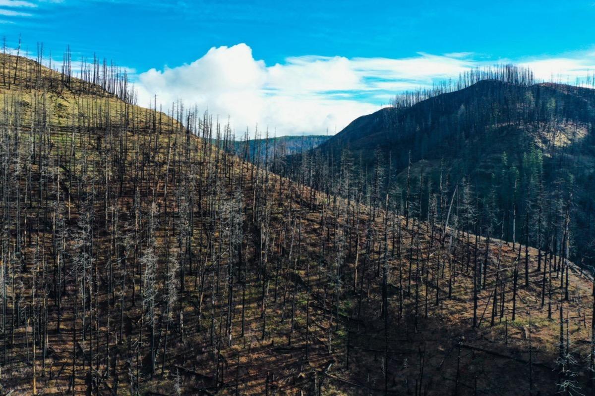
A burnt slope: the perimeter is closed right after the event, in the format the authority opens without conversion.

Vegetation and wildlife

Counts and censuses on the high-resolution orthophoto; the thermal camera separates an animal from the background when a temperature difference exists — at night almost always, in full sun almost never.

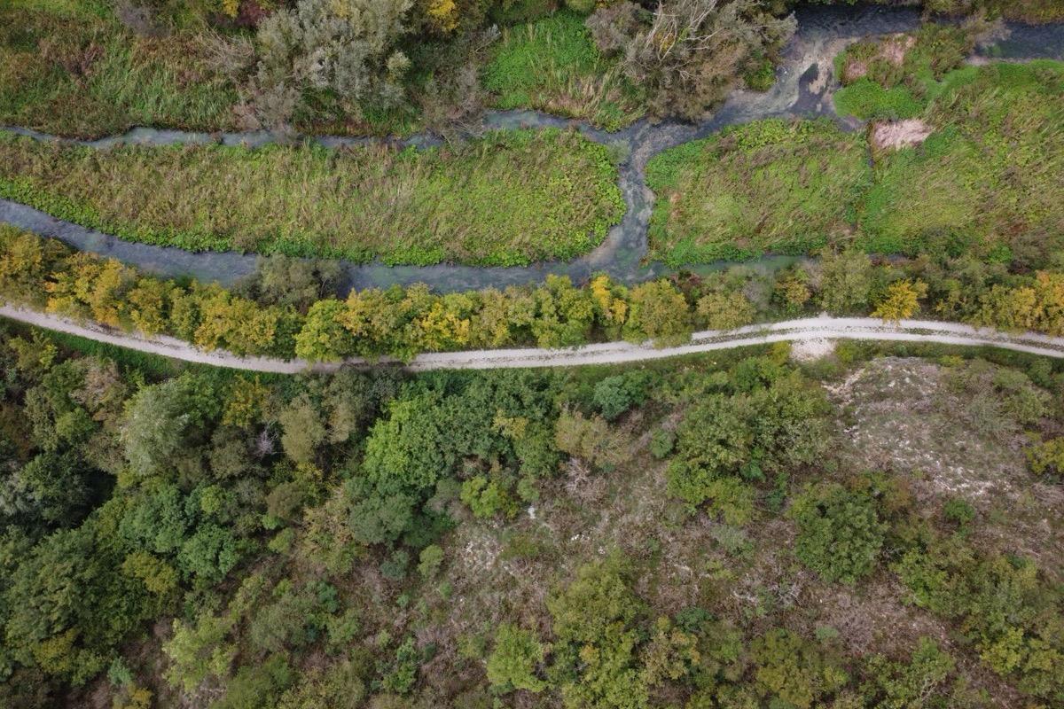
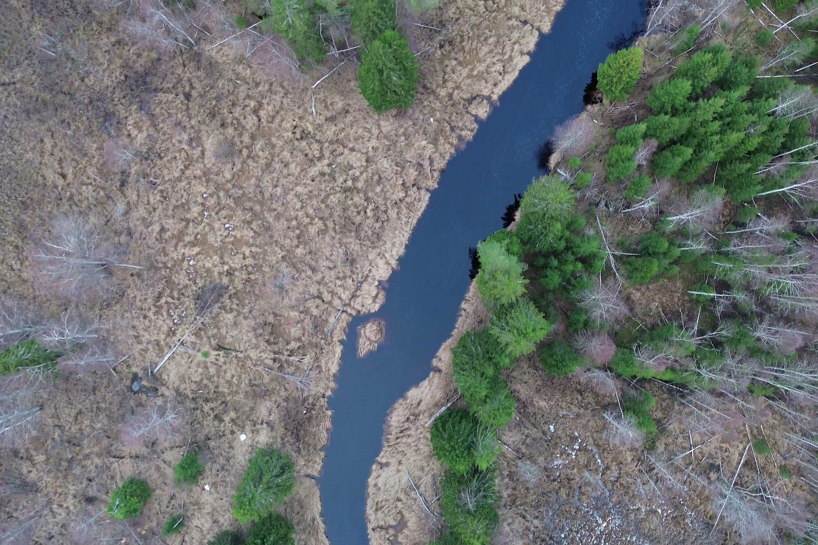
Riparian strip and woodland: counts are made on the orthophoto, where every canopy stays where it was.

What you get

  • Georeferenced orthophoto of the area (GeoTIFF + JPG)
  • Perimeters and areas as shapefile or KML, ready for GIS
  • Terrain model for comparison between campaigns
  • Thermal map, where temperature is part of the survey
  • Report with date, time, coordinates and flight parameters

Site visit and quote at no cost

Let's talk about your project.