Skip to content
All sectors

Solar and renewables

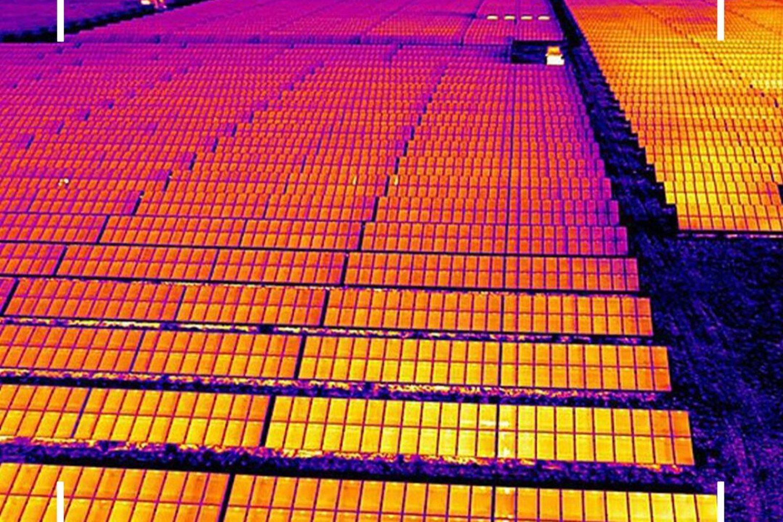
Dead strings and shorted cells found from the air: every thermal pixel carries a measured temperature.

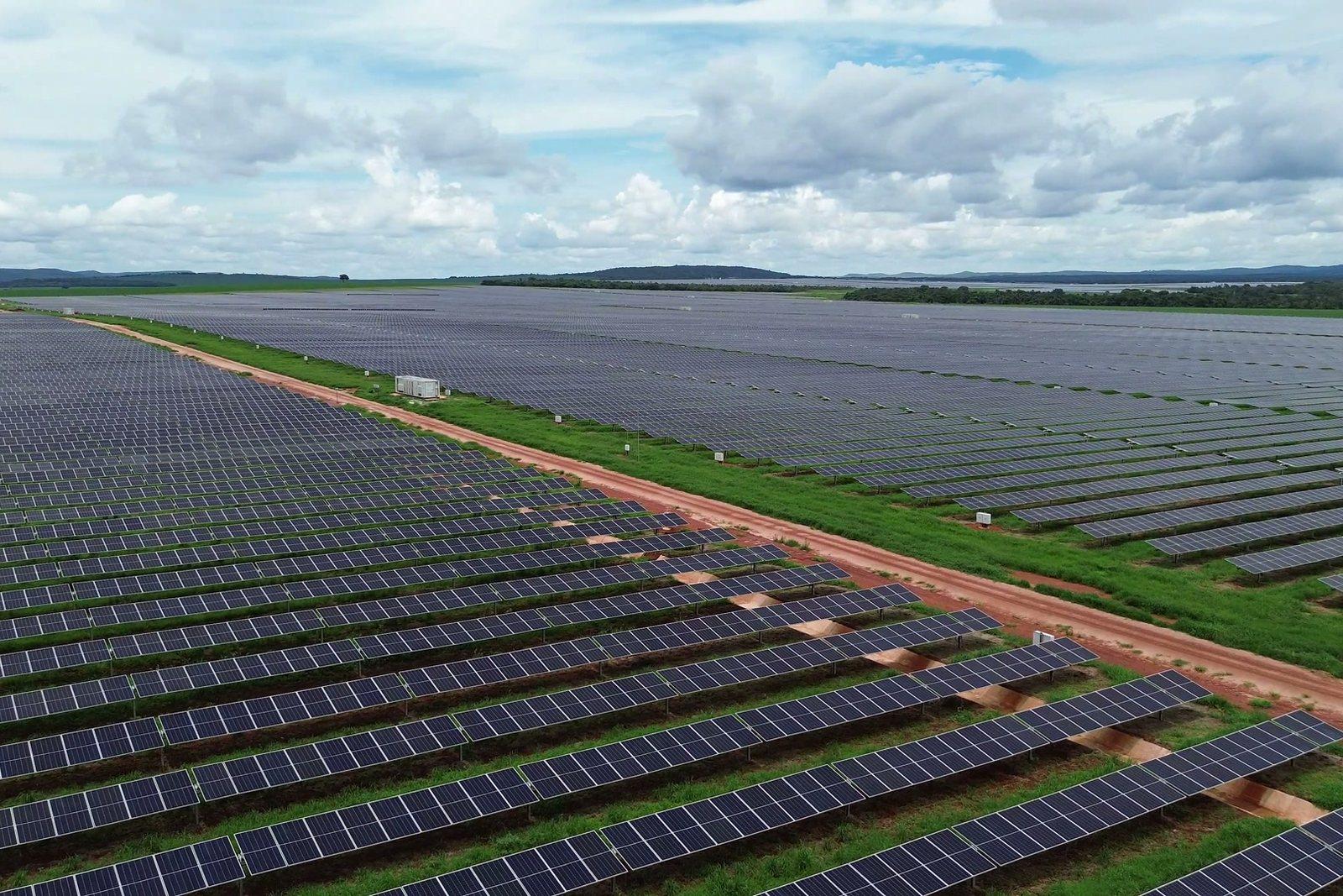
A module that stops producing does not change appearance. It changes temperature: a shorted cell or a failed bypass diode dissipates instead of producing, and runs hotter than the rest of the string. From the ground it is invisible; from the air, with a radiometric thermal camera, it is the most obvious thing on the site.

Figures for this sector

5.5 cm/px
thermal detail required by the inspection standard
±2 °C
stated accuracy of the radiometric measurement
640 × 512
temperature points in every thermal image

What we do

Field thermography to standard

The acquisition standard established in the sector calls for 5.5 centimetres per pixel on the thermal image, 40 metres altitude, 70% forward and 20% side overlap, and the camera tilted like the modules. That is what the route is planned on, not a feel for it.

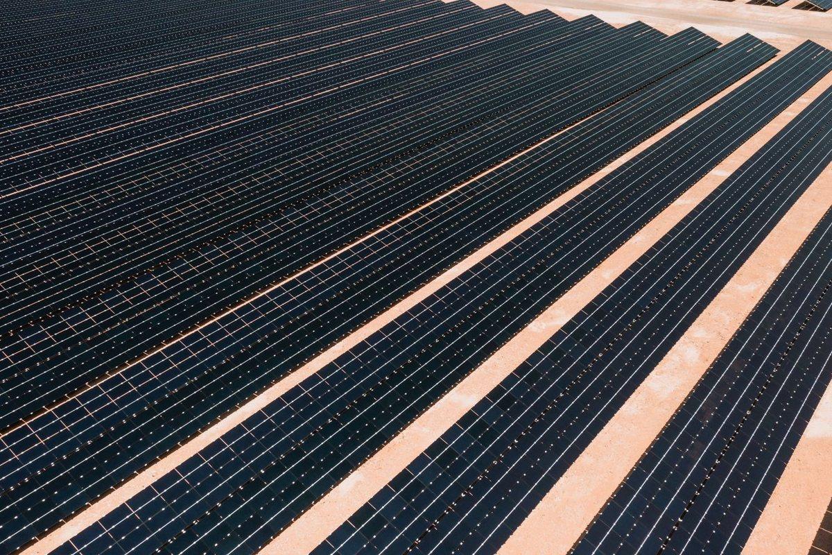
The whole field in thermal: hot strings stand apart before any analysis.
Anomalies classified per module

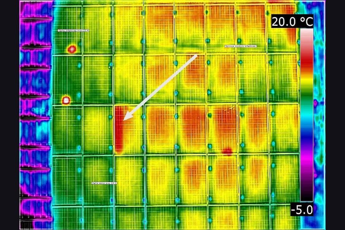
Single-cell hot spot, dead substring, whole module out of service, degraded connection: each anomaly on the map with its position in the field and the temperature measured.

Our own survey: a faulty cell at 23.4 °C against 10.1 °C on a healthy cell beside it. Thirteen degrees apart on the same panel.

Rooftop systems

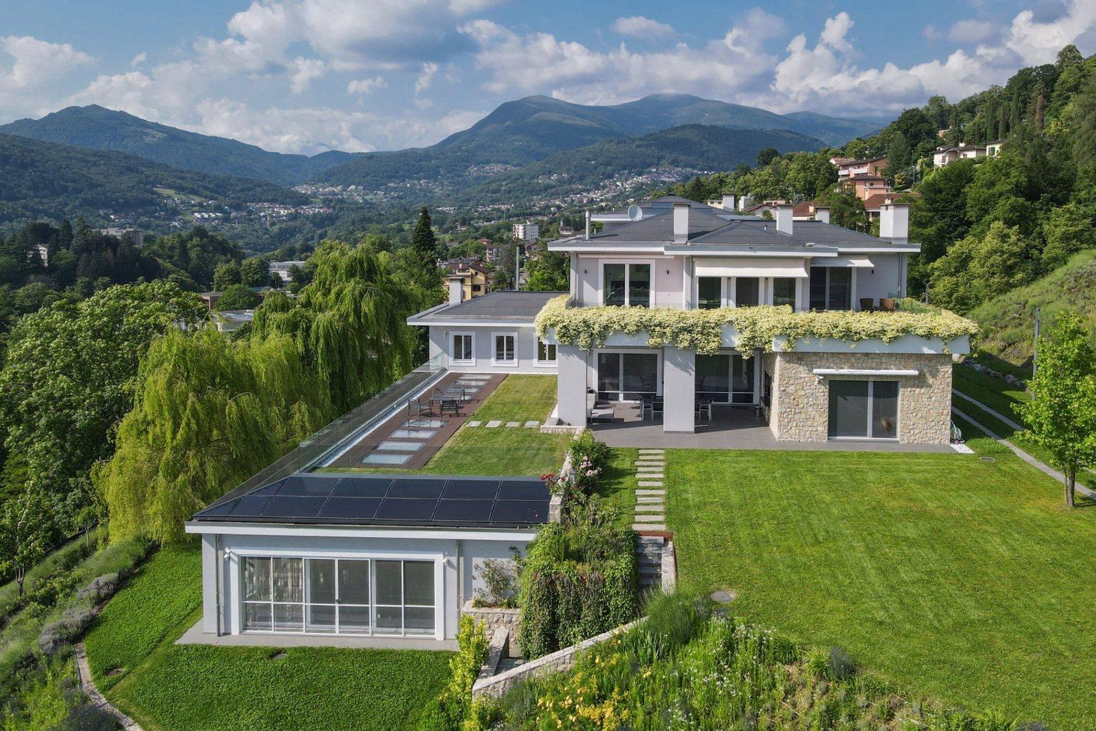
On roofs we fly right after sunset: direct solar load has ended but the roof is still warm, and differences read without sun glare on the glass.

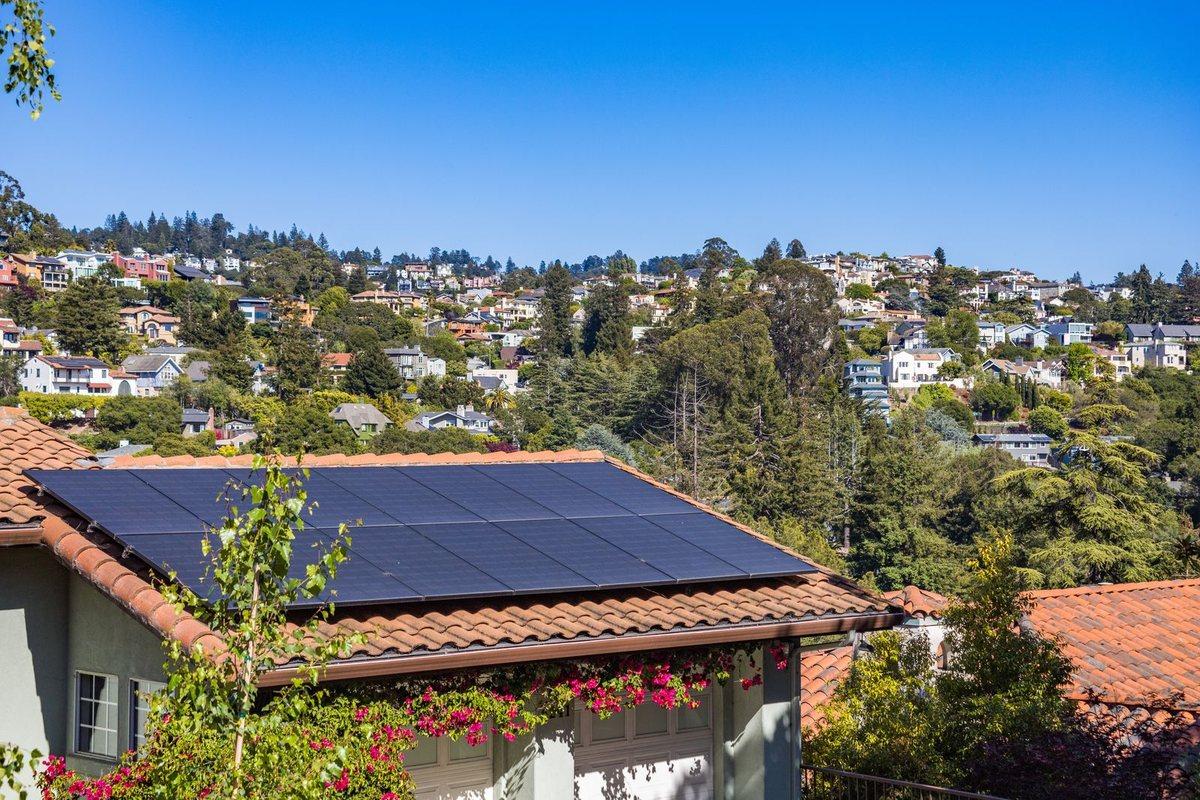
A residential rooftop system: no scaffolding, nobody walking the roof.

Verification after repair

Same flight, same parameters, after replacement: documented proof that the anomaly is gone.

The same rows flown again: if the comparison does not change, the fault is still there.

What you get

  • Georeferenced thermal map of the plant
  • List of anomalies with position, type and measured temperature
  • Visible-light orthophoto of the same field, aligned to the thermal map
  • Original radiometric R-JPEGs, reopenable and re-measurable by anyone
  • Report stating altitude, overlap, emissivity and distance used

Site visit and quote at no cost

Let's talk about your project.