Skip to content
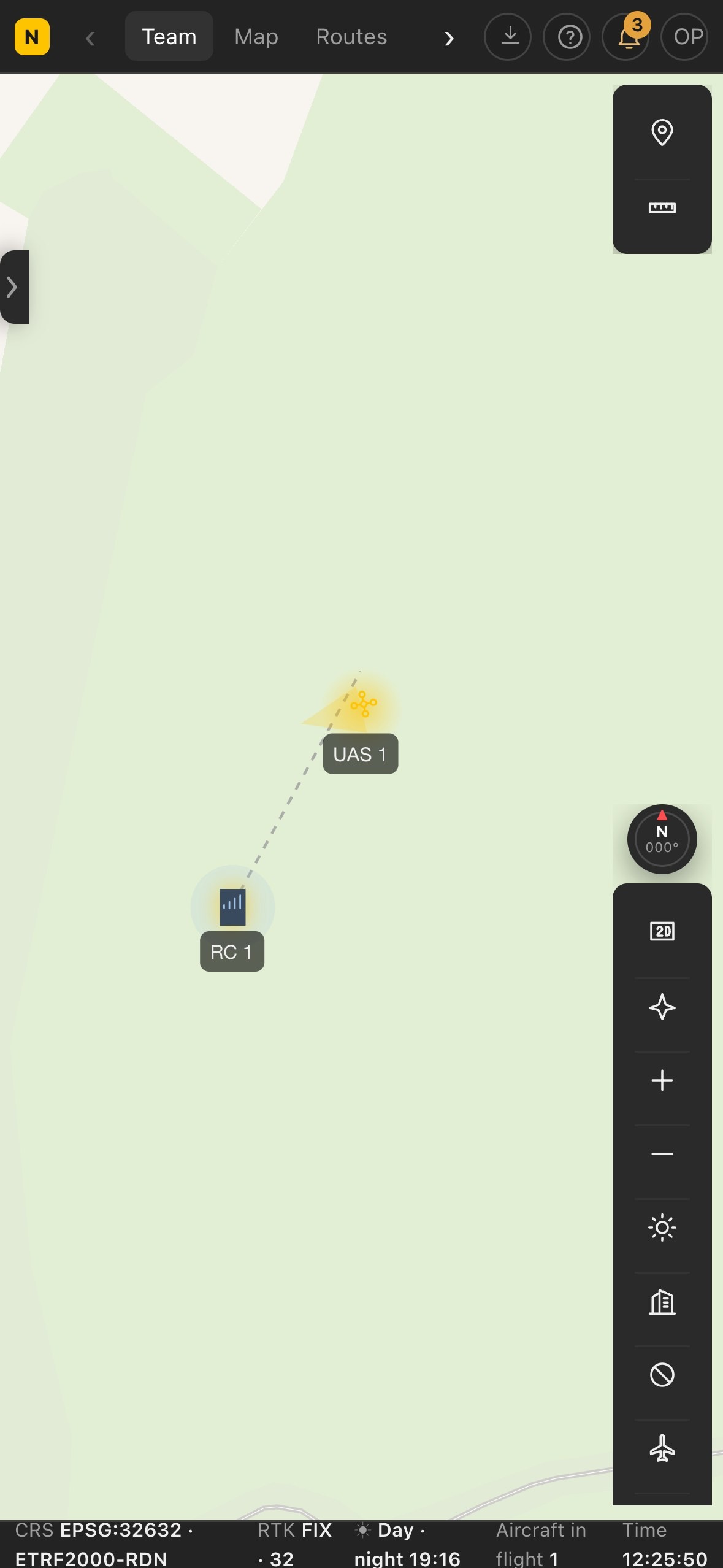
Centro operativo on computer, tablet and phone
Centro operativo on computer, tablet and phoneExample values.

Maps: OpenFreeMap © OpenMapTiles, data © OpenStreetMap contributors. The cockpit video shows an example aerial photo.

Centro operativo · Pixel Air proprietary software

Centro operativo

Mission planning and control, from the browser

Centro operativo is the software we use to plan, fly and document every mission: routes computed for the required output, live video that can be shared with the client, thermal camera, recognition of people, vehicles and animals, airspace and weather in a single interface, shared by the pilot in the field and the coordinator at base, even kilometres apart.

Choose the version

Available soon

per organisation, per month

What is included

  • Unlimited aircraft
  • 2,000 live minutes per month included
  • 500 GB of storage for photos and videos
  • 3,000 mapping images per month
  • Unlimited users

Activation. After purchase, Pixel Air sets up the dedicated Centro and sends the address and access code by email. Before activation we check aircraft compatibility with the client.

Centro operativo

What more Centro operativo does

Compared with other flight management software, Centro operativo brings together AI on the live video, a flight log nobody can alter and all the paperwork.

Tamper-proof flight record

Chained daily log, signed, with timestamps from two third-party authorities, signed receipts and a public verification page. It can be handed to the authorities and nobody can alter it, not even Pixel Air.
Vehicles, colours and plates, live

The AI recognises every vehicle with its colour on the live video and reads the number plate in the box drawn by the operator.

Wildlife flagged live

Animals are flagged on the video, thermal included, with a suggested species: wild boar, foxes, coypu.

Assessment from a photo

From a photo the AI assesses crop damage and locates burrows.

From a sentence to a route

Type what to do, for example «survey the field at 60 metres», and Centro operativo prepares the route ready to send.

Official d-flight zones

d-flight zones on the same map as the route: for restricted zones or zones needing authorisation, Centro operativo asks for confirmation before sending.

Real-time air traffic

Nearby aircraft and helicopters on the map, with an altitude comparable to the drone's.

Operations in one place

Missions, pilot certificates, incidents and documents in the same Centro where flights are planned and flown.

Data in Europe, support in Italian

Routes, videos and photos stay on our servers in Europe, not on the drone manufacturer's. Direct support, in Italian.

Centro operativo

Applications

Surveys and mapping

Routes computed on the required resolution: area, flight lines, number of shots and timings known before take-off, with orthophotos and design drawings overlaid on the route.

Thermography

Temperature measurement of a point directly on the thermal video, with the drone in flight: roofs, PV plants, heat loss.

Search and rescue

People recognition on the live video, thermal camera, spotlight and speaker; the coordinator sees the same images as the pilot and the drone's position in real time.

Wildlife

Automatic detection of animals on the thermal video, with estimated length, for live searches and counts, including at night.

Security and land monitoring

Vehicle recognition with colour, number plate reading, repeatable patrols with people detection active.

Productions and events

Live feed from the drone for the director and the client via a link, with no software to install.

Centro operativo

Full list of features

Routes and surveys

Seven route types
Waypoint, area, slope, linear, geometric, patrol and 3D capture, for every type of job: from mapping a field to inspecting around a tower.
Survey computed while drawing
Area, flight lines, shots, time and batteries computed from the required ground resolution, with the maximum exposure time to avoid motion blur.
Per-waypoint settings
Altitude, heading, lens, zoom and actions for each waypoint; wide and telephoto in the same shot.
3D view and virtual flight
The route at its real altitude over the terrain model, which can be flown in first person with the framing of the chosen lens before take-off.
Minimum clearance above terrain
Computed along the whole route on the terrain model, rounded down: the value shown is always conservative.
Automatic avoidance of no-fly zones
Flight lines stop at the edge of no-fly zones and are joined by going around them; risky legs are marked as no-return.
Copilot: routes from text commands
Type «rilievo del campo a 60 metri» or «alza la quota a 80»: Centro operativo shows how it interpreted the command, then creates or edits the route. It works in Italian, including on the remote controller without a connection.
Routes sent to the remote controller
Routes reach the remote controller ready to fly and repeat identically months apart, from the same viewpoint.

Thermal camera

Temperature measurement on the video
Selecting a point on the thermal video returns its temperature live, with the drone still over the area.
Animal detection
Hot spots are flagged automatically on the video with estimated length: searches and counts are carried out in flight, including at night.
Thermal, wide and zoom
The live lens is switched from the computer: thermal to find, zoom to recognise, without taking control away from the pilot.
Distance and position
The laser rangefinder measures the distance to the framed point and plots its position on the map.

AI on the video

People
Boxes around people in the live video, with an alert when they appear: the search does not rely solely on the operator's attention.
Vehicles and colours
Each vehicle recognised with its colour, to search for a reported vehicle.
Number plate reading
When a box is drawn around the plate in the video, Centro operativo reads its characters and country.
Confidentiality
Recognition runs on our own computers: the video does not go through external services.

Live flight

Telemetry
Position, altitudes, speed, distance from home, batteries, signal and sensor status, in real time.
Aircraft alerts
On-board alerts in plain language, read aloud and recorded in the day's log, Remote ID included.
Control from the computer
Take-off, fly to point, orbit, return to home and landing; sticks from the keyboard or a gamepad, like on the remote.
Pilot priority
The remote controller takes priority over the computer: if the pilot intervenes, control returns to them. Before take-off the system presents the checks to confirm.

Video, camera and accessories

Near real-time live feed
Drone video at base with minimal latency, even with the remote controller on 4G.
A link for the client
A view-only page for whoever needs to follow the live feed without entering the program.
Remote camera
Lens, zoom, focus, exposure and shutter from the computer.
Spotlight and speaker
Spotlight on, off and dimming; voice messages broadcast through the drone's speaker.
Images available during flight
Shots reach base during the flight, without waiting for the memory card; every flight is recorded in the logbook.

Map

Base maps across Italy and Europe
Very high resolution imagery across Italy and Europe and light and dark maps, with the surveys processed in Landnix on top.
Landnix surveys on the map
Orthophotos and terrain models processed with Landnix on the map, in 2D and 3D.
DXF and PDF drawings
Design drawings overlaid on the map, in their own coordinate system or georeferenced on four points.
Notes, measurements and search
Points, lines, areas, circles and distances shared with the team; search across routes, plans and places.

Airspace, weather and safety

Flight zones
Official UAS geographical zones on the map: restricted zones and zones requiring authorisation ask for confirmation before a route is sent.
Work areas
Manually defined no-fly zones, work area and no-landing zones: routes that touch them are blocked.
Air traffic
Nearby aircraft and helicopters, with an altitude comparable to the drone's.
Weather
Hourly forecast at the flight location with the drone's operating limits, and the solar activity index, which affects satellite positioning.
Flight data to airspace services
The drone's in-flight position sent to the airspace management services that request it.

Missions and team

Missions in six steps
Mission, category and flight, crew and aircraft, risk assessment, checks and documents, approval: no flight starts until every step is complete.
Risk assessment
For every threat, preventive and mitigating barriers, referenced to our Operations Manual.
Deadlines and reports
Certificates and documents flagged before they expire; an occurrence log with the time left for mandatory reports.
Roles and access
Observer, pilot, administrator; data shared across workstations, protected individual access.
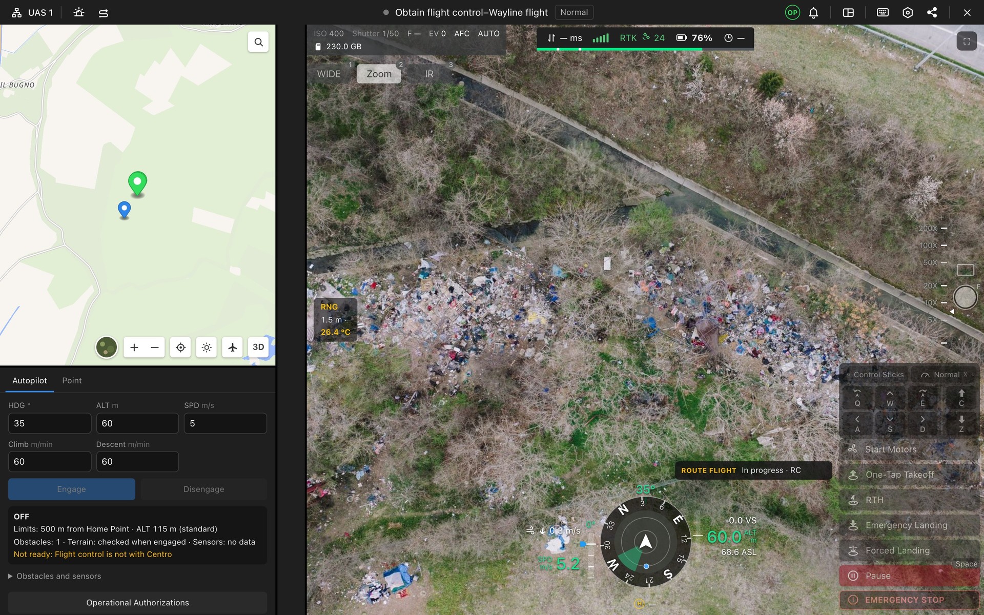
In-flight cockpit: video, telemetry, autopilot

In-flight cockpit: video, telemetry, autopilotExample flight values and image.
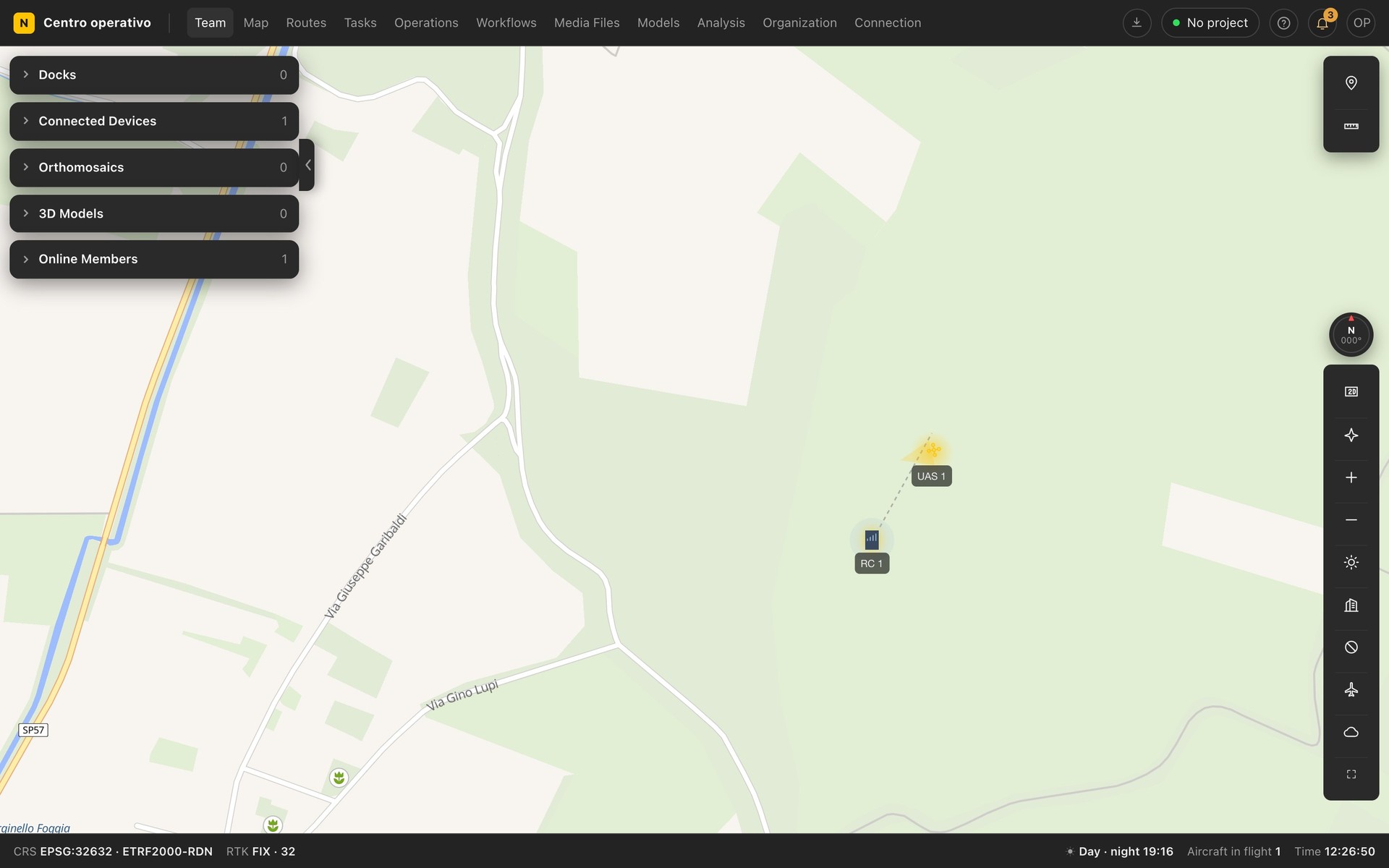
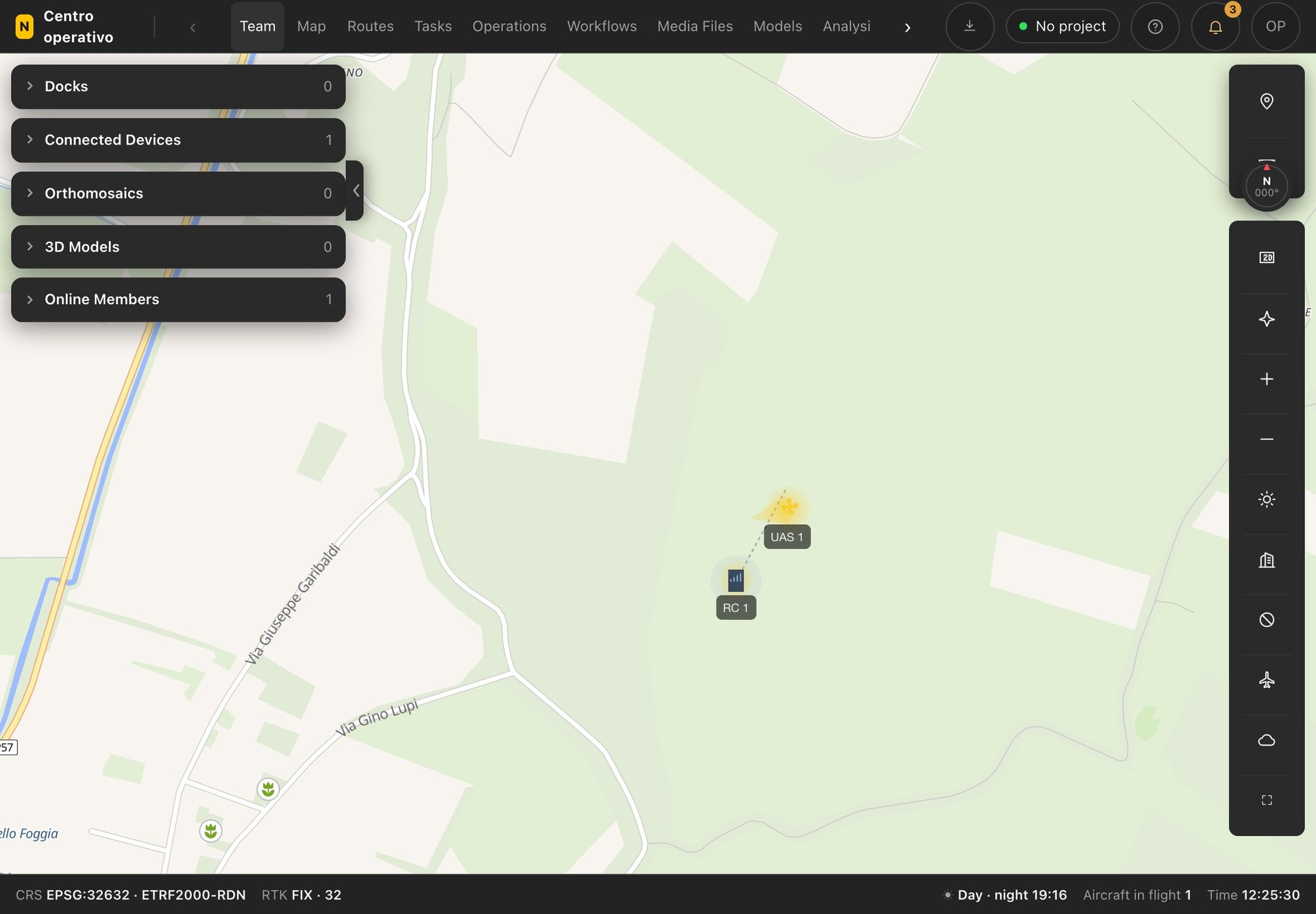
Map with connected aircraft

Map with connected aircraftExample values.

Centro operativo: available soon

Pro and Enterprise plans, unlimited users, servers in Europe.