Tamper-proof flight record
Chained daily log, signed, with timestamps from two third-party authorities, signed receipts and a public verification page. It can be handed to the authorities and nobody can alter it, not even Pixel Air.
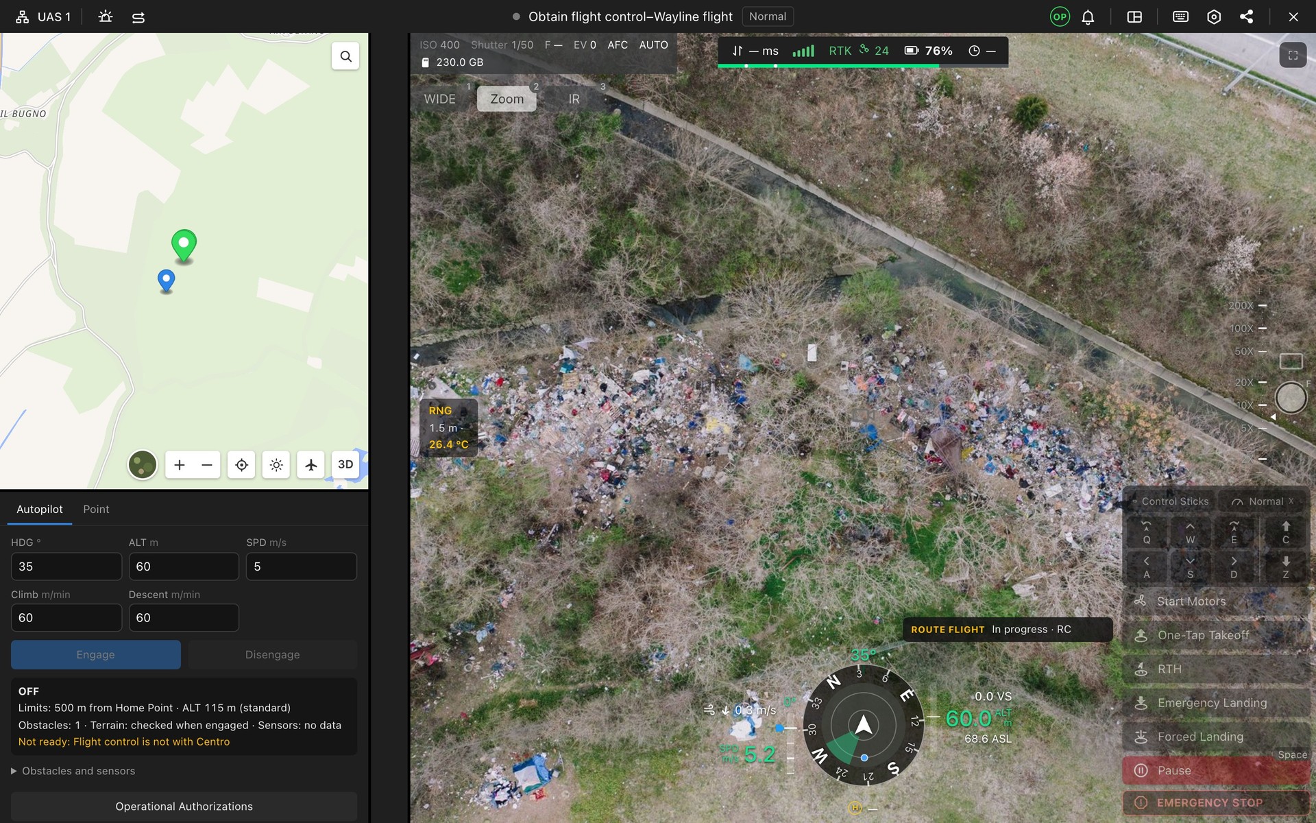
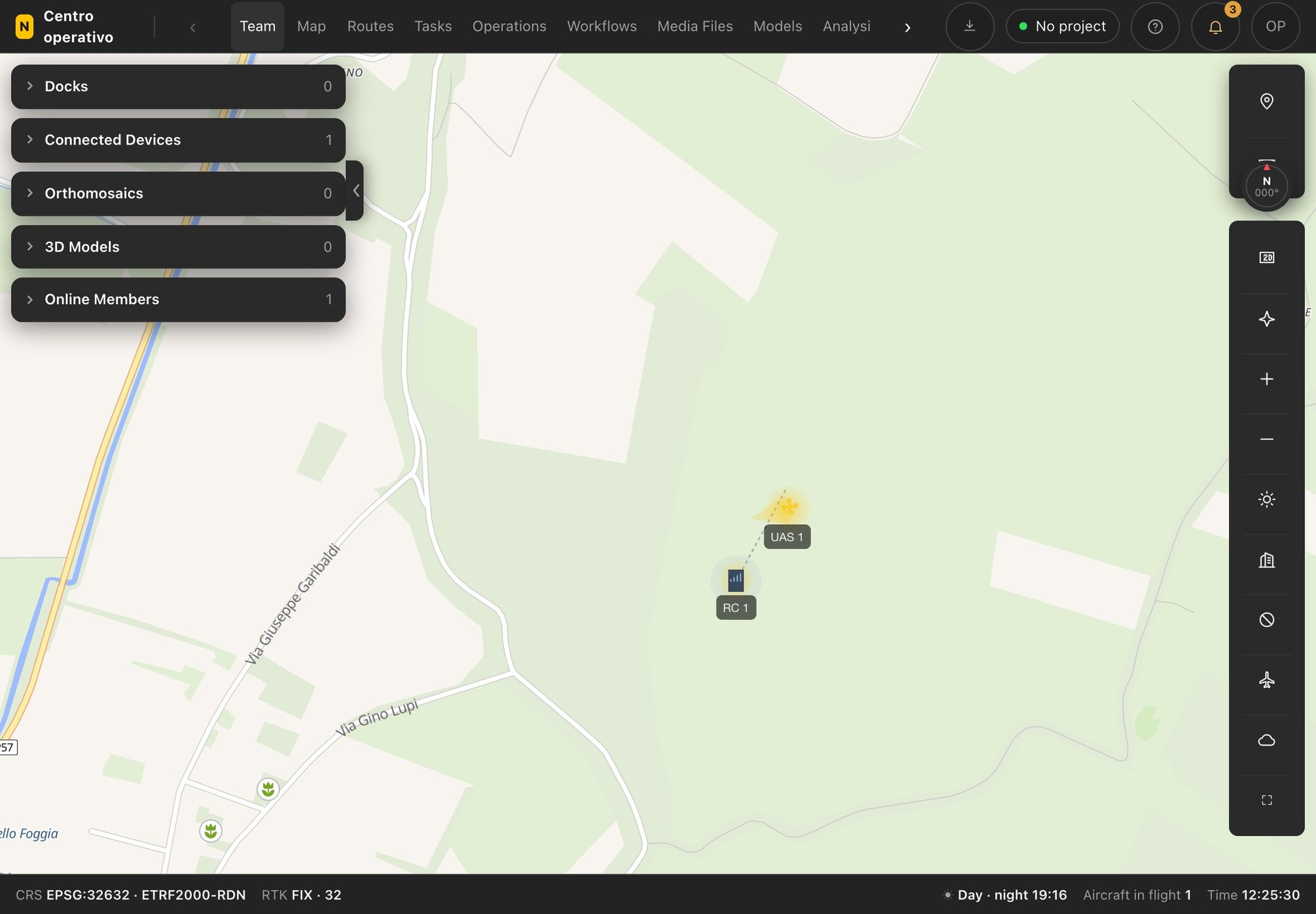
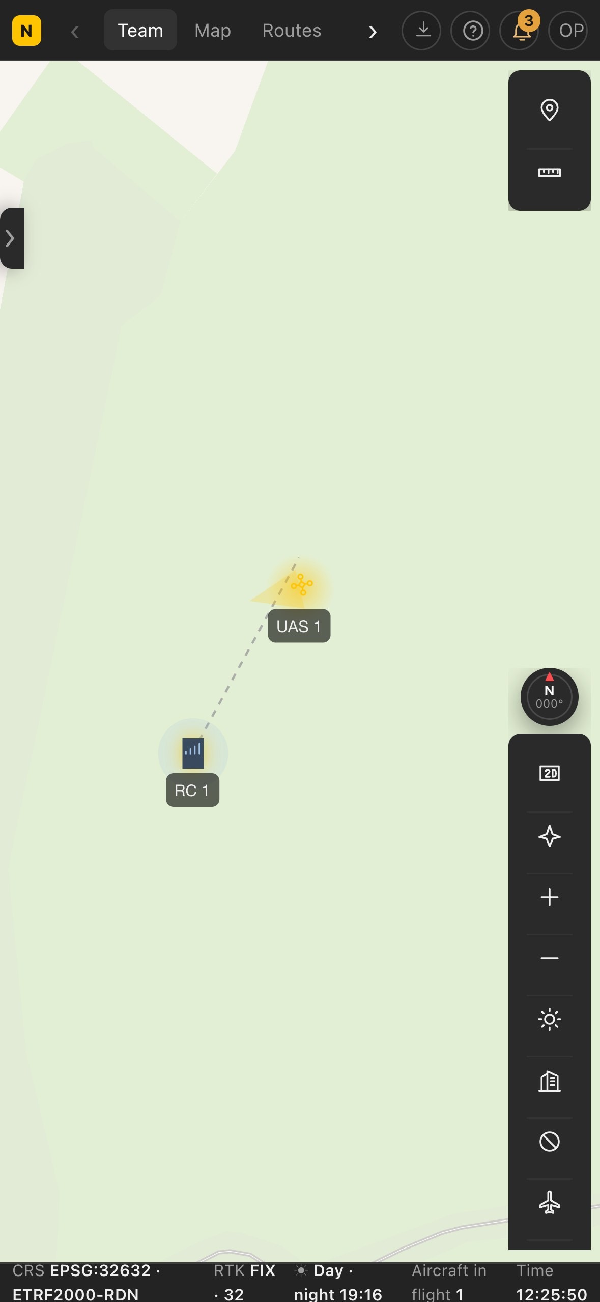
Maps: OpenFreeMap © OpenMapTiles, data © OpenStreetMap contributors. The cockpit video shows an example aerial photo.

Centro operativo · Pixel Air proprietary software
Mission planning and control, from the browser
Centro operativo is the software we use to plan, fly and document every mission: routes computed for the required output, live video that can be shared with the client, thermal camera, recognition of people, vehicles and animals, airspace and weather in a single interface, shared by the pilot in the field and the coordinator at base, even kilometres apart.
Choose the version
Available soon
1 aircraft connected at a time, per year
What is included
Activation. After purchase, Pixel Air sets up the dedicated Centro and sends the address and access code by email. Before activation we check aircraft compatibility with the client.
Centro operativo
Compared with other flight management software, Centro operativo brings together AI on the live video, a flight log nobody can alter and all the paperwork.
Chained daily log, signed, with timestamps from two third-party authorities, signed receipts and a public verification page. It can be handed to the authorities and nobody can alter it, not even Pixel Air.
The AI recognises every vehicle with its colour on the live video and reads the number plate in the box drawn by the operator.
Animals are flagged on the video, thermal included, with a suggested species: wild boar, foxes, coypu.
From a photo the AI assesses crop damage and locates burrows.
Type what to do, for example «survey the field at 60 metres», and Centro operativo prepares the route ready to send.
d-flight zones on the same map as the route: for restricted zones or zones needing authorisation, Centro operativo asks for confirmation before sending.
Nearby aircraft and helicopters on the map, with an altitude comparable to the drone's.
Missions, pilot certificates, incidents and documents in the same Centro where flights are planned and flown.
Routes, videos and photos stay on our servers in Europe, not on the drone manufacturer's. Direct support, in Italian.
Centro operativo
Routes computed on the required resolution: area, flight lines, number of shots and timings known before take-off, with orthophotos and design drawings overlaid on the route.
Temperature measurement of a point directly on the thermal video, with the drone in flight: roofs, PV plants, heat loss.
People recognition on the live video, thermal camera, spotlight and speaker; the coordinator sees the same images as the pilot and the drone's position in real time.
Automatic detection of animals on the thermal video, with estimated length, for live searches and counts, including at night.
Vehicle recognition with colour, number plate reading, repeatable patrols with people detection active.
Live feed from the drone for the director and the client via a link, with no software to install.
Centro operativo
In-flight cockpit: video, telemetry, autopilotExample flight values and image.
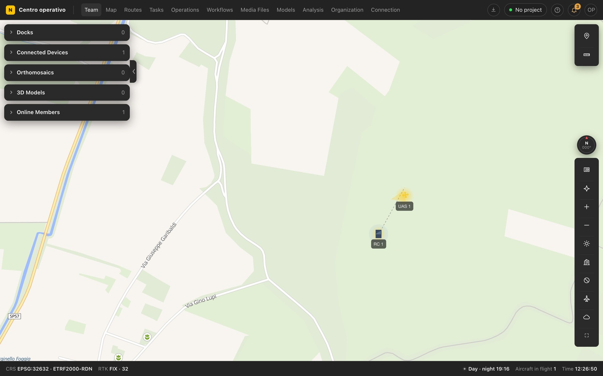
Map with connected aircraftExample values.
Pro and Enterprise plans, unlimited users, servers in Europe.